 My GeoNetwork catalogue
Datensammlung 3. Bewirtschaftungszyklus der Wasserrahmenrichtlinie Land Brandenburg 2022-2027- WFS
WebFeatureService mit Daten des 3. Bewirtschaftungszyklus der Wasserrahmenrichtlinie des Landes Brandenburg, gültig für den Zeitraum 2022-2027. Stand der Daten: 22.12.2021 Metadaten: https://metaver.de/trefferanzeige?docuuid=0AA402F1-D79D-45D0-8076-72375B68800A Maßstab: 1:25; Bodenauflösung: nullm; Scanauflösung (DPI): null
Simple
Identification info
- Alternate title
-
WFS WRRL 3. BWZ
- Date (Creation)
- 2025-09-25T12:52:57.000+02:00
- Status
- Completed
033201 / 442 298
https://www.geobasis-bb.de
+49 33201 442-190
https://lfu.brandenburg.de
-
Service Classification, version 1.0
-
-
infoFeatureAccessService
-
- Keywords
-
-
ESRI(longlat)
-
3. Bewirtschaftungszyklus
-
-
UMTHES Thesaurus
-
GEMET - Concepts, version 3.1
- Use constraints
- Other restrictions
- Other constraints
-
kostenfrei, unter Beachtung der Lizenzbedingungen
- Access constraints
- Other restrictions
- Other constraints
-
Datenlizenz Deutschland – Namensnennung – Version 2.0: https://www.govdata.de/dl-de/by-2-0
- Service Type
- download
- Service Version
-
OGC:WFS 2.0
- Extent type code
- Yes
- Geographic identifier
- Messstellen_Oberflaechenwasserkoerper
))
- Extent type code
- Yes
- Geographic identifier
- Messstellen_Grundwasserkoerper
))
- Extent type code
- Yes
- Geographic identifier
- Fliessgewaesserwasserkoerper
))
- Extent type code
- Yes
- Geographic identifier
- Seewasserkoerper
))
- Extent type code
- Yes
- Geographic identifier
- Grundwasserkoerper
))
- Begin date
- 2022-01-01T00:00:00.000+01:00
- End date
- 2027-12-31T00:00:00.000+01:00
- Coupling Type
- Tight
Contains Operations
- Operation Name
-
GetCapabilities
- Distributed Computing Platforms
- Web services
Contains Operations
- Operation Name
-
DescribeFeatureType
- Distributed Computing Platforms
- Web services
- Connect Point
- https://maps.brandenburg.de/services/wfs/wrrl3bwz_wfs?
Contains Operations
- Operation Name
-
GetFeature
- Distributed Computing Platforms
- Web services
- Connect Point
- https://maps.brandenburg.de/services/wfs/wrrl3bwz_wfs?
Contains Operations
- Operation Name
-
GetGmlObject
- Distributed Computing Platforms
- Web services
- Connect Point
- https://maps.brandenburg.de/services/wfs/wrrl3bwz_wfs?
- Unique resource identifier
- EPSG 25833: ETRS89 / UTM Zone 33N
- Distribution format
-
- OnLine resource
- https://maps.brandenburg.de/services/wfs/wrrl3bwz_wfs
- OnLine resource
- Dienst "Datensammlung 3. Bewirtschaftungszyklus der Wasserrahmenrichtlinie Land Brandenburg 2022-2027- WFS" (GetCapabilities) ( OGC Web Feature Service )
- File identifier
- 09cbf867-02cb-4db1-8e86-8991e7595c2d XML
- Metadata language
- Deutsch
- Character set
- UTF8
- Hierarchy level
- Service
- Hierarchy level name
-
service
- Date stamp
- 2026-02-25
- Metadata standard name
-
ISO19119
- Metadata standard version
-
2005/PDAM 1
033201 / 442 298
Overviews
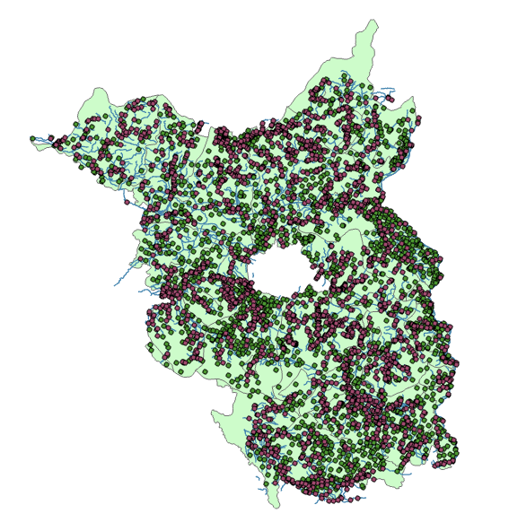
Spatial extent
Provided by
