 My GeoNetwork catalogue
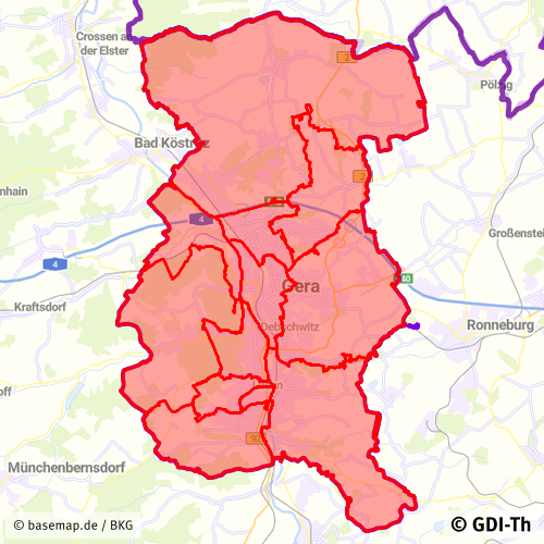
Statistische Bezirke Stadt Gera
Statistische Gliederung der Stadt Gera
Simple
- Date (Revision)
- 2024-05-27
- Citation identifier
- https://registry.gdi-de.org/id/de.th.csw/c52d3db7-88f3-4347-ba59-25d5f290fe30
- Presentation form
- Digital document
- Status
- On going
+49 365 838 1845
https://www.gera.de/
- Maintenance and update frequency
- As needed
- Update scope
- Dataset
- Keywords
-
-
Statistische Einheiten
-
Thüringen
-
Georedakteur_Kommunal
-
- Use limitation
-
Nutzungsbedingungen: Es gelten keine Bedingungen
- Access constraints
- Other restrictions
- Use constraints
- Other restrictions
- Use constraints
- Copyright
- Other constraints
-
Nutzungsbedingungen: © Stadt Gera
- Spatial representation type
- Vector
- Denominator
- 15000
- Language
- Deutsch
- Topic category
-
- Boundaries
- Description
-
Stadt Gera
- Code
- 1605200000000
))
- Reference system identifier
- http://www.epsg.org / http://www.opengis.net/def/crs/EPSG/0/25832
- Distribution format
-
-
PDF
(
1.5
)
-
PDF
(
1.5
)
- OnLine resource
-
Darstellungsdienst für kommunale Geodaten
(
OGC:WMS-http-get-map
)
Web Map Service (WMS) - Darstellungsdienst für alle in der GDI-Th veröffentlichten kommunalen Geodaten
- OnLine resource
-
Direktdownload Statistische Bezirke
(
WWW:DOWNLOAD-1.0-http--download
)
Direktdownload - Statistische Bezirke der Stadt Gera
- OnLine resource
-
Darstellungsdienst GeoPortal Gera
(
OGC:WMS-http-get-map
)
Web Map Service (WMS) - Darstellungsdienst GeoPortal Gera
- Hierarchy level
- Dataset
Conformance result
- Alternate title
-
INSPIRE Daten Spezifikation für Statistische Einheiten - Technische Richtlinien
- Date (Publication)
- 2013-12-10
- Explanation
-
Originäre Daten
- Pass
- No
Conformance result
- Alternate title
-
Verordnung der EU Kommission Richtlinie Nr. 1205/2008, Artikel 4, Teil D
- Date (Publication)
- 2008-12-03
- Presentation form
- Digital document
- Explanation
-
mit GDI-DE Testsuite validiert
- Pass
- Yes
Conformance result
- Date (Publication)
- 2010-12-08
- Presentation form
- Digital document
- Explanation
-
Originäre Daten
- Pass
- No
- Statement
-
Statistische Grundlage
- File identifier
- c52d3db7-88f3-4347-ba59-25d5f290fe30 XML
- Metadata language
- Deutsch
- Character set
- UTF8
- Hierarchy level
- Dataset
- Date stamp
- 2025-07-28T10:19:52
- Metadata standard name
-
ISO 19115/19119
+49 365 838 1845
https://www.gera.de/
Overviews
Spatial extent
Provided by
