 My GeoNetwork catalogue
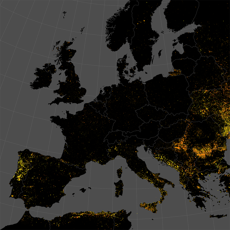
Burnt Area NRT Incremental Product - Sentinel-3 - Europe, Daily
The product is automatically derived from Sentinel-3 (OLCI) satellite imagery in near-real time. It is an incremental product, meaning that the retrieved results are updated as soon as new input data becomes available over a timespan of ten days. Besides the fire perimeter, and detection time each feature contains information about the severity of the burning.
Simple
- Date (Creation)
- 2022-04-01T00:00:00
- Citation identifier
- https://geoservice.dlr.de/catalogue/srv/metadata/eb025c23-373f-43ac-b365-25d9ffd6f54c
- Presentation form
- Digital map
- Purpose
-
This dataset contains the quality enhanced burnt areas (detected using Sentinel-3 imagery) for Europe, combined for single days.
- Status
- ongoing
- Maintenance and update frequency
- Daily
- Keywords
-
-
Burnt Area
-
Sentinel-3
-
Europe
-
Near-Realtime
-
Burn Severity
-
time-series
-
daily
-
inspireidentifiziert
-
-
GEMET - INSPIRE themes, version 1.0
-
-
Natural risk zones
-
- Use limitation
-
Nutzungseinschränkungen: Das DLR ist nicht haftbar für Schäden, die sich aus der Nutzung ergeben. / Use Limitations: DLR not liable for damage resulting from use.
- Access constraints
- Other restrictions
- Other constraints
- no limitations to public access
- Use constraints
- Other restrictions
- Other constraints
-
terms of use: https://creativecommons.org/licenses/by-nc/4.0/
- Other constraints
-
{"id": "cc-by-nc/4.0",
"name": "Creative Commons Namensnennung – 4.0 NonCommercial 4.0 International (CC BY-NC 4.0)",
"url": " https://creativecommons.org/licenses/by-nc/4.0/ ",
"quelle": "Copyright DLR (year)"}
- Spatial representation type
- Vector
- Denominator
- 600000
- Language
- English
- Character set
- UTF8
))
- Begin date
- 2016-04-01
- Unique resource identifier
- EPSG:3035
- Topology level
- Geometry only
- Geometric object type
- Surface
- Distribution format
-
-
GeoPackage
()
-
GeoPackage
()
- OnLine resource
-
BURNTAREA_S3_EFR_P1D
(
OGC:WMS
)
WMS Access: Burnt Areas Europe Daily
- OnLine resource
- https://geoservice.dlr.de/eoc/demo/wms?SERVICE=WMS%26REQUEST=GetCapabilities ( OGC:WMS-http-get-capabilities )
- OnLine resource
- EOC Geoservice map context ( WWW:LINK-1.0-http--link )
- OnLine resource
- ZKI Fire Monitoring System ( WWW:LINK-1.0-http--link )
- OnLine resource
- UKIS Data Tutorials - Burnt Area Products ( WWW:LINK-1.0-http--link )
- OnLine resource
- Burnt Areas - EOC News ( WWW:LINK-1.0-http--link )
- Hierarchy level
- Series
Domain consistency
- Measure identification
- INSPIRE / Conformity_001
Conformance result
- Date (Publication)
- 2010-12-08
- Explanation
-
See the referenced specification
- Pass
- Yes
- Statement
-
The product is based on mid resolution, optical data from the Sentinel-3 A/B OLCI sensor level 1 NRT product. It utilizes information from the red and near-infrared domain, in combination with thermal anomaly data from the MODIS and VIIRS sensors
- Description
-
Burnt Area Daily NRT Processing:
Processing:
The burnt area segmentation method is based on the morphological snakes algorithm in combination with a region growing approach. A differential NDVI mosaic is used as the basis for the segmentation.
The methodology is described here: https://www.mdpi.com/2072-4292/12/13/2162/html .
An application of the methodology is found here: https://www.mdpi.com/2072-4292/13/24/4975/html
Quality Assurance:
The product has been thoroughly tested against reference datasets provided by NASA, ESA and the Joint Research Center of the European Union
(JRC). The results of the inter-comparison can be found in the following publication:
Michael Nolde, Simon Plank, Torsten Riedlinger. (2020, July 6). An Adaptive and Extensible System for Satellite-Based, Large Scale Burnt Area
Monitoring in Near-Real Time. Remote Sens. 2020, 12, 2162. https://doi.org/10.3390/rs1213216 2
- File identifier
- eb025c23-373f-43ac-b365-25d9ffd6f54c XML
- Metadata language
- English
- Character set
- UTF8
- Hierarchy level
- Series
- Hierarchy level name
-
Dataseries
- Date stamp
- 2025-07-22T06:56:58
- Metadata standard name
-
ISO 19115-1:2014/19139
- Metadata standard version
-
2003/Cor.1:2006
Overviews
Spatial extent
Provided by
