 My GeoNetwork catalogue
European
Provided by
Type of resources
Available actions
Topics
Keywords
Contact for the resource
Update frequencies
Service types
-
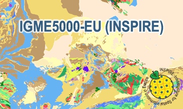
The IGME5000-EU (INSPIRE) represents the pre-quaternary bedrock geology (onshore and offshore) of the European map on a scale of 1:5,000,000. According to the Data Specification on Geology (D2.8.II.4_v3.0) the geological map provides INSPIRE-compliant data. The WMS IGME5000-EU contains layers of the geologic units (GE.GeologicUnit) and faults (GE.GeologicFault) mostly displayed according to the INSPIRE portrayal rules. The geologic units are represented graphically by stratigraphy (GE.GeologicUnit.AgeOfRocks) and lithology (GE.GeologicUnit.Lithology). For different geochronologic minimum and maximum ages, e.g. Ordovician - Silurian, the portrayal is defined by the color of the geochronologic minimum age (olderNamedAge). The portrayal of the lithology is defined by the first named rock or rock group. In case of the geologic units the user obtains detailed information via the getFeatureInfo request on the lithology and stratigraphy (age).
-
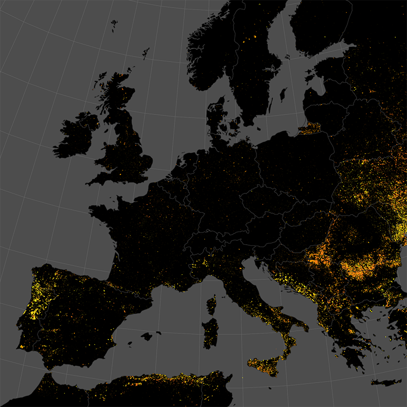
The product is automatically derived from Sentinel-3 (OLCI) satellite imagery in near-real time. It is an incremental product, meaning that the retrieved results are updated as soon as new input data becomes available over a timespan of ten days. Besides the fire perimeter, and detection time each feature contains information about the severity of the burning.
-
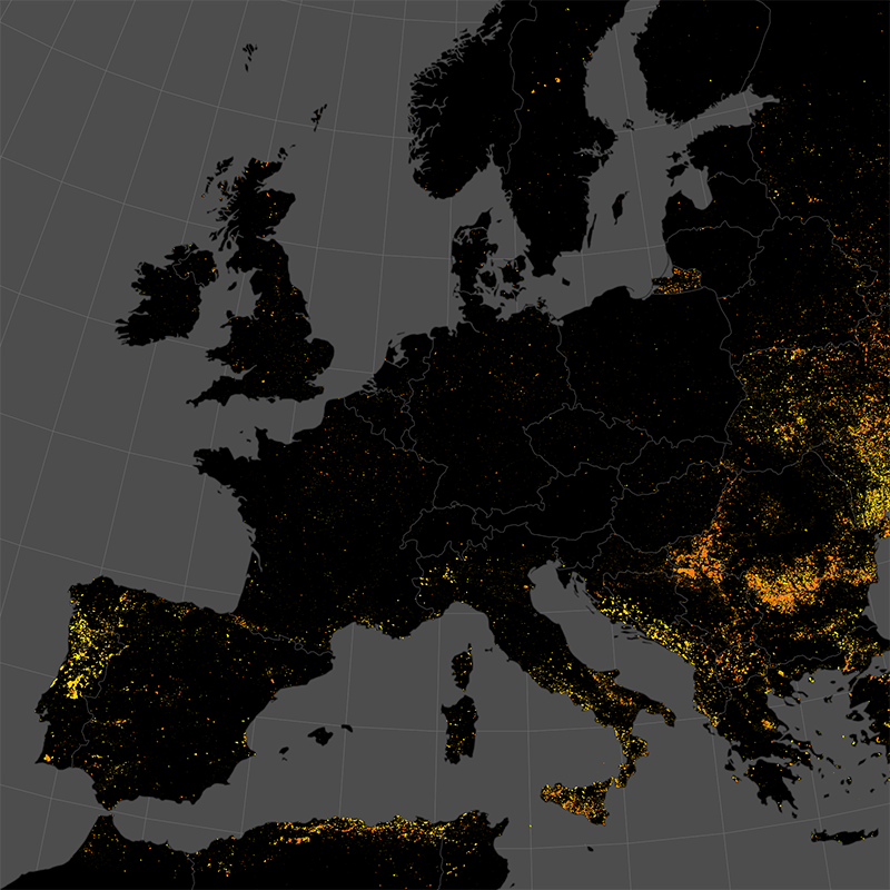
This data set represents the monthly, accumulated results of the final (10-day) version of the fire perimeters from the "Burnt Area Daily NRT Incremental Product - Europe, Sentinel-3" dataset. The burn perimeters are spatially and temporally correlated, so that interrelated detections from consecutive observations are combined into a single feature. A perimeter is interpreted as belonging to a given event if a spatial overlap exists within a time frame of 15 days. Besides the geometry, attribute information is also combined while considering the size of the perimeter as a weighting factor. Each feature contains information about the final fire perimeter, Date/Time of the first detection, and the averaged burn severity.
-
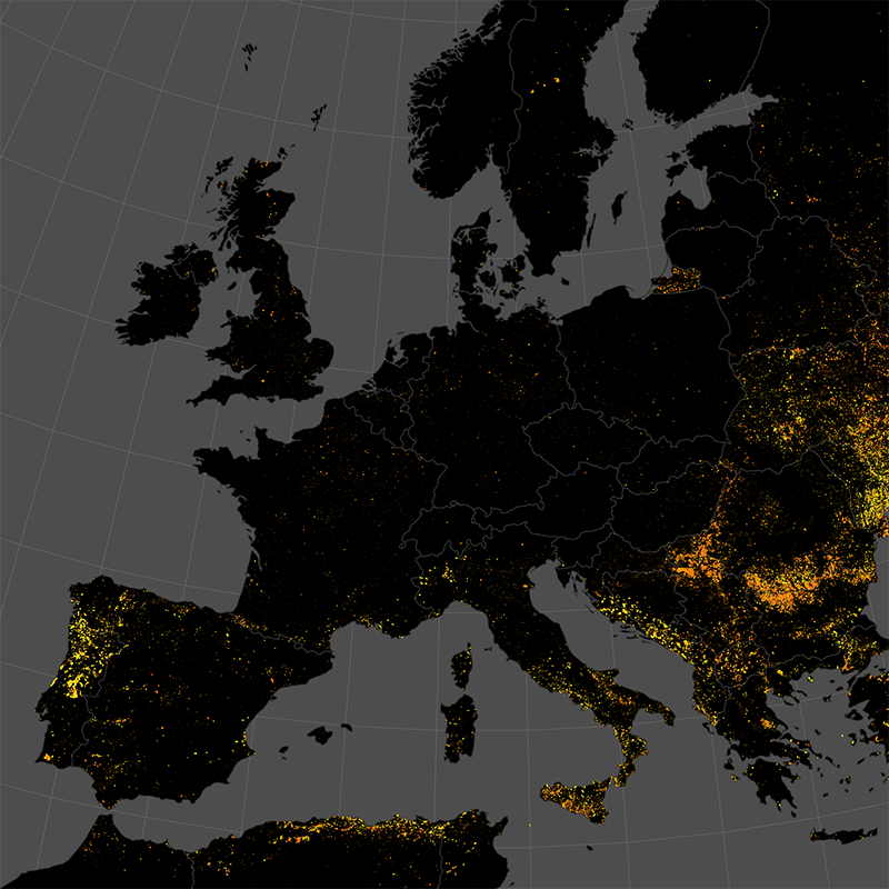
The product is automatically derived from Aqua/Terra (MODIS) satellite imagery in near-real time. It is an incremental product, meaning that the retrieved results are updated as soon as new input data becomes available over a timespan of ten days. Besides the fire perimeter and detection time, each feature contains information about the severity of the burning.
-
The IGME5000-EU (INSPIRE) represents the pre-quaternary bedrock geology (onshore and offshore) of the European map on a scale of 1:5,000,000. According to the Data Specification on Geology (D2.8.II.4_v3.0) the content of the geological map is stored in two INSPIRE-compliant GML files: IGME5000-EU_GeologicUnit.gml contains the geologic units and IGME5000-EU_GeologicStructure.gml comprises the faults. The GML files together with a Readme.txt file are provided in ZIP format (IGME5000-EU-INSPIRE.zip). The Readme.text file (German/English) contains detailed information on the GML files content. Data transformation was proceeded by using the INSPIRE Solution Pack for FME according to the INSPIRE requirements.
-

This data set represents the yearly, accumulated results of the final (10-day) version of the fire perimeters from the "Burnt Area Daily NRT Incremental Product - Europe, Sentinel-3" dataset. The burn perimeters are spatially and temporally correlated, so that interrelated detections from consecutive observations are combined into a single feature. A perimeter is interpreted as belonging to a given event if a spatial overlap exists within a time frame of 15 days. Besides the geometry, attribute information is also combined while considering the size of the perimeter as a weighting factor. Each feature contains information about the final fire perimeter, Date/Time of the first detection, and the averaged burn severity
-

This dataset provides monthly maximum Land Surface Temperature (LST) values over Europe, derived from 1-km AVHRR observations. The data is generated by DLR and provided in the framework of the TIMELINE project. LST values are retrieved using physically-based split- and mono-window algorithms and corrected for atmospheric influences and surface emissivity. Only cloud-free observations with sensor view angles below 50 degrees are used. Due to reliance on infrared observations, data may be limited under persistent cloud cover. To ensure temporal consistency across sensors and overpass times, an orbit drift correction method was applied. This method harmonizes LST values to a fixed reference time of 13:00 local solar time, approximating the daily maximum temperature. The dataset is gridded in a 1-km LAEA ETRS89 projection. The product is provided in four tiles, covering the extent of the European Environmental Agency (EEA) reference grid, which includes the area from 900 000 m East and 900 000m North to 7 400 000m East and 5 500 000m North. The TIMELINE (TIMe Series Processing of Medium Resolution Earth Observation Data assessing Long-Term Dynamics In our Natural Environment) project, led by the German Remote Sensing Data Center (DFD) of the German Aerospace Center (DLR), focuses on generating a consistent, multi-decadal time series derived from NOAA and Metop AVHRR data. Spanning more than 40 years from the early 1980s to the present this dataset covers Europe and North Africa. TIMELINE establishes an operational environment for the systematic reprocessing of AVHRR raw data into Level 1b, Level 2, and Level 3 geoinformation products at 1.1 km spatial resolution. These products maintain uniform standards in format, projection, and spatial coverage. The dataset includes a comprehensive suite of land and atmospheric parameters such as atmospherically corrected surface reflectance, NDVI, snow cover, fire hotspots, burnt area, land and sea surface temperatures, and various cloud physical properties (e.g., cloud top temperature). By combining traditional and innovative remote sensing products with robust processing algorithms and state-of-the-art validation techniques, TIMELINE provides a unique, high-quality dataset for global change research.
-

The SoilSuite contains a collection of different image data products that provide information about the spectral and statistical properties of European soils and other bare surfaces such as rocks. It is created using DLR's Soil Composite Mapping Processor (ScMAP), which utilises the Sentinel-2 data archive. SCMaP is a specialised processing chain for detecting and analysing bare soils/surfaces on a large (continental) scale. Bare surface and soil pixels are selected using a combined NDVI and NBR index (PVIR2) that optimises the exclusion of photosynthetically active and non-active vegetation. The index is calculated and applied for each individual pixel. All SoilSuite products are calculated based on the available Sentinel-2 scenes recorded between January 2018 and December 2022 in Europe. The data package excludes all scenes with a cloud cover of > 80 % and a sun elevation of < 20°. The spectral composite products are calculated from the mean value after extensive removal of clouds, haze and snow effects at both scene and pixel level. The spectral data products are available at a pixel size of 20 m and contain 10 Sentinel-2 bands (B02, B03, B04, B05, B06, B07, B08, B08a, B11, B12). The SoilSuite comprises: (a) “Bare Surface Reflectance Composite – Mean” that provides the spectral properties of soils that vary due to different soil organic carbon (SOC) content, soil moisture and soil minerology. This product is often used for spectral and digital soil mapping approaches, (b) “Bare Surface Reflectance Composite - Standard deviation” informing about the spectral dynamic of bare surfaces and soils, (c) “Bare Surface Reflectance Composite – 95% Confidence” contains information about the reliability of the spectral information due to the number of valid observations per pixel, (d) “Bare Surface Statistics Product” provides the number of bare soil occurrences over the total number of valid observations (Band 1), the number of bare soil occurrences (Band 2) and the total number of valid observations (Band 3), (e) “Mask” is a product that aggregates simple landcover classes that occur during the time period between 2018 - 2022 (Sentinel-2). The three-class Mask contains bare surface occurrences (1), permanent vegetation (2) and other surfaces such as water bodies, urban areas, roads (3). Additionally, the SoilSuite provides (f) “Reflectance Composite – Mean” that represents the mean reflectance of all valid Sentinel-2 observations between 2018 – 2022 including vegetation, bare and other surfaces, and (g) “Reflectance Composite – Standard deviation”, which contains the standard deviation per band for all valid Sentinel-2 observations between 2018 – 2022.
-

This dataset is a subset from the regional reanalysis COSMO-REA6, which is based on COSMO-EU model version 4.25. The calculations were performed within the HErZ project at University of Bonn (up to 2014) and extended afterwards by DWD until the dataset was finished in August 2019.