 My GeoNetwork catalogue
inlandWaters
Provided by
Type of resources
Available actions
Topics
Keywords
Contact for the resource
Update frequencies
-
This dataset contains all data, which have been used to write the linked paper. In addition, it contains all Python scripts used for the evaluation of the data.
-
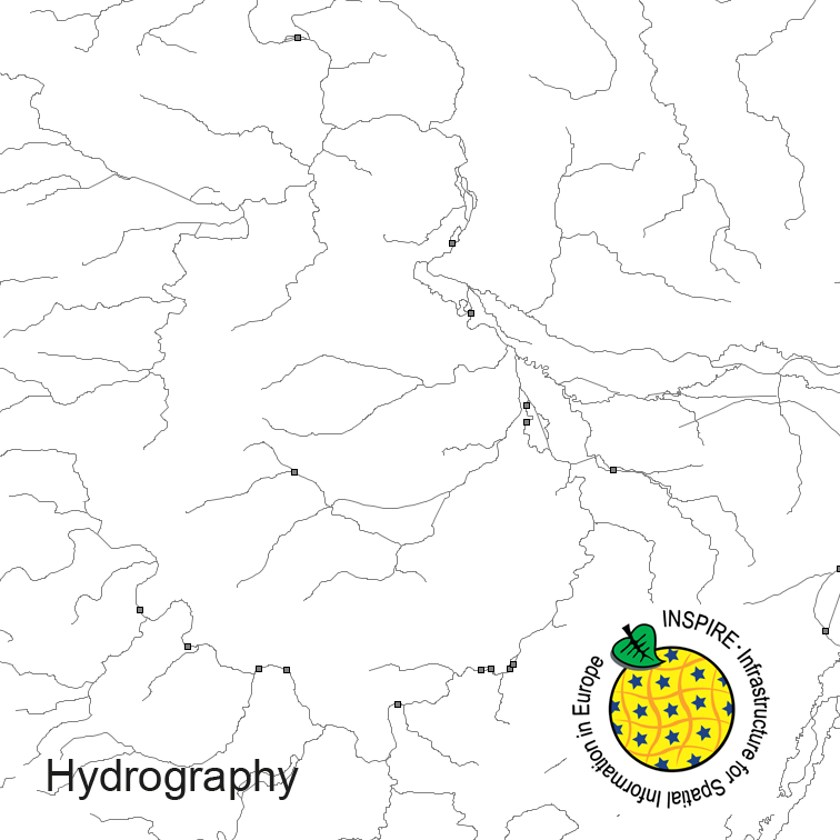
Hydrography of Germany, derived from the german digital landscape model at scale 1:250000. Mapped via EuroRegionalMap to satisfy INSPIRE and European Location Framework conformance. The dataset contains the hydrographic network and physical waters and is available as Open Data.
-
This dataset contains all data, which have been used to write the linked paper. In addition, it contains all Python scripts used for the evaluation of the data. It should be noted that the Python module pynocular is used within the scripts. This module is not yet published, but it is planned for release via https://github.com/baw-de.
-

The GEMStat Dashboard visualizes the water quality of global water bodies on different spatial and temporal scales, based on data from the GEMStat Database . Available data includes the parameters dissolved oxygen, nitrogen, phosphorus and pH, all core parameters of the UN SDG 6.3.2 water quality indicator. The data are voluntarily provided by countries and organizations worldwide within the framework of the GEMS/Water Programme of the United Nations Environment Programme (UNEP) .
-
-
-
Objective weather types of Deutscher Wetterdienst derived from different Reanalysis and Global Climate Model simulations for the control run (1951-2000) and the projection period (2000-2100). On the one hand, the dataset is useful for evaluation of representative circulation statistics in Central Europe, on the other hand, for the analysis of future weather types due to climate change. Added temperature and precipitation data allow to study the weather type effectiveness for these important climate parameters.
-
The maps and data sets summarise climate change information resulting from an ensemble of 14 selected regional climate simulations (mainly based on EU-ENSEMBLES) for periods 2021 to 2050 and 2071 to 2100. The information are expressed as change of air temperature and precipitation with respect to the simulated present (1971-2000) averaged over meteorological seasons and 50km grid boxes. Based on the ensemble a high, central and low estimate of the possible future development is given.
-
This dataset provides a set of input data for each test case, as well as for the river engineering application used in Martin Utz's dissertation. The corresponding simulation results are also provided. Together with the settings described in the thesis and the software (https://git.iws.uni-stuttgart.de/dumux-pub/Utz2025b), this allows the simulations discussed in the dissertation to be reproduced.
-

The GEMStat Data Portal provides access to freshwater quality data and statistical vizualisations at different spatial scales. The data are voluntarily provided by countries and organizations worldwide within the framework of the GEMS/Water Programme of the United Nations Environment Programme (UNEP) .