 My GeoNetwork catalogue
Topic
transportation
Provided by
Type of resources
Available actions
Topics
Keywords
Contact for the resource
Update frequencies
From
1
-
10
/
2409
-

-

-

-

This object detection dataset is intended to support the development of AI-based applications. For this purpose, image data is provided that was captured on various ships in the Baltic Sea, the German Bight, Dutch waters and the English Channel using RGB and infrared cameras. The dataset distinguishes between five object classes based on COLREG. DOI: https://doi.bsh.de/10.60751/z1w9-t249
-

-
-

-

-
-
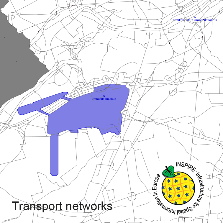
Transport Networks of Germany, derived from the german digital landscape model at scale 1:250000. Mapped via EuroRegionalMap to satisfy INSPIRE and European Location Framework conformance. The dataset contains the road, railway, water and air network and is available as Open Data.