 My GeoNetwork catalogue
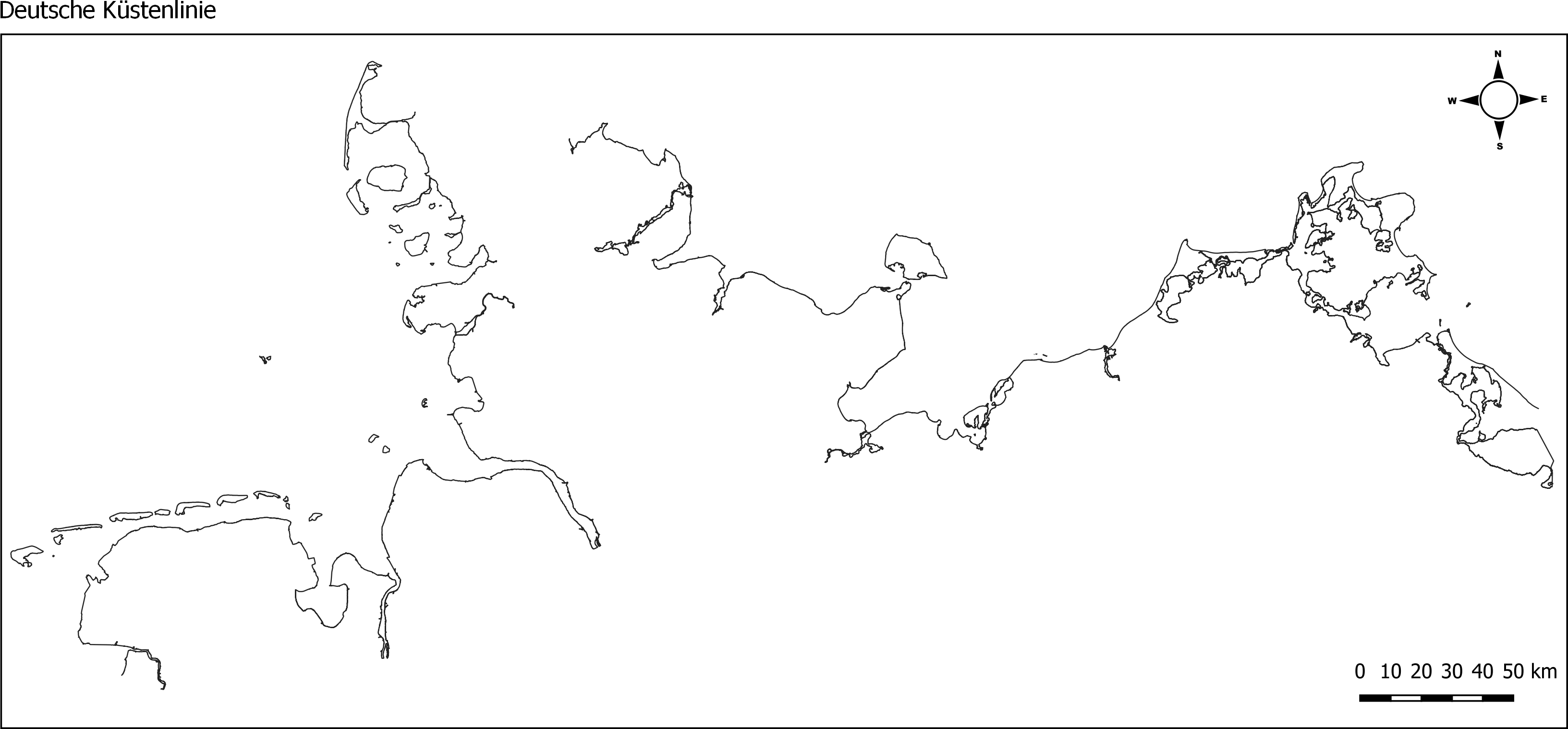
Küstenlinie Nord- und Ostsee für WRRL/MSRL von 2017/2018 (WMS)
Web Feature Service (WFS) vom Geoserver der Marinen Dateninfrastruktur Deutschland (MDI-DE), der die Küstenlinie der Nord- und Ostsee in Form von Layern für die MDI-DE publiziert. Der Dienst stellt Shapefiles der Küstenlinien für die Nordsee (ANS-DE) und die Ostsee (BAL-DE) aus den abgestimmten und an die EU gemeldeten Berichtsgeometrien für die gesamte deutsche Küste bereit. Hierfür wurden Shapes der MSRL und der WRRL (Küsten- und Übergangsgewässer) genutzt. Die Daten wurden im Dezember 2017 (Ostsee) / bzw. im Januar 2018 (Nordsee) erstellt.
INSPIRE
Identification
- File identifier
- 086A0FDE-C38B-47A8-A733-76DD9675C2A9 XML
- Hierarchy level
- Service
Online resource
Resource identifier
Encoding
- Format
-
Shapefiles
- Version
-
1.0
Projection
Classification of data and services
- Service Type
- view
- Coupling Type
- Tight
Coupled resource
Coupled resource
Classification of data and services
- Service Type
- view
- Coupling Type
- Tight
Coupled resource
Coupled resource
Keywords
-
GEMET - INSPIRE themes, version 1.0
-
-
Verwaltungseinheiten
-
-
Service Classification, version 1.0
-
-
infoCatalogueService
-
Other keywords
- Keywords
-
-
humanInteractionService
-
coastline
-
Küstenlinine
-
Baltic Sea
-
North Sea
-
German Bight
-
Küste
-
MDI-DE_Basisdaten
-
- Keywords
-
-
inspireidentifiziert
-
- Keywords
-
-
opendata
-
- Theme
-
-
ENVI
-
- Keywords
-
-
Deutsche Bucht
-
Nordsee
-
Ostsee
-
Geographic coverage
))
))
))
Temporal reference
Temporal extent
Temporal extent
- Date (Creation)
- 2017-12-21T00:00:00.000+01:00
- Date (Creation)
- 2018-01-03T00:00:00.000+01:00
- Date (Publication)
- 2018-01-03T00:00:00.000+01:00
Conformity
Conformity
Conformity
Conformity
Conformity
Conformity
- Explanation
-
keine Angaben
- Explanation
-
see the referenced specification
Restrictions on access and use
- Access constraints
-
Datenlizenz Deutschland Namensnennung 2.0
- Access constraints
-
Quellenvermerk: Marine Dateninfrastruktur <Jahr des Datenbezugs>
- Access constraints
-
{"id":"dl-by-de/2.0","name":"Datenlizenz Deutschland Namensnennung 2.0","url":" https://www.govdata.de/dl-de/by-2-0","quelle":"Marine Dateninfrastruktur <Jahr des Datenbezugs>"}
- Access constraints
- Es gelten keine Zugriffsbeschränkungen
Responsible organization (s)
Contact for the resource
- Organisation name
-
Landesamt für Umwelt Schleswig-Holstein (LfU)
- Organisation name
-
Marine Dateninfrastruktur Deutschland (MDI-DE)
- Organisation name
-
Marine Dateninfrastruktur Deutschland (MDI-DE)
Responsible organization (s)
Contact for the resource
- Organisation name
-
Landesamt für Umwelt Schleswig-Holstein (LfU)
- Organisation name
-
Marine Dateninfrastruktur Deutschland (MDI-DE)
- Organisation name
-
Marine Dateninfrastruktur Deutschland (MDI-DE)
Metadata information
Contact for the metadata
- Organisation name
-
Marine Dateninfrastruktur Deutschland (MDI-DE)
- Date stamp
- 2025-05-16
- Metadata language
- Deutsch
SDS
Conformance class 1: invocable
- Pass
- Yes
- Pass
- Yes
Access Point URL
Endpoint URL
Technical specification
- Date
- Explanation
-
keine Angaben
- Date
- Explanation
-
see the referenced specification
Conformance class 2: interoperable
Access constraints
- Access constraints
- Other restrictions
- Other constraints
- Es gelten keine Zugriffsbeschränkungen
Limitation
Use constraints
Limitation
- string
-
Datenlizenz Deutschland Namensnennung 2.0
- string
-
Quellenvermerk: Marine Dateninfrastruktur <Jahr des Datenbezugs>
- string
-
{"id":"dl-by-de/2.0","name":"Datenlizenz Deutschland Namensnennung 2.0","url":" https://www.govdata.de/dl-de/by-2-0","quelle":"Marine Dateninfrastruktur <Jahr des Datenbezugs>"}
Responsible custodian
Contact for the resource
Conformance class 3: harmonized
Contains Operations
- Operation Name
-
GetCapabilities
- Distributed Computing Platforms
- HTTPGet
Overviews
Spatial extent
Provided by
