 My GeoNetwork catalogue
INSPIRE-WMS Digital Landscape Model 1:250 000
This service provides from ATKIS DLM250 transformed datasets for the INSPIRE themes Transport Networks, Hydrography (Networks and Physical Water), Administrative Units and Protected Sites. The data provided through this service covers the area of Germany.
INSPIRE
Identification
- File identifier
- 1BEDB0B2-74F8-4FA2-8812-D4CC3AA2641B XML
- Hierarchy level
- Service
Online resource
- Protocol
- OGC Web Map Service
Resource identifier
Encoding
- Format
-
GML
- Version
-
3.2
Projection
Classification of data and services
- Service Type
- view
- Coupling Type
- Tight
Coupled resource
Coupled resource
Classification of data and services
- Service Type
- view
- Coupling Type
- Tight
Coupled resource
Coupled resource
Keywords
-
GEMET - INSPIRE themes, version 1.0
-
-
Transport networks
-
Hydrography
-
Administrative units
-
Protected sites
-
-
Service Classification, version 1.0
-
-
infoMapAccessService
-
-
GEMET - Concepts, version 3.1
Other keywords
- Keywords
-
-
DLM250
-
INSPIRE-WMS_Schutzgebiete_ATKIS_DLM250
-
BKG
-
ATKIS
-
INSPIRE-WMS_Hydro-Physische_Gewaesser_ATKIS_DLM250
-
INSPIRE-WMS_Verkehrsnetze_ATKIS_DLM250
-
Amtliches Topographisch-Kartographisches Informationssystem
-
INSPIRE-WMS_Verwaltungseinheiten_ATKIS_DLM250
-
Transport Networks
-
Digitales Landschaftsmodell 250
-
INSPIRE-WMS_Hydro-Netzwerk_ATKIS_DLM250
-
Germany
-
Hydro - Physical Waters
-
Hydro - Network
-
Digitale Landschaftsmodelle
-
- Keywords
-
-
AdVMIS
-
- Keywords
-
-
inspireidentifiziert
-
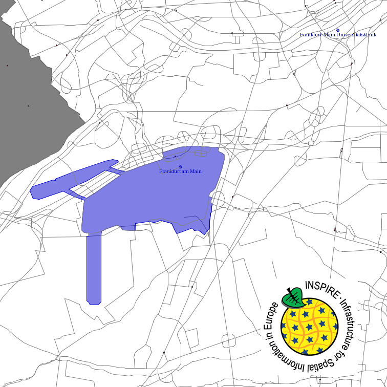
Geographic coverage
))
Temporal reference
Temporal extent
Temporal extent
- Date (Creation)
- 2017-09-26T00:00:00.000+02:00
Conformity
Conformity
Conformity
Conformity
Conformity
Conformity
- Explanation
-
see the referenced specification
Restrictions on access and use
- Access constraints
-
Quellenvermerk: © GeoBasis-DE / BKG <year of last data download>
- Access constraints
- no limitations to public access
Responsible organization (s)
Contact for the resource
- Organisation name
-
Federal Agency for Cartography and Geodesy
- Organisation name
-
Federal Agency for Cartography and Geodesy
Responsible organization (s)
Contact for the resource
- Organisation name
-
Federal Agency for Cartography and Geodesy
- Organisation name
-
Federal Agency for Cartography and Geodesy
Metadata information
Contact for the metadata
- Organisation name
-
Federal Agency for Cartography and Geodesy
- Date stamp
- 2026-03-23
- Metadata language
- English
SDS
Conformance class 1: invocable
- Pass
- Yes
Access Point URL
Endpoint URL
Technical specification
- Date
- Explanation
-
see the referenced specification
Conformance class 2: interoperable
Access constraints
- Access constraints
- Other restrictions
- Other constraints
- no limitations to public access
Limitation
Use constraints
- Use constraints
- Other restrictions
- Other constraints
-
Quellenvermerk: © GeoBasis-DE / BKG <year of last data download>
Limitation
- string
-
Quellenvermerk: © GeoBasis-DE / BKG <year of last data download>
Responsible custodian
Contact for the resource
Conformance class 3: harmonized
Contains Operations
- Operation Name
-
GetCapabilities
- Distributed Computing Platforms
- Web services
- Connect Point
- https://sg.geodatenzentrum.de/wms_dlm250_inspire?
Contains Operations
- Operation Name
-
GetMap
- Distributed Computing Platforms
- Web services
- Connect Point
- https://sg.geodatenzentrum.de/wms_dlm250_inspire?
Contains Operations
- Operation Name
-
GetFeatureInfo
- Distributed Computing Platforms
- Web services
- Connect Point
- https://sg.geodatenzentrum.de/wms_dlm250_inspire?
Overviews
Spatial extent
Provided by
