 My GeoNetwork catalogue
WFS Digitales Landschaftsmodell 1:1 000 000
Dies ist ein Downloaddienst des Digitalen Landschaftsmodell 1:1 000 000 für das Gebiet der Bundesrepublik Deutschland. Das Digitale Landschaftsmodell 1:1 000 000 (DLM1000) beschreibt die topographischen Objekte der Landschaft und das Relief der Erdoberfläche im Vektorformat. Die Objekte werden einer bestimmten Objektart zugeordnet und durch ihre räumliche Lage, ihren geometrischen Typ, beschreibende Attribute und Beziehungen zu anderen Objekten (Relationen) definiert. Der Datenbestand umfasst Objektarten, wie z.B. Straßen, Eisenbahnen, Gewässer, Siedlungen, Vegetation und Verwaltungsgrenzen (bis zur Kreisebene) Ebenso wird das Relief durch Höhenlinien und weiteren Oberflächenformen dargestellt. Welche Objektarten das DLM1000 im Detail beinhaltet und wie die Objekte gebildet werden, ist im ATKIS®-Objektartenkatalog (ATKIS®-OK1000) festgelegt. Das Digitale Landschaftsmodell 1:1 000 000 (DLM1000) liegt erstmalig im AFIS-ALKIS-ATKIS Anwendungsschema Version 7.1.2 vor. Maßstab: 1:1000000; Bodenauflösung: nullm; Scanauflösung (DPI): null
Simple
Identification info
- Alternate title
-
Digitale Landschaftsmodelle
- Alternate title
-
wfs_dlm1000
- Date (Publication)
- 2009-09-09T00:00:00.000+02:00
- Status
- On going
+49 69 6333-251
https://www.bkg.bund.de
+49 69 6333-235
https://www.bkg.bund.de
- Maintenance and update frequency
- Annually
- Update scope
- Service
-
Service Classification, version 1.0
-
-
infoFeatureAccessService
-
- Keywords
-
-
Verkehrswesen
-
Ortsangaben
-
Grenzen
-
WFS
-
DownloadService
-
BKG
-
DLM1000
-
Digitales Landschaftsmodell 1:1 000 000
-
Deutschland
-
Bundesamt für Kartographie und Geodäsie
-
infoFeatureAccessService
-
- Keywords
-
-
AdVMIS
-
-
GEMET - Concepts, version 3.1
- Use constraints
- Other restrictions
- Other constraints
-
Quellenvermerk: © GeoBasis-DE / BKG (Jahr des letzten Datenbezugs) dl-de/by-2-0
- Access constraints
- Other restrictions
- Other constraints
- Es gelten keine Zugriffsbeschränkungen
- Service Type
- download
- Service Version
-
OGC:WFS 2.0
- Service Version
-
OGC:WFS 1.1.0
- Extent type code
- Yes
- Geographic identifier
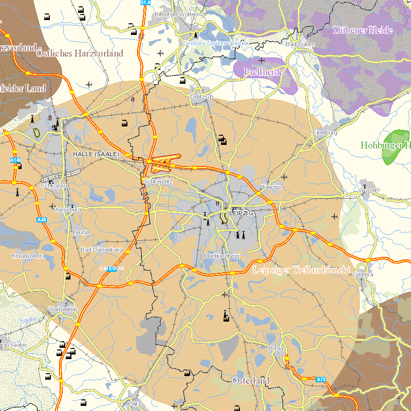
- Raumbezug des Datensatzes
))
- Coupling Type
- Tight
Contains Operations
- Operation Name
-
GetCapabilities
- Distributed Computing Platforms
- Web services
- Connect Point
- https://sgx.geodatenzentrum.de/wfs_dlm1000?
Contains Operations
- Operation Name
-
DescribeFeatureType
- Distributed Computing Platforms
- Web services
- Connect Point
- https://sgx.geodatenzentrum.de/wfs_dlm1000?
Contains Operations
- Operation Name
-
GetFeature
- Distributed Computing Platforms
- Web services
- Connect Point
- https://sgx.geodatenzentrum.de/wfs_dlm1000?
- Operates On
- Unique resource identifier
- EPSG 25832: ETRS89 / UTM Zone 32N
- Unique resource identifier
- EPSG 4326: WGS 84 / geographisch
- Unique resource identifier
- EPSG 4258: ETRS89 / geographisch
- Unique resource identifier
- EPSG 3034: ETRS89 / LCC Europa
- Unique resource identifier
- EPSG 3035: ETRS89 / LAEA Europa
- Unique resource identifier
- EPSG 3044: ETRS89 / UTM Zone 32N (N-E)
- Unique resource identifier
- EPSG 3045: ETRS89 / UTM Zone 33N (N-E)
- Unique resource identifier
- EPSG 25833: ETRS89 / UTM Zone 33N
- Unique resource identifier
- EPSG 4647: ETRS89 / UTM Zone 32N (zE-N)
- Unique resource identifier
- EPSG 5650: ETRS89 / UTM Zone 33N (zE-N)
- Unique resource identifier
- EPSG 31466: DHDN / Gauss-Krüger Zone 2
- Unique resource identifier
- EPSG 31467: DHDN / Gauss-Krüger Zone 3
- Unique resource identifier
- EPSG 31468: DHDN / Gauss-Krüger Zone 4
- Unique resource identifier
- EPSG 31469: DHDN / Gauss-Krüger Zone 5
- Unique resource identifier
- EPSG 5676: DHDN / Gauss-Krüger Zone 2 (E-N)
- Unique resource identifier
- EPSG 5677: DHDN / Gauss-Krüger Zone 3 (E-N)
- Unique resource identifier
- EPSG 5678: DHDN / Gauss-Krüger Zone 4 (E-N)
- Unique resource identifier
- EPSG 5679: DHDN / Gauss-Krüger Zone 5 (E-N)
- Distribution format
-
-
XML
()
-
GML
(
3.1.1
)
-
XML
()
Distributor
- Ordering instructions
-
Wollen Sie Hinweise erhalten und informiert werden über Veränderungen bei der Nutzung der durch uns angebotenen offenen Dienste? Dann abonnieren Sie bitte unseren kostenlosen Informationsdienst ( http://www.geodatenzentrum.de/geodaten/gdz?l=infodienst ).
- OnLine resource
- Dokumentation
- OnLine resource
- Geodatenzentrum
- OnLine resource
- Dienst "WFS Digitales Landschaftsmodell 1:1 000 000" (GetCapabilities) ( OGC Web Feature Service )
- Hierarchy level
- Service
- Other
-
service
Conformance result
- Date (Publication)
- 2005-05-03
- Explanation
-
see the referenced specification
- Pass
- Yes
- File identifier
- 1fb6f2f3-e01e-4f4d-b6cd-3e099281f05e XML
- Metadata language
- Deutsch
- Character set
- UTF8
- Hierarchy level
- Service
- Hierarchy level name
-
service
- Date stamp
- 2026-05-05
- Metadata standard name
-
ISO19119
- Metadata standard version
-
2005/PDAM 1
Overviews
Spatial extent
Provided by
