 My GeoNetwork catalogue
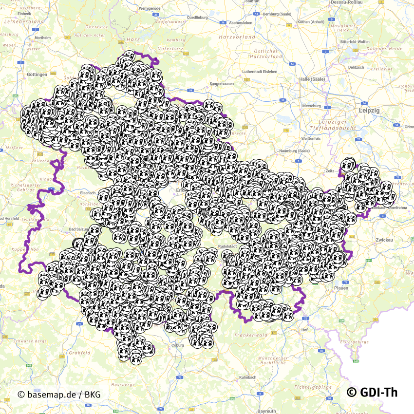
Spielplätze Thüringen
Zusammenfassung der in der GDI-Th veröffentlichten Spielplätze in Thüringen. Die originären Daten werden von der jeweiligen kommunalen Behörde (kreisfreie Städte, Gemeinden, Verwaltungsgemeinschaften etc.) gepflegt.
INSPIRE
Identification
- File identifier
- 23b8980c-cb14-4483-949c-bca0894d5877 XML
- Hierarchy level
- Dataset
Online resource
- Protocol
-
OGC:WMS-http-get-map
- Protocol
-
OGC:WFS-http-get-capabilities
Resource identifier
- Metadata language
- Deutsch
- Spatial representation type
- Vector
Encoding
Projection
Classification of data and services
- Topic category
-
- Society
Classification of data and services
Coupled resource
Coupled resource
Classification of data and services
Coupled resource
Coupled resource
Keywords
-
GEMET - INSPIRE themes, version 1.0
-
-
Bodennutzung
-
Other keywords
- Keywords
-
-
Spielplatz
-
Thüringen
-
Kinder
-
Stadtplan
-
Geographic coverage
))
Temporal reference
Temporal extent
Temporal extent
- Date (Creation)
- 2020-06-18
- Date (Revision)
- 2025-02-26
Quality and validity
- Lineage
-
Die Geodaten sind Eigentum der jeweiligen kommunalen Ebene
- Denominator
- 750000
Conformity
Conformity
Conformity
Conformity
Conformity
Conformity
- Explanation
-
Originäre Daten
- Explanation
-
Originäre Daten
Restrictions on access and use
- Access constraints
-
Nutzungsbedingungen: Dieser Datensatz ist Eigentum der jeweiligen kommunalen Ebene. Es gelten die Nutzungsbedingungen der jeweiligen kommunalen Ebene.
Responsible organization (s)
Contact for the resource
- Organisation name
-
Thüringer Landesamt für Bodenmanagement und Geoinformation
Responsible organization (s)
Contact for the resource
- Organisation name
-
Thüringer Landesamt für Bodenmanagement und Geoinformation
Metadata information
Contact for the metadata
- Organisation name
-
Thüringer Landesamt für Bodenmanagement und Geoinformation
- Date stamp
- 2026-01-05T15:02:53
- Metadata language
- Deutsch
SDS
Conformance class 1: invocable
Access Point URL
Endpoint URL
Technical specification
Conformance class 2: interoperable
Access constraints
Limitation
Use constraints
Limitation
Responsible custodian
Contact for the resource
Overviews
Spatial extent
Provided by
