 My GeoNetwork catalogue
WFS Verwaltungsgebiete 1:2 500 000 - Stand 31.12.
Dieser Downloaddienst stellt die Verwaltungsgebiete 1:2 500 000 (VG2500) mit Stand 31.12. für das Gebiet der Bundesrepublik Deutschland bereit.
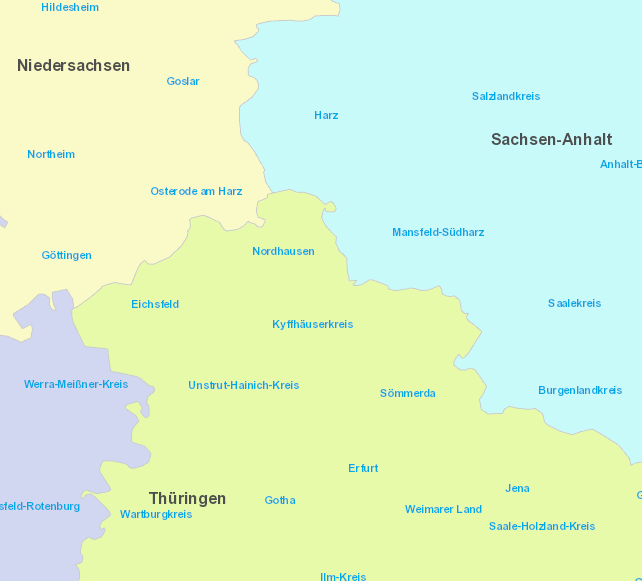
Der Datensatz der Verwaltungsgebiete (VG) umfasst die Verwaltungseinheiten aller hierarchischen Verwaltungsebenen vom Staat bis zu den Gemeinden mit den jeweiligen Verwaltungsgrenzen, statistischen Schlüsselzahlen, den Namen der Verwaltungseinheiten sowie der spezifischen Bezeichnungen der Verwaltungsebenen.
Die Daten sind ebenenweise in Staat, Länder, Regierungsbezirke und Kreise gegliedert. Darüber hinaus liegen dem Datensatz Namen der nationalen Minderheiten bzw. regionalsprachliche Namen sowie Übersichten der Verwaltungseinheiten bei.
Mit dem Stand 31.12. ist der Anschluss an die Bundesstatistik möglich. Maßstab: 1:2500000; Bodenauflösung: nullm; Scanauflösung (DPI): null
INSPIRE
Identification
- File identifier
- 2be8e479-4b8a-46ed-9908-ded10c8dfc23 XML
- Hierarchy level
- Service
Online resource
- Protocol
- OGC Web Feature Service
Resource identifier
Encoding
- Format
-
GML
Projection
Classification of data and services
- Service Type
- download
- Coupling Type
- Tight
Coupled resource
Coupled resource
Classification of data and services
- Service Type
- download
- Coupling Type
- Tight
Coupled resource
Coupled resource
Keywords
-
GEMET - INSPIRE themes, version 1.0
-
-
Verwaltungseinheiten
-
-
Service Classification, version 1.0
-
-
infoFeatureAccessService
-
-
GEMET - Concepts, version 3.1
Other keywords
- Keywords
-
-
BKG
-
Deutschland
-
Verwaltungsgebiete
-
WFS
-
DownloadService
-
infoFeatureAccessService
-
Bundesamt für Kartographie und Geodäsie
-
Verwaltungsgrenzen
-
VG2500
-
Bundesland
-
Regierungsbezirk
-
Kreisverwaltung
-
Kreis
-
Verwaltungsgemeinschaft
-
Verwaltungseinheit
-
Gebietsflächen
-
Gebiete
-
administrative Grenzen
-
Bund
-
Stand 01.01.
-
wfs_vg2500
-
WFS Verwaltungsgebiete 1:2 500 000 - Stand 01.01.
-
AvD
-
- Keywords
-
-
AdVMIS
-
Geographic coverage
))
Temporal reference
Temporal extent
Temporal extent
- Date (Creation)
- 2009-09-02T00:00:00.000+02:00
Conformity
Conformity
Conformity
Conformity
Conformity
Conformity
- Explanation
-
see the referenced specification
Restrictions on access and use
- Access constraints
-
Quellenvermerk: © BKG (Jahr des letzten Datenbezugs) dl-de/by-2-0, Datenquellen: https://sgx.geodatenzentrum.de/web_public/gdz/datenquellen/datenquellen_vg_nuts.pdf
- Access constraints
- Es gelten keine Zugriffsbeschränkungen
Responsible organization (s)
Contact for the resource
- Organisation name
-
Bundesamt für Kartographie und Geodäsie (BKG)
- Organisation name
-
Bundesamt für Kartographie und Geodäsie (BKG)
Responsible organization (s)
Contact for the resource
- Organisation name
-
Bundesamt für Kartographie und Geodäsie (BKG)
- Organisation name
-
Bundesamt für Kartographie und Geodäsie (BKG)
Metadata information
Contact for the metadata
- Organisation name
-
Bundesamt für Kartographie und Geodäsie (BKG)
- Date stamp
- 2026-05-05
- Metadata language
- Deutsch
SDS
Conformance class 1: invocable
- Pass
- Yes
Access Point URL
Endpoint URL
Technical specification
- Date
- Explanation
-
see the referenced specification
Conformance class 2: interoperable
Access constraints
- Access constraints
- Other restrictions
- Other constraints
- Es gelten keine Zugriffsbeschränkungen
Limitation
Use constraints
- Use constraints
- Other restrictions
- Other constraints
-
Quellenvermerk: © BKG (Jahr des letzten Datenbezugs) dl-de/by-2-0, Datenquellen: https://sgx.geodatenzentrum.de/web_public/gdz/datenquellen/datenquellen_vg_nuts.pdf
Limitation
- string
-
Quellenvermerk: © BKG (Jahr des letzten Datenbezugs) dl-de/by-2-0, Datenquellen: https://sgx.geodatenzentrum.de/web_public/gdz/datenquellen/datenquellen_vg_nuts.pdf
Responsible custodian
Contact for the resource
Conformance class 3: harmonized
Contains Operations
- Operation Name
-
GetCapabilities
- Distributed Computing Platforms
- Web services
- Connect Point
- https://sgx.geodatenzentrum.de/wfs_vg2500?
Contains Operations
- Operation Name
-
DescribeFeatureType
- Distributed Computing Platforms
- Web services
- Connect Point
- https://sgx.geodatenzentrum.de/wfs_vg2500?
Contains Operations
- Operation Name
-
GetFeature
- Distributed Computing Platforms
- Web services
- Connect Point
- https://sgx.geodatenzentrum.de/wfs_vg2500?
Overviews
Spatial extent
Provided by
