 My GeoNetwork catalogue
WMS Bebauungspläne in Aufstellung Kreis Kleve
Der WMS (Web Map Service) ist eine standardisierte Schnittstelle zur Bereitstellung von Kartenausschnitten im Rasterformat. An einen WMS können mit verschiedenen Operationen (siehe Abschnitt Fachinformationen) Anfragen versendet werden. Üblicherweise übernimmt dies ein Geoinformationssystem, in welches die URL des WMS eingebunden wird.
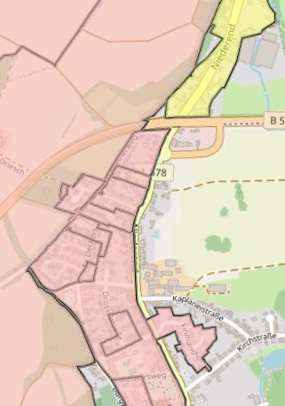
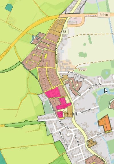
Dieser WMS-Dienst stellt auf dem Standard XPlanung alle verfügbaren Inhalte der Bebauungspläne im Planstatus "in Aufstellung" dar; entweder nur den Umring des Bebauungsplanes oder aber den komplett erfassten Inhalt des Bebauungsplanes. Die Darstellung ist angelehnt an die Planzeichenverordnung des Bundes (aus dem Jahr 1990)mit den notwendigen Ergänzungen. Dargestellt werden jeweils nur rechtskräftige Pläne. Die umfangreiche Attributierung kann mittels GetFeatureInfo abgefragt werden. Dieser Dienst wird bereitgestellt über die xPlanBox (GNU AGPLv3; Sourcecode: https://gitlab.opencode.de/diplanung/ozgxplanung ; vom Provider geänderter Sourcecode: https://gitlab.opencode.de/krzn/xplansyn-wms-workspace ).
Simple
Identification info
- Date (Publication)
- 2025-01-08T10:12:52.000+01:00
- Status
- On going
+49 2821 85-500
https://www.kreis-kleve.de
- Maintenance and update frequency
- Daily
- Update scope
- Service
-
Service Classification, version 1.0
-
-
infoMapAccessService
-
- Keywords
-
-
XPlanung
-
BPlan
-
XPlanGML 6.0
-
XPlanGML 5.4
-
XPlanGML 5.3
-
XPlanGML 5.2
-
XPlanGML 5.1
-
XPlanGML 5.0
-
WMS
-
KRZN
-
Kommunales Rechenzentrum Niederrhein
-
Kreis Kleve
-
Bedburg-Hau
-
Emmerich am Rhein
-
Emmerich
-
Geldern
-
Goch
-
Issum
-
Kalkar
-
Kerken
-
Wallfahrtsstadt Kevelaer
-
Kevelaer
-
Kranenburg
-
Kleve
-
Rees
-
Rheurdt
-
Straelen
-
Uedem
-
Wachtendonk
-
Weeze
-
NW
-
NRW
-
Nordrhein-Westfalen
-
05154
-
BPL
-
Bebauungsplan
-
Bebauungspläne
-
Ortplanungsrecht
-
Bauen
-
Satzung
-
-
Further legal basis
-
-
Baugesetzbuch (BauGB)
-
-
GEMET - Concepts, version 3.1
- Use constraints
- Other restrictions
- Other constraints
-
Datenlizenz Deutschland – Zero – Version 2.0
- Other constraints
-
{"id":"dl-zero-de/2.0","name":"Datenlizenz Deutschland – Zero – Version 2.0","url":" https://www.govdata.de/dl-de/zero-2-0","quelle":""}
- Access constraints
- Other restrictions
- Other constraints
- Es gelten keine Zugriffsbeschränkungen
- Service Type
- view
- Service Version
-
OGC:WMS 1.3.0
Extent
- Extent type code
- Yes

))
- Extent type code
- Yes
- Geographic identifier
- Kleve, Kreis (05154)
- Code
- 051540000000
Coupled Resource
- Operation Name
-
GetCapabilities
Coupled Resource
- Operation Name
-
GetMap
Coupled Resource
- Operation Name
-
GetFeatureInfo
Coupled Resource
- Operation Name
-
GetCapabilities
Coupled Resource
- Operation Name
-
GetMap
Coupled Resource
- Operation Name
-
GetFeatureInfo
- Coupling Type
- Tight
Contains Operations
- Operation Name
-
GetCapabilities
- Distributed Computing Platforms
- Web services
Contains Operations
- Operation Name
-
GetMap
- Distributed Computing Platforms
- Web services
Contains Operations
- Operation Name
-
GetFeatureInfo
- Distributed Computing Platforms
- Web services
- Unique resource identifier
- EPSG 25832: ETRS89 / UTM Zone 32N
- Unique resource identifier
- EPSG 25833: ETRS89 / UTM Zone 33N
- Unique resource identifier
- EPSG 31466: DHDN / Gauss-Krüger Zone 2
- Unique resource identifier
- EPSG 31467: DHDN / Gauss-Krüger Zone 3
- Unique resource identifier
- EPSG 31468: DHDN / Gauss-Krüger Zone 4
- Unique resource identifier
- EPSG 31469: DHDN / Gauss-Krüger Zone 5
- Unique resource identifier
- EPSG 4258: ETRS89 / geographisch
- Unique resource identifier
- EPSG 4326: WGS 84 / geographisch
- Unique resource identifier
- EPSG 4839: ETRS89 / LCC Deutschland (N-E)
- Reference system identifier
- CRS 84: CRS 84 / mathematisch
- Distribution format
-
-
XPlanGML
()
-
XPlanGML
()
- OnLine resource
- https://xplanservices.krzn.de/kleve/xplan-wms/services/bpwmspre
- OnLine resource
- WFS Bebauungspläne in Aufstellung Kreis Kleve
- OnLine resource
- Dienst "WMS Bebauungspläne in Aufstellung Kreis Kleve" (GetCapabilities) ( OGC Web Map Service )
- File identifier
- 360c8ce7-1706-4c53-b70a-428475c4e51b XML
- Metadata language
- Deutsch
- Character set
- UTF8
- Hierarchy level
- Service
- Hierarchy level name
-
service
- Date stamp
- 2026-02-24
- Metadata standard name
-
ISO19119
- Metadata standard version
-
2005/PDAM 1
Overviews
Spatial extent

Provided by
