 My GeoNetwork catalogue
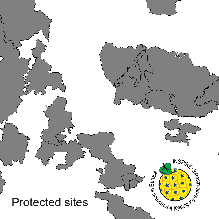
INSPIRE Protected Sites ATKIS-DLM250
Protected Sites of Germany, derived from the german digital landscape model at scale 1:250000. Mapped via EuroRegionalMap to satisfy INSPIRE and European Location Framework conformance. The dataset is available as Open Data.
INSPIRE
Identification
- File identifier
- 3F8CC55E-0C19-494E-94B8-C966D8441B70 XML
- Hierarchy level
- Dataset
Resource identifier
- Metadata language
- Deutsch
- Spatial representation type
- Vector
Encoding
- Format
-
GML
- Version
-
3.2
Projection
Classification of data and services
- Topic category
-
- Environment
Classification of data and services
Coupled resource
Coupled resource
Classification of data and services
Coupled resource
Coupled resource
Keywords
-
GEMET - INSPIRE themes, version 1.0
-
-
Protected sites
-
-
GEMET - Concepts, version 3.1
Other keywords
- Keywords
-
-
opendata
-
- Keywords
-
-
inspireidentifiziert
-
Geographic coverage
))
Temporal reference
Temporal extent
Temporal extent
- Date (Creation)
- 2017-09-06T00:00:00.000+02:00
- Date (Revision)
- 2023-07-10T00:00:00.000+02:00
Quality and validity
- Lineage
-
derived from german topographic database 1:250 000
- Denominator
- 250000
Conformity
Conformity
Conformity
Conformity
Conformity
Conformity
- Explanation
-
see the referenced specification
- Explanation
-
see the referenced specification
Restrictions on access and use
- Access constraints
-
Quellenvermerk: © GeoBasis-DE / BKG (year of last data download)
- Access constraints
-
{"id":"geoNutz/20130319","name":"Nutzungsbestimmungen für die Bereitstellung von Geodaten des Bundes","url":" https://sg.geodatenzentrum.de/web_public/gdz/lizenz/geonutzv.pdf","quelle":"© GeoBasis-DE / BKG (year of last data download)"}
- Access constraints
- no limitations to public access
Responsible organization (s)
Contact for the resource
- Organisation name
-
Federal Agency for Cartography and Geodesy
- Organisation name
-
Federal Agency for Cartography and Geodesy
Responsible organization (s)
Contact for the resource
- Organisation name
-
Federal Agency for Cartography and Geodesy
- Organisation name
-
Federal Agency for Cartography and Geodesy
Metadata information
Contact for the metadata
- Organisation name
-
Federal Agency for Cartography and Geodesy
- Date stamp
- 2026-03-23
- Metadata language
- English
- Character set
- UTF8
SDS
Conformance class 1: invocable
Access Point URL
Endpoint URL
Technical specification
Conformance class 2: interoperable
Access constraints
Limitation
Use constraints
Limitation
Responsible custodian
Contact for the resource
Overviews
Spatial extent
Provided by
