 My GeoNetwork catalogue
OGC API - Features Gitternetze Kreis Viersen
Hier erhalten Sie UTM-Gitternetze mit 100m, 500m, 1000m und 2000m Auflösung für den Kreis Viersen. Dargestellt werden zu Übersichtszwecken Linien glatter Koordinatenwerte zum Koordinatensystem (für UTM32/ETRS89/EPSG 25832 z.B. 32020000.00 / 5740000.00). Die Bezeichnung eines Gitters ergibt sich immer aus den Koordinaten der unteren linken Ecke (z.B. 316000_5695000 für ein UTM Gitter 1000x1000m).
- Identification
- Distribution
- Quality
- Spatial rep.
- Ref. system
- Content
- Portrayal
- Metadata
- Md. constraints
- Md. maintenance
- Schema info
Identification
Identification info
Service Identification (19119)
Citation
- Date (Creation)
- 2025-02-06T00:00:00.000+01:00
- Status
- On going
https://www.kreis-viersen.de/
Maintenance information
- Maintenance and update frequency
- Annually
- Update scope
- Service
-
Service Classification, version 1.0
-
-
infoFeatureAccessService
-
- Keywords
-
-
Brüggen
-
Grefrath
-
Kempen
-
Nettetal
-
Niederkrüchten
-
Schwalmtal
-
Tönisvorst
-
Viersen
-
Willich
-
Kreis Viersen
-
05166000
-
Gitter
-
Gitternetz
-
Koordinatengitter
-
UTM-Gitter
-
Legal constraints
- Use constraints
- Other restrictions
- Other constraints
-
Datenlizenz Deutschland Namensnennung 2.0
- Other constraints
-
{"id":"dl-by-de/2.0","name":"Datenlizenz Deutschland Namensnennung 2.0","url":" https://www.govdata.de/dl-de/by-2-0","quelle":""}
Legal constraints
- Access constraints
- Other restrictions
- Other constraints
- Es gelten keine Zugriffsbeschränkungen
- Service Type
- download
- Service Version
-
OGC API - Features 1.0
Extent
Geographic description
- Extent type code
- Yes
- Geographic identifier
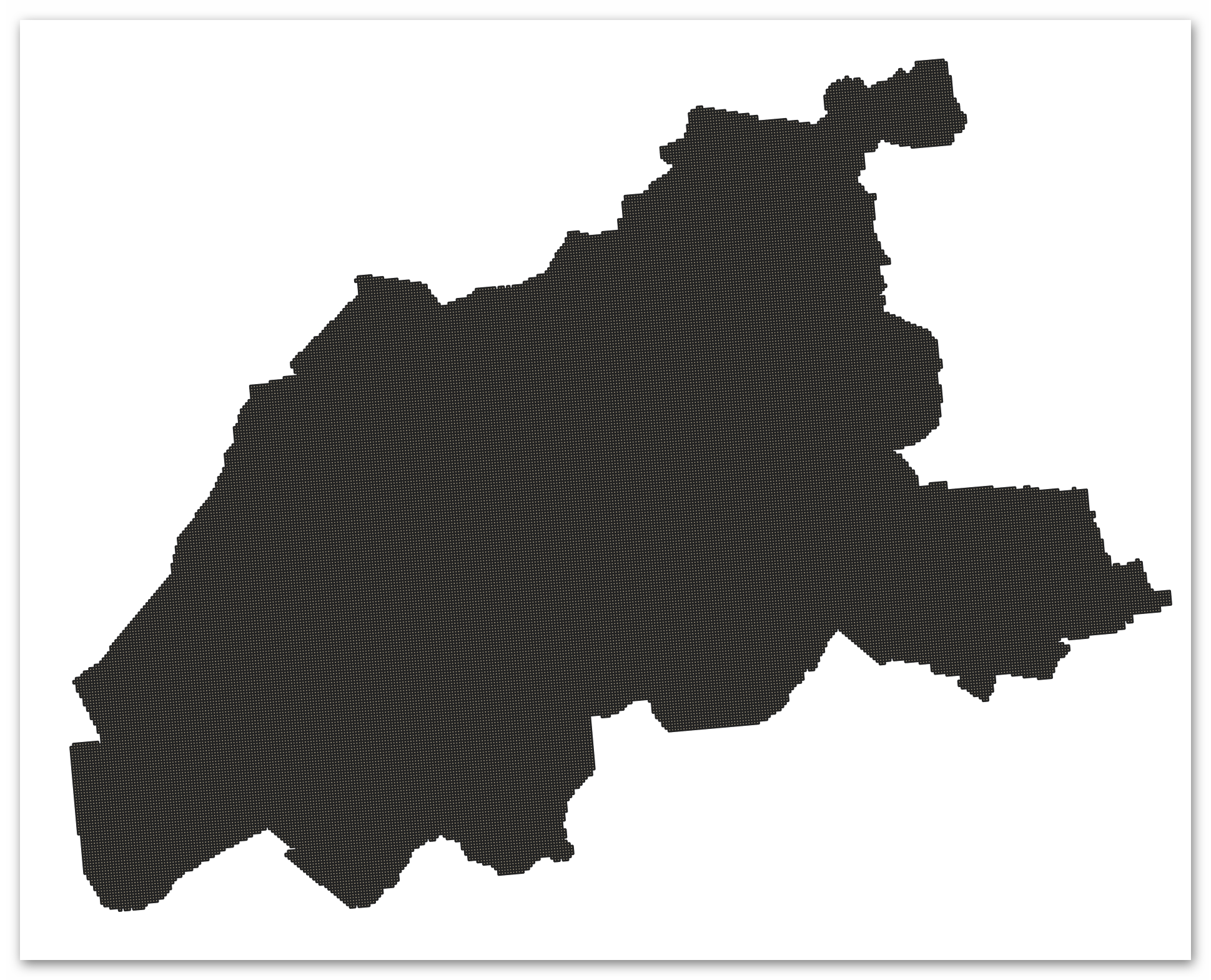
- Viersen, Kreis (05166)
))
- Code
- 051660000000
Coupled Resource
- Operation Name
-
Landingpage
Coupled Resource
- Operation Name
-
Collections
Coupled Resource
- Operation Name
-
Landingpage
Coupled Resource
- Operation Name
-
Collections
Coupled Resource
- Operation Name
-
Landingpage
Coupled Resource
- Operation Name
-
Collections
Coupled Resource
- Operation Name
-
Landingpage
Coupled Resource
- Operation Name
-
Collections
Coupled Resource
- Operation Name
-
Landingpage
Coupled Resource
- Operation Name
-
Collections
- Coupling Type
- Tight
Contains Operations
- Operation Name
-
Landingpage
- Distributed Computing Platforms
- Web services
- Connect Point
- https://geo.kreis-viersen.de/ows/statistik/wfs3
Contains Operations
- Operation Name
-
Collections
- Distributed Computing Platforms
- Web services
Ref. system
- Unique resource identifier
- EPSG 25832: ETRS89 / UTM Zone 32N
- Unique resource identifier
- EPSG 3035: ETRS89 / LAEA Europa
- Unique resource identifier
- EPSG 3857: WGS 84 / Pseudo-Mercator
- Unique resource identifier
- EPSG 4326: WGS 84 / geographisch
- Unique resource identifier
- EPSG 4647: ETRS89 / UTM Zone 32N (zE-N)
- Unique resource identifier
- EPSG 5650: ETRS89 / UTM Zone 33N (zE-N)
- Unique resource identifier
- EPSG 25831: ETRS89 / UTM Zone 31N
- Unique resource identifier
- EPSG 25833: ETRS89 / UTM Zone 33N
- Unique resource identifier
- EPSG 31466: DHDN / Gauss-Krüger Zone 2
- Unique resource identifier
- EPSG 31467: DHDN / Gauss-Krüger Zone 3
- Unique resource identifier
- EPSG 5653: ETRS89/ UTM Zone33N (N-zE)
- Unique resource identifier
- EPSG 5652: ETRS89/ UTM Zone32N (N-zE)
- Unique resource identifier
- EPSG 5651: ETRS89/ UTM Zone31N (N-zE)
- Unique resource identifier
- EPSG 5649: ETRS89 / UTM Zone 31N (zE-N)
- Unique resource identifier
- EPSG 28992: Dutch Grid RD Amersfoort
Metadata
Metadata
- File identifier
- 4349f56f-bf07-4582-a7f3-cad05e41d913 XML
- Metadata language
- Deutsch
- Character set
- UTF8
- Hierarchy level
- Service
- Hierarchy level name
-
service
- Date stamp
- 2026-03-10
- Metadata standard name
-
ISO19119
- Metadata standard version
-
2005/PDAM 1
Overviews
Spatial extent
Provided by
