 My GeoNetwork catalogue
OGC API - Features Gitternetze Kreis Viersen
Hier erhalten Sie UTM-Gitternetze mit 100m, 500m, 1000m und 2000m Auflösung für den Kreis Viersen. Dargestellt werden zu Übersichtszwecken Linien glatter Koordinatenwerte zum Koordinatensystem (für UTM32/ETRS89/EPSG 25832 z.B. 32020000.00 / 5740000.00). Die Bezeichnung eines Gitters ergibt sich immer aus den Koordinaten der unteren linken Ecke (z.B. 316000_5695000 für ein UTM Gitter 1000x1000m).
INSPIRE
Identification
- File identifier
- 4349f56f-bf07-4582-a7f3-cad05e41d913 XML
- Hierarchy level
- Service
Online resource
Resource identifier
Encoding
Projection
Classification of data and services
- Service Type
- download
- Coupling Type
- Tight
Coupled resource
Coupled resource
Classification of data and services
- Service Type
- download
- Coupling Type
- Tight
Coupled resource
Coupled resource
Keywords
-
Service Classification, version 1.0
-
-
infoFeatureAccessService
-
Other keywords
- Keywords
-
-
Brüggen
-
Grefrath
-
Kempen
-
Nettetal
-
Niederkrüchten
-
Schwalmtal
-
Tönisvorst
-
Viersen
-
Willich
-
Kreis Viersen
-
05166000
-
Gitter
-
Gitternetz
-
Koordinatengitter
-
UTM-Gitter
-
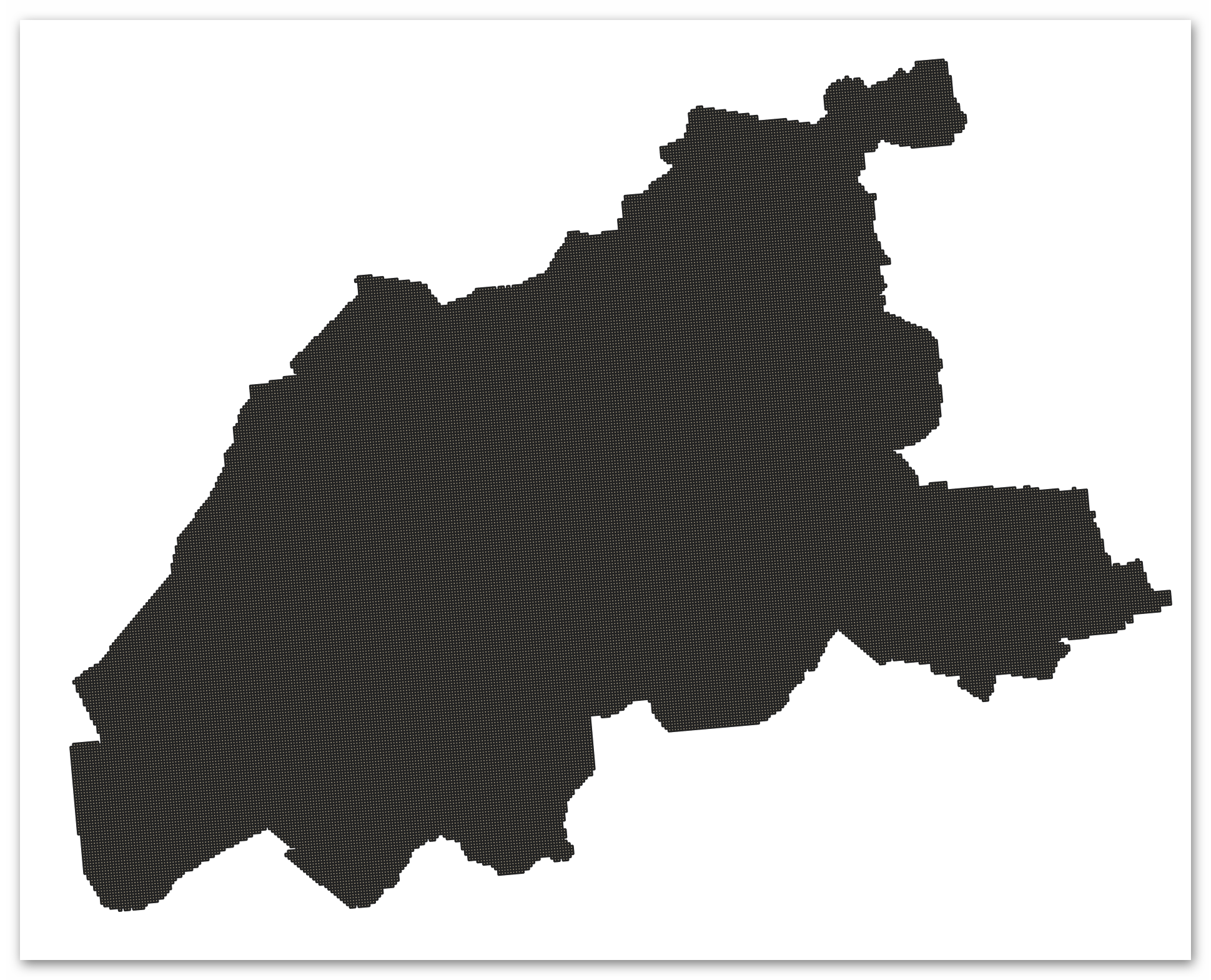
Geographic coverage
))
Temporal reference
Temporal extent
Temporal extent
- Date (Creation)
- 2025-02-06T00:00:00.000+01:00
Conformity
Conformity
Conformity
Conformity
Conformity
Conformity
Restrictions on access and use
- Access constraints
-
Datenlizenz Deutschland Namensnennung 2.0
- Access constraints
-
{"id":"dl-by-de/2.0","name":"Datenlizenz Deutschland Namensnennung 2.0","url":" https://www.govdata.de/dl-de/by-2-0","quelle":""}
- Access constraints
- Es gelten keine Zugriffsbeschränkungen
Responsible organization (s)
Contact for the resource
- Organisation name
-
Kreis Viersen
- Organisation name
-
Kreis Viersen - Amt 10/2 - Abgeschottete Statistikstelle
- Organisation name
-
Kreis Viersen - Amt 62/1 - Geobasisdaten und GIS
Responsible organization (s)
Contact for the resource
- Organisation name
-
Kreis Viersen
- Organisation name
-
Kreis Viersen - Amt 10/2 - Abgeschottete Statistikstelle
- Organisation name
-
Kreis Viersen - Amt 62/1 - Geobasisdaten und GIS
Metadata information
Contact for the metadata
- Organisation name
-
Kreis Viersen - Amt 62/1 - Geobasisdaten und GIS
- Date stamp
- 2026-03-10
- Metadata language
- Deutsch
SDS
Conformance class 1: invocable
Access Point URL
Endpoint URL
Technical specification
Conformance class 2: interoperable
Access constraints
- Access constraints
- Other restrictions
- Other constraints
- Es gelten keine Zugriffsbeschränkungen
Limitation
Use constraints
Limitation
- string
-
Datenlizenz Deutschland Namensnennung 2.0
- string
-
{"id":"dl-by-de/2.0","name":"Datenlizenz Deutschland Namensnennung 2.0","url":" https://www.govdata.de/dl-de/by-2-0","quelle":""}
Responsible custodian
Contact for the resource
Conformance class 3: harmonized
Contains Operations
- Operation Name
-
Landingpage
- Distributed Computing Platforms
- Web services
- Connect Point
- https://geo.kreis-viersen.de/ows/statistik/wfs3
Contains Operations
- Operation Name
-
Collections
- Distributed Computing Platforms
- Web services
Overviews
Spatial extent
Provided by
