 My GeoNetwork catalogue
WFS Verwaltungsgebiete 1:250 000 mit Einwohnerzahlen - Stand 31.12.
Dieser Downloaddienst stellt die Verwaltungsgebiete 1:250 000 (VG250) mit Stand 31.12. für das Gebiet der Bundesrepublik Deutschland bereit.
Der Datenbestand der Verwaltungsgebiete (VG) umfasst die Verwaltungseinheiten aller hierarchischen Verwaltungsebenen vom Staat bis zu den Gemeinden mit den jeweiligen Verwaltungsgrenzen, statistischen Schlüsselzahlen, den Namen der Verwaltungseinheiten sowie der spezifischen Bezeichnungen der Verwaltungsebenen.
Die Daten sind ebenenweise in Staat, Länder, Regierungsbezirke, Kreise, Verwaltungsgemeinschaften und Gemeinden gegliedert. Darüber hinaus liegen dem Datensatz amtliche Zusatzbezeichnungen, Namen der nationalen Minderheiten sowie Übersichten der Verwaltungszuordnung und Verwaltungseinheiten bei.
Das Produkt VG250-EW enthält Einwohnerzahlen und Katasterflächen. Da die offiziellen Einwohnerzahlen erst im Herbst des Folgejahres veröffentlicht werden, kann der jeweils aktuelle Stand des Produktes erst nach diesem Zeitpunkt bezogen werden. Bei Bedarf stehen vorläufige Einwohnerzahlen auf der Webseite des Statistischen Bundesamtes zur Verfügung.
Die Geometrie der Grenzen ist hinsichtlich Genauigkeit und Auflösung auf das ATKIS®-DLM250 ausgerichtet.
Mit dem Stand 31.12. ist der Anschluss an die Bundesstatistik möglich. Maßstab: 1:250000; Bodenauflösung: nullm; Scanauflösung (DPI): null
- Identification
- Distribution
- Quality
- Spatial rep.
- Ref. system
- Content
- Portrayal
- Metadata
- Md. constraints
- Md. maintenance
- Schema info
Identification
Identification info
Service Identification (19119)
Citation
- Alternate title
-
Verwaltungsgrenzen
- Alternate title
-
wfs_vg250-ew
- Date (Creation)
- 2016-05-25T00:00:00.000+02:00
- Status
- On going
+49 69 6333-251
https://www.bkg.bund.de
+49 69 6333-235
https://www.bkg.bund.de
Maintenance information
- Maintenance and update frequency
- Annually
- Update scope
- Service
-
Service Classification, version 1.0
-
-
infoFeatureAccessService
-
- Keywords
-
-
BKG
-
Verwaltungseinheiten
-
Einwohnerzahlen
-
VG250
-
WFS
-
DownloadService
-
infoFeatureAccessService
-
Bundesamt für Kartographie und Geodäsie
-
Deutschland
-
Verwaltungsgrenzen
-
Bundesland
-
Regierungsbezirk
-
Kreisverwaltung
-
Kreis
-
Verwaltungsgemeinschaft
-
Verwaltungseinheit
-
Gebietsflächen
-
Gebiete
-
administrative Grenzen
-
Stand 31.12.
-
wfs_vg250-ew
-
WFS Verwaltungsgebiete 1:250 000 mit Einwohnerzahlen - Stand 31.12.
-
AdV
-
- Keywords
-
-
AdVMIS
-
-
GEMET - Concepts, version 3.1
Legal constraints
- Use constraints
- Other restrictions
- Other constraints
-
Quellenvermerk: © BKG (Jahr des letzten Datenbezugs) dl-de/by-2-0, Datenquellen: https://sgx.geodatenzentrum.de/web_public/gdz/datenquellen/datenquellen_vg_nuts.pdf
Legal constraints
- Access constraints
- Other restrictions
- Other constraints
- Es gelten keine Zugriffsbeschränkungen
- Service Type
- download
- Service Version
-
OGC:WFS 2.0
Extent
Geographic description
- Extent type code
- Yes
- Geographic identifier
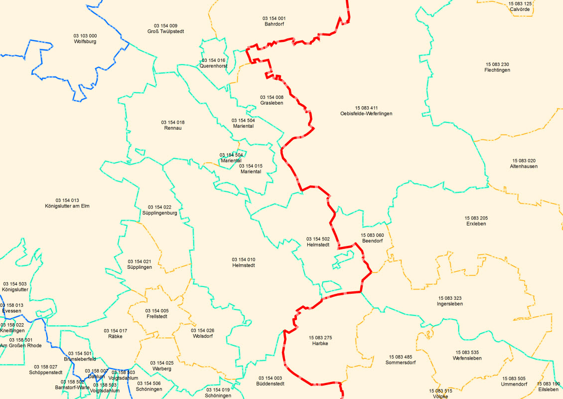
- Raumbezug des Datensatzes
))
- Coupling Type
- Tight
Contains Operations
- Operation Name
-
GetCapabilities
- Distributed Computing Platforms
- Web services
- Connect Point
- https://sgx.geodatenzentrum.de/wfs_vg250-ew?
Contains Operations
- Operation Name
-
DescribeFeatureType
- Distributed Computing Platforms
- Web services
- Connect Point
- https://sgx.geodatenzentrum.de/wfs_vg250-ew?
Contains Operations
- Operation Name
-
GetFeature
- Distributed Computing Platforms
- Web services
- Connect Point
- https://sgx.geodatenzentrum.de/wfs_vg250-ew
Distribution
Distribution
- Distribution format
-
-
GML
()
-
GML
()
- OnLine resource
- Produktseite des Geodatenzentrums
- OnLine resource
- Dienst "WFS Verwaltungsgebiete 1:250 000 mit Einwohnerzahlen - Stand 31.12." (GetCapabilities) ( OGC Web Feature Service )
Quality
Data quality
Scope
- Hierarchy level
- Service
- Other
-
service
Conformance result
Citation
- Date (Publication)
- 2005-05-03
- Explanation
-
see the referenced specification
- Pass
- Yes
Conformance result
Citation
- Date (Publication)
- 2009-10-20
- Explanation
-
see the referenced specification
- Pass
- No
Ref. system
- Unique resource identifier
- EPSG 4326: WGS 84 / geographisch
- Unique resource identifier
- EPSG 4258: ETRS89 / geographisch
- Unique resource identifier
- EPSG 31469: DHDN / Gauss-Krüger Zone 5
- Unique resource identifier
- EPSG 31468: DHDN / Gauss-Krüger Zone 4
- Unique resource identifier
- EPSG 31467: DHDN / Gauss-Krüger Zone 3
- Unique resource identifier
- EPSG 31466: DHDN / Gauss-Krüger Zone 2
- Unique resource identifier
- EPSG 25833: ETRS89 / UTM Zone 33N
- Unique resource identifier
- EPSG 25832: ETRS89 / UTM Zone 32N
Metadata
Metadata
- File identifier
- 4A9DCE2B-DCCA-4939-BA01-54364D11C46D XML
- Metadata language
- Deutsch
- Character set
- UTF8
- Hierarchy level
- Service
- Hierarchy level name
-
service
- Date stamp
- 2026-05-05
- Metadata standard name
-
ISO19119
- Metadata standard version
-
2005/PDAM 1
Overviews
Spatial extent
Provided by
