 My GeoNetwork catalogue
Elevation (Bathymetry) - INSPIRE View Service
INSPIRE theme Elevation (bathymetry). Provision of the topography of the seabed in the North and Baltic Sea.
Simple
Identification info
- Alternate title
-
ELC_INSPIRE
- Date (Revision)
- 2023-05-05
- Date (Creation)
- 2018-06-27
- Citation identifier
- https://www.geoseaportal.de/csw/record/5afbd3f9-8bd8-4bfc-a77c-ac3de4ace07f
+49 381 4563-948
-
Spatial scope
-
-
National
-
- Theme
-
-
Elevation
-
mcloud_category_waters
-
The Federal Maritime and Hydrographic Agency
-
BSH
-
opendata
-
open data
-
identified by INSPIRE
-
INSPIRE
-
INSPIRE relevant
-
- Keywords
-
-
infoMapAccessService
-
-
GEMET - INSPIRE themes, version 1.0
-
-
Höhe
-
- Classification
- Unclassified
- Use constraints
- Other restrictions
- Other constraints
-
Dieser Datensatz kann gemäß der "Datenlizenz Deutschland – Namensnennung – Version 2.0" (www.govdata.de/dl-de/by-2-0) genutzt werden.
- Other constraints
-
{"id":"dl-by-de/2.0","name":"Datenlizenz Deutschland Namensnennung 2.0","url":" https://www.govdata.de/dl-de/by-2-0","quelle":"Quelle : Bundesamt für Seeschifffahrt und Hydrographie"}
- Access constraints
- Other restrictions
- Other constraints
- Es gelten keine Zugriffsbeschränkungen
- Service Type
- view
- Service Version
-
OGC:WMS 1.3.0
))
- Geographic identifier
- 000000000000
Coupled Resource
- Coupling Type
- Tight
Contains Operations
- Operation Name
-
GetCapabilities
- Distributed Computing Platforms
- Web services
- Connect Point
- https://www.geoseaportal.de/geoserver/ELC_INSPIRE/ows?SERVICE=WMS&REQUEST=GetCapabilities&VERSION=1.3.0 ( OGC:WMS-1.3.0-http-get-capabilities )
- Operates On
- Unique resource identifier
- EPSG:25832
+49 40 3190-5000
- OnLine resource
- GetCapabilities request for the Elevation WMS service ( OGC:WMS-1.3.0-http-get-capabilities )
- Hierarchy level
- Service
- Other
-
service
Conformance result
- Date (Publication)
- 2009-10-20
- Explanation
-
No explanation available
- Pass
- Yes
Conformance result
- Date (Publication)
- 2010-12-08
- Explanation
-
This Spatial Data Service set is conformant with the INSPIRE Implementing Rules for the interoperability of spatial data sets and services
- Pass
- Yes
Conformance result
- Date (Publication)
- 2005-12-01
- Explanation
-
This Spatial Data Service set is conformant with the ISO 19128:2005 specification
- Pass
- Yes
Conceptual consistency
- Name of measure
- performance
- Measure description
-
The maximum time in which a typical request to the Spatial Data Service can be carried out in a off-peak load situation
Quantitative result
- Value
- 5
Conceptual consistency
- Name of measure
- availability
- Measure description
-
Availability on yearly basis, expressed as percentage of time
Quantitative result
- Value
- 99.0
Conceptual consistency
- Name of measure
- capacity
- Measure description
-
Maximum number of simultaneous requests per second meeting the performance criteria, expressed as number of requests per second
Quantitative result
- Value
- 20
- Statement
-
The Federal Maritime and Hydrographic Agency (BSH)
- File identifier
- 5afbd3f9-8bd8-4bfc-a77c-ac3de4ace07f XML
- Metadata language
- Deutsch
- Character set
- UTF8
- Parent identifier
-
Elevation (Bathymetry)
db08a88d-ba0c-4b3a-9e02-4973120b47c9
- Hierarchy level
- Service
- Hierarchy level name
-
Hydrographie
- Date stamp
- 2023-05-05T14:40:22.9178729
- Metadata standard name
-
ISO 19119:2003/19139
- Metadata standard version
-
1.0
+49 40 3190-5000
Overviews
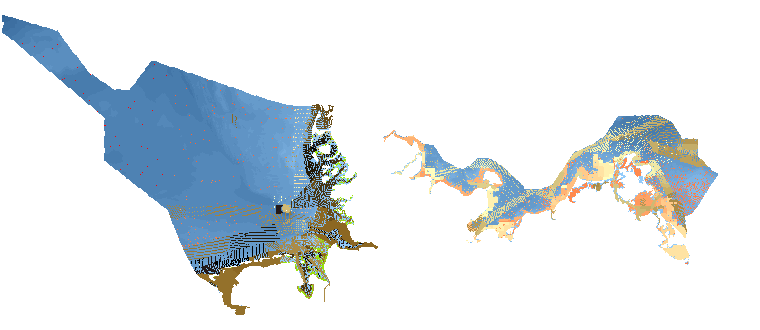
Spatial extent
Provided by
