 My GeoNetwork catalogue
INSPIRE US WMS Landkreis Gotha
Darstellungsdienst für Geodaten des Landkreis Gotha
Simple
Identification info
- Date (Creation)
- 2023-02-14
- Citation identifier
- https://registry.gdi-de.org/id/de.th.csw/677b1a23-3e8f-493f-8be0-64a010eb4df9
- Status
- On going
+49 1234567
https://www.landkreis-gotha.de
- Maintenance and update frequency
- As needed
- Keywords
-
-
inspireidentifiziert
-
Schule
-
Schulstandorte
-
school
-
Grundschule
-
Regelschule
-
Gymnasium
-
Förderschule
-
opendata
-
GOVE
-
REGI
-
SOCI
-
EDUC
-
Thüringen
-
Georedakteur_Kommunal
-
-
VERORDNUNG (EG) Nr. 1205/2008 DER KOMMISSION zur Durchführung der Richtlinie 2007/2/EG des Europäischen Parlaments und des Rates hinsichtlich Metadaten
-
-
humanGeographicViewer
-
Darstellungsdienste
-
-
GEMET - INSPIRE themes, version 1.0
-
-
Versorgungswirtschaft und staatliche Dienste
-
- Access constraints
- Other restrictions
- Other constraints
- Es gelten keine Zugriffsbeschränkungen
- Use limitation
-
Nutzungsbedingungen: Für diesen Dienst gelten die Nutzungsbedingungen nach der Datenlizenz Deutschland-Namensnennung, zurzeit in der Version 2.0 ( https://www.govdata.de/dl-de/by-2-0 ) unter Verwendung des Quellvermerkes "© GDI-Th".
- Access constraints
- Other restrictions
- Use constraints
- Other restrictions
- Other constraints
-
Nutzungsbedingungen: Datenlizenz Deutschland-Namensnennung 2.0 in JSON Syntax
- Other constraints
-
{"id": "dl-by-de/2.0", "name": "Datenlizenz Deutschland Namensnennung 2.0", "url": " https://www.govdata.de/dl-de/by-2-0 ", "quelle": "© GDI-Th"}
- Service Type
- view
- Service Version
-
OGC:WMS 1.3.0
- Description
-
Landkreis Gotha
- Code
- 1606700000000
))
Coupled Resource
- Operation Name
-
GetCapabilities
- Identifier
-
bfed346d-0fb2-4dac-94cc-a658cbcdc212
- Coupling Type
- Tight
Contains Operations
- Operation Name
-
GetCapabilities
- Distributed Computing Platforms
- Web services
- Operates On
- Reference system identifier
- http://www.opengis.net/def/crs/EPSG/0/25832
- Distribution format
-
-
gml
(
gml 3.2
)
-
gml
(
gml 3.2
)
- OnLine resource
- Darstellungsdienst für INSPIRE Geodaten des Landkreis Gotha ( OGC:WMS-http-get-map )
- OnLine resource
- Downloaddienst für Inspire Geodaten des Landkreis Gotha ( WWW:LINK-1.0-http--rss )
- Hierarchy level
- Service
- Other
-
service
Conformance result
- Date (Publication)
- 2013-04-04
- Citation identifier
- Darstellungsdienst
- Presentation form
- Digital document
- Explanation
-
mit GDI-DE Testsuite validiert
- Pass
- Yes
Conformance result
- Date (Publication)
- 2010-12-08
- Presentation form
- Digital document
- Explanation
-
mit GDI-DE testsuite validiert
- Pass
- Yes
Conformance result
- Date (Publication)
- 2009-10-20
- Presentation form
- Digital document
- Explanation
-
mit GDI-Testsuite validiert
- Pass
- Yes
Conformance result
- Date (Publication)
- 2008-12-03
- Presentation form
- Digital document
- Explanation
-
mit GDI-Testsuite validiert
- Pass
- Yes
- Statement
-
Landratsamt Gotha
- File identifier
- 677b1a23-3e8f-493f-8be0-64a010eb4df9 XML
- Metadata language
- Deutsch
- Character set
- UTF8
- Hierarchy level
- Service
- Hierarchy level name
-
INSPIRE US WMS Landkreis Gotha Thüringen
- Date stamp
- 2025-07-28T10:35:02
- Metadata standard name
-
ISO 19115/19119
https://www.landkreis-gotha.de/
Overviews
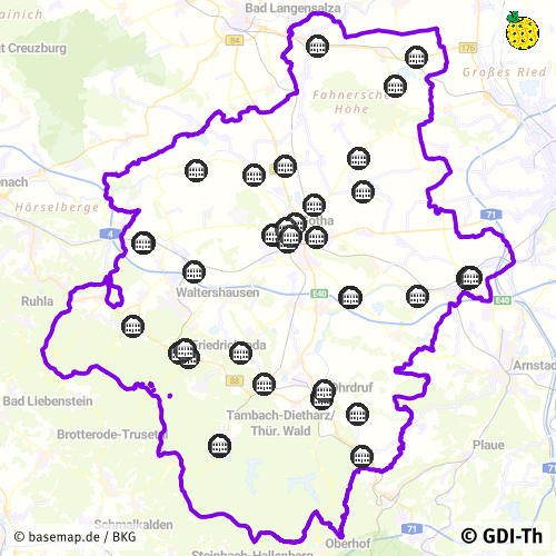
Spatial extent
Provided by
