 My GeoNetwork catalogue
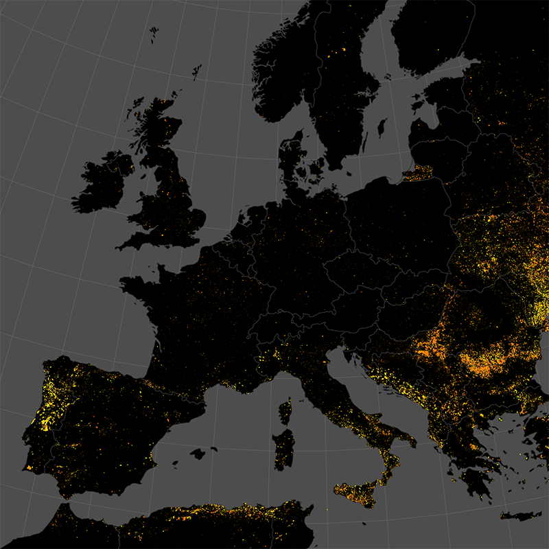
Burnt Area NRT Incremental Product - MODIS - Europe, Daily
The product is automatically derived from Aqua/Terra (MODIS) satellite imagery in near-real time. It is an incremental product, meaning that the retrieved results are updated as soon as new input data becomes available over a timespan of ten days. Besides the fire perimeter and detection time, each feature contains information about the severity of the burning.
INSPIRE
Identification
- File identifier
- 6e614923-3c94-4828-bb92-49d3da4ae0c5 XML
- Hierarchy level
- Series
Online resource
- Protocol
-
OGC:WMS
- Protocol
-
OGC:WMS-http-get-capabilities
- Protocol
-
WWW:LINK-1.0-http--link
- Protocol
-
WWW:LINK-1.0-http--link
- Protocol
-
WWW:LINK-1.0-http--link
- Protocol
-
WWW:LINK-1.0-http--link
Resource identifier
- Metadata language
- English
- Spatial representation type
- Vector
Encoding
- Format
-
GeoPackage
Projection
- code
- EPSG:3035
Classification of data and services
Coupled resource
Coupled resource
Classification of data and services
Coupled resource
Coupled resource
Keywords
-
GEMET - INSPIRE themes, version 1.0
-
-
Natural risk zones
-
Other keywords
- Keywords
-
-
Burnt Area
-
MODIS
-
Europe
-
Near-Realtime
-
Burn Severity
-
time-series
-
daily
-
inspireidentifiziert
-
Geographic coverage
))
Temporal reference
Temporal extent
- Begin
- 2022-08-03
Temporal extent
- Date (Creation)
- 2022-04-01T00:00:00
Quality and validity
- Lineage
-
The product is based on mid resolution, optical data from the Aqua/Terra MODIS sensor level 1 NRT product. It utilizes information from the red and near-infrared domain, in combination with thermal anomaly data from the MODIS and VIIRS sensors
- Denominator
- 600000
Conformity
Conformity
Conformity
Conformity
Conformity
Conformity
- Explanation
-
See the referenced specification
Restrictions on access and use
- Access constraints
- no limitations to public access
- Access constraints
-
terms of use: https://creativecommons.org/licenses/by-nc/4.0/
- Access constraints
-
{"id": "cc-by-nc/4.0",
"name": "Creative Commons Namensnennung – 4.0 NonCommercial 4.0 International (CC BY-NC 4.0)",
"url": " https://creativecommons.org/licenses/by-nc/4.0/ ",
"quelle": "Copyright DLR (year)"}
Responsible organization (s)
Contact for the resource
- Organisation name
-
German Aerospace Center (DLR)
- Organisation name
-
German Aerospace Center (DLR)
- Organisation name
-
German Aerospace Center (DLR)
- Organisation name
-
German Aerospace Center (DLR)
Responsible organization (s)
Contact for the resource
- Organisation name
-
German Aerospace Center (DLR)
- Organisation name
-
German Aerospace Center (DLR)
- Organisation name
-
German Aerospace Center (DLR)
- Organisation name
-
German Aerospace Center (DLR)
Metadata information
Contact for the metadata
- Organisation name
-
German Aerospace Center (DLR)
- Date stamp
- 2025-07-22T06:56:37
- Metadata language
- English
- Character set
- UTF8
SDS
Conformance class 1: invocable
Access Point URL
Endpoint URL
Technical specification
Conformance class 2: interoperable
Access constraints
Limitation
Use constraints
Limitation
Responsible custodian
Contact for the resource
Overviews

Spatial extent
Provided by
