 www.geodatenkatalog.de (S3F)
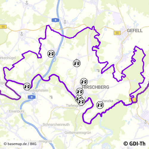
Spielplätze der Stadt Hirschberg
Der Datensatz zeigt die Standorte der frei zugänglichen Spielplätze der Stadt Hirschberg. Es handelt sich um einen Sekundärdatenbestand.
|
|
Citation proposal
. Spielplätze der Stadt Hirschberg. https://gdk.gdi-de.org/geonetwork/srv/api/records/75046202-0db4-4df2-b846-19169e125570 |
INSPIRE
Identification
- File identifier
- 75046202-0db4-4df2-b846-19169e125570 XML
- Hierarchy level
- Dataset
Online resource
- Protocol
- OGC:WMS-http-get-map
- Protocol
- WWW:DOWNLOAD-1.0-http--download
Resource identifier
- Metadata language
- German
- Spatial representation type
- Vector
Encoding
- Format
- ESRI Shapefile
- Version
- 1.0
Projection
Classification of data and services
- Topic category
-
- Society
Classification of data and services
Coupled resource
Coupled resource
Classification of data and services
Coupled resource
Coupled resource
Keywords
- GEMET - INSPIRE themes, version 1.0 ( Theme )
-
- Bodennutzung
Other keywords
- Keywords
-
- Thüringen
- Spielplatz
- opendata
- GOVE
- REGI
- SOCI
- EDUC
Geographic coverage
N
S
E
W
))
Temporal reference
Temporal extent
Temporal extent
- Date ( Revision )
- 2024-09-02
Quality and validity
- Lineage
- Grundlage amtl. Flurkarte, Orthophoto
- Denominator
- 500
Conformity
Conformity
Conformity
Conformity
Conformity
Conformity
- Explanation
- Originäre Daten
- Explanation
- mit GDI_DE Testsuite validiert
- Explanation
- Originäre Daten
- Explanation
- Originäre Daten
Restrictions on access and use
- Access constraints
- Nutzungsbedingungen: Datenlizenz Deutschland-Namensnennung 2.0 in JSON Syntax
- Access constraints
- {"id": "dl-by-de/2.0", "name": "Datenlizenz Deutschland Namensnennung 2.0", "url": "https://www.govdata.de/dl-de/by-2-0 ", "quelle": "© GDI-Th"}
Restrictions on access and use
Responsible organization (s)
Contact for the resource
- Organisation name
- Stadt Hirschberg
Responsible organization (s)
Contact for the resource
- Organisation name
- Stadt Hirschberg
Metadata information
Contact for the metadata
- Organisation name
- Thüringer Landesamt für Bodenmanagement und Geoinformation
- zgd@tlbg.thueringen.de
- Date stamp
- 2024-09-02T11:42:25
- Metadata language
- German
- Character set
- UTF8
SDS
Conformance class 1: invocable
Access Point URL
Endpoint URL
Technical specification
Conformance class 2: interoperable
Coordinate reference system
Quality of Service
Access constraints
Limitation
Use constraints
Limitation
Responsible custodian
Contact for the resource
Conformance class 3: harmonized
Overviews
Vorschaubild
Provided by

Views
75046202-0db4-4df2-b846-19169e125570
Access to the portal
Read here the full details and access to the data.
Associated resources
Not available