 My GeoNetwork catalogue
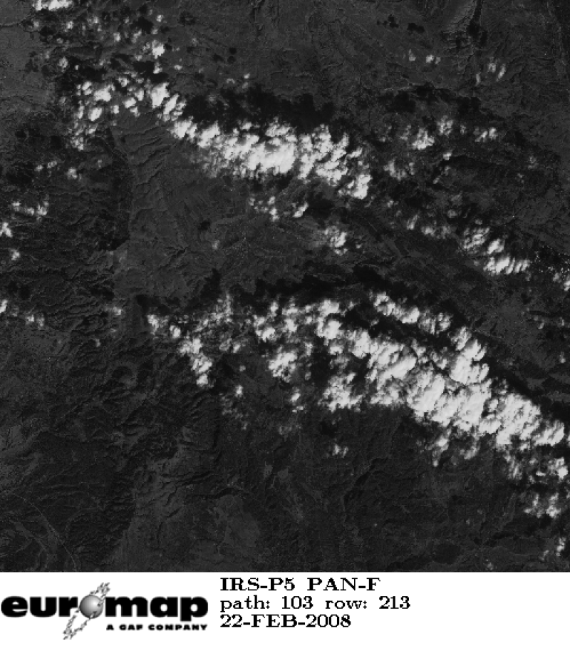
Cartosat-1 (IRS-P5) - Panchromatic Images (PAN) - Europe, Stereographic
Indian Remote Sensing satellites (IRS) are a series of Earth Observation satellites, built, launched and maintained by Indian Space Research Organisation. The IRS series provides many remote sensing services to India and international ground stations.
The satellite has two panchromatic cameras that were especially designed for in flight stereo viewing.
INSPIRE
Identification
- File identifier
- 7ae5a791-b667-4838-9733-a44e4cf2d715 XML
- Hierarchy level
- Series
Online resource
- Protocol
-
WWW:LINK-1.0-http--link
Resource identifier
- Metadata language
-
eng
- Spatial representation type
- Grid
Encoding
Projection
- code
-
WGS 84 (EPSG:4326)
Classification of data and services
- Topic category
-
- Imagery base maps earth cover
Classification of data and services
Coupled resource
Coupled resource
Classification of data and services
Coupled resource
Coupled resource
Keywords
-
GEMET - INSPIRE themes, version 1.0
-
-
Orthoimagery
-
Other keywords
- Keywords
-
-
urn:eop:DLR:EOWEB:IRS-P5.PAN.STEREO.P
-
Cartosat-1
-
IRS-P5
-
PAN
-
stereo
-
stereographic
-
panchromatic
-
visible wavelengths
-
FEDEO
-
Geographic coverage
))
Temporal reference
Temporal extent
- Begin
- 2007-01-05T07:49:00
Temporal extent
- Date (Creation)
- 2013-12-02T00:00:00
Quality and validity
- Lineage
-
For details see: https://www.euromap.de/site/index.html
- Denominator
- 5000
Conformity
Conformity
Conformity
Conformity
Conformity
Conformity
Restrictions on access and use
- Access constraints
- Public access to spatial data sets and services would adversely affect intellectual property rights.
- Access constraints
-
Nutzungsbedingungen / Terms of Use: https://geoservice.dlr.de/resources/licenses/D-SDA_DataLicenseTerms.pdf
Responsible organization (s)
Contact for the resource
- Organisation name
-
GAF AG
- Organisation name
-
GAF AG
Responsible organization (s)
Contact for the resource
- Organisation name
-
GAF AG
- Organisation name
-
GAF AG
Metadata information
Contact for the metadata
- Organisation name
-
German Aerospace Center (DLR)
- Date stamp
- 2024-09-27T12:48:46
- Metadata language
- English
- Character set
- UTF8
SDS
Conformance class 1: invocable
Access Point URL
Endpoint URL
Technical specification
Conformance class 2: interoperable
Access constraints
Limitation
Use constraints
Limitation
Responsible custodian
Contact for the resource
Overviews

Spatial extent
Provided by
