 My GeoNetwork catalogue
Kommunale Topographie Krefeld
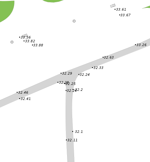
Die Kommunale Topographie beinhaltet verschiedene topographische Objekte (z. B. Straßenlaternen, Kanaldeckel, Wege) und Geländehöhen. Die Daten wurden mittels terrestrischer Aufnahmen der Stadt Krefeld oder durch Digitalisierung ermittelt. Die Daten liegen nicht für das gesamte Stadtgebiet vor, sondern werden projektweise erhoben. Es findet keine kontinuierliche flächendeckende Kontrolle der Daten statt. Diese können daher im Einzelfall von der aktuellen tatsächlichen Situation vor Ort abweichen. Jedes Datenobjekt besitzt eine Zeitangabe zu seinem Erfassungszeitpunkt.
INSPIRE
Identification
- File identifier
- 85079fd3-c80d-490a-9f41-026782b414c8 XML
- Hierarchy level
- Dataset
Online resource
Resource identifier
- Metadata language
- Deutsch
Encoding
Projection
Classification of data and services
- Topic category
-
- Elevation
- Imagery base maps earth cover
Classification of data and services
Coupled resource
Coupled resource
Classification of data and services
Coupled resource
Coupled resource
Keywords
-
UMTHES Thesaurus
-
GEMET - Concepts, version 3.1
Other keywords
- Keywords
-
-
Stadt Krefeld
-
Nordrhein-Westfalen
-
Krefeld
-
Geodäsie
-
Vermessung
-
Geländehöhe
-
Geographic coverage
))
Temporal reference
Temporal extent
Temporal extent
- Date (Publication)
- 2024-10-15T00:00:00.000+02:00
Quality and validity
- Lineage
-
Datenerfassung durch Vermessung vor Ort oder Digitialisierung
Conformity
Conformity
Conformity
Conformity
Conformity
Conformity
Restrictions on access and use
- Access constraints
-
Nutzung der Daten nur nach Rücksprache mit dem Dateneigentümer
Responsible organization (s)
Contact for the resource
- Organisation name
-
Stadt Krefeld
- Organisation name
-
Stadt Krefeld
Responsible organization (s)
Contact for the resource
- Organisation name
-
Stadt Krefeld
- Organisation name
-
Stadt Krefeld
Metadata information
Contact for the metadata
- Organisation name
-
Stadt Krefeld
- Date stamp
- 2026-04-22
- Metadata language
- Deutsch
SDS
Conformance class 1: invocable
Access Point URL
Endpoint URL
Technical specification
Conformance class 2: interoperable
Access constraints
Limitation
Use constraints
Limitation
Responsible custodian
Contact for the resource
Overviews
Spatial extent

Provided by
