 My GeoNetwork catalogue
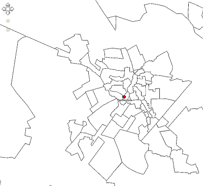
Bodenrichtwertzonen Bauland Landkreis Diepholz 2011
Bodenrichtwertzonen Bauland im LK Diepholz 2011; Legende und weitere Erläuterungen: http://www.gag.niedersachsen.de
Simple
- Date (Creation)
- 2011-01-01
Point of contact
Landkreis Diepholz
-
Herr Blömer
(
Fachdienst Kreisentwicklung, Team GIS-Büro
)
Niedersachsenstr. 2
,
Diepholz
,
Niedersachsen
,
49356
,
Deutschland
05441/976-1284
- Name
-
sde-featureClass
- Version
-
10.0
- Theme
-
-
Bodenrichtwertzonen
-
Bauland
-
Landkreis Diepholz
-
- Use constraints
- Copyright
- Language
- Deutsch
- Character set
- UTF8
- Topic category
-
- Planning cadastre
N
S
E
W
))
- Reference system identifier
- urn:ogc:def:crs:EPSG / 25832 / 6.11.2
Distributor
Landkreis Diepholz
-
GIS-Büro
(
Fachdienst Kreisentwicklung
)
Niedersachsenstr. 2
,
Diepholz
,
Niedersachsen
,
49356
,
Deutschland
05441/976-1284/1287/1288
- Hierarchy level
- Dataset
- Statement
-
LGLN Regionaldirektion Sulingen,
Galtener Str. 16, 27232 Sulingen
Bearbeitungsgrundlage ALK
- File identifier
- 95f2484a-df3e-445f-b944-187bfcb3ff26 XML
- Metadata language
- Deutsch
- Character set
- UTF8
- Hierarchy level
- Dataset
- Hierarchy level name
-
Planen und Bauen
- Date stamp
- 2013-03-20
- Metadata standard name
-
ISO19115
- Metadata standard version
-
2003/Cor.1:2006
Point of contact
Landkreis Diepholz
-
Herr Blömer
(
Fachdienst Kreisentwicklung, Team GIS-Büro
)
Niedersachsenstr. 2
,
Diepholz
,
Niedersachsen
,
49356
,
Deutschland
05441/976-1284
- Dataset URI
-
urn:sde:WAGIS1::sde:sde.GISADMIN.Bodenrichtwertzonen_Bauland_2011
Overviews
Spatial extent
N
S
E
W
Provided by

Associated resources
Not available