 My GeoNetwork catalogue
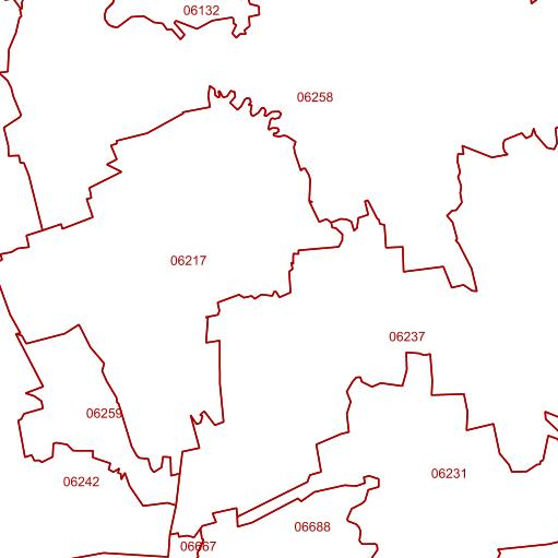
WMS Postleitzahlgebiete
Dieser Darstellungsdienst steht für Postleitzahlgebiete im Gebiet der Bundesrepublik Deutschland zur Verfügung.
Bei den Postleitzahlen handelt es sich um den originalen Datenbestand der Deutschen Post Direkt GmbH. Es sind die Flächen der gültigen 5-stelligen Zustell-Postleitzahlen auf deutschem Staatsgebiet. Die Geometrie der Postleitzahlgebiete ist nicht immer deckungsgleich mit den Grenzen der administrativen Gebietseinheiten, sie besteht z.T. auch aus mehreren Teilflächen.
Der Dienst wird ausschließlich Bundesbehörden zur Verfügung gestellt.
INSPIRE
Identification
- File identifier
- 989822C4-A041-48D1-A4AD-B3734E0CA1F4 XML
- Hierarchy level
- Service
Online resource
- Protocol
- OGC Web Map Service
Resource identifier
Encoding
- Format
-
TIFF
- Format
-
PNG
- Format
-
JPEG
Projection
- code
-
CRS 84: CRS 84 / mathematisch
Classification of data and services
- Service Type
- view
- Coupling Type
- Tight
Coupled resource
Coupled resource
Classification of data and services
- Service Type
- view
- Coupling Type
- Tight
Coupled resource
Coupled resource
Keywords
-
Service Classification, version 1.0
-
-
infoMapAccessService
-
Other keywords
- Keywords
-
-
Postleitzahlgebiete
-
Deutschland
-
BKG
-
WMS
-
ViewService
-
infoMapAccessService
-
Bundesamt für Kartographie und Geodäsie
-
PLZ
-
Geographic coverage
))
))
Temporal reference
Temporal extent
Temporal extent
- Date (Creation)
- 2010-02-16T00:00:00.000+01:00
Conformity
Conformity
Conformity
Conformity
Conformity
Conformity
- Explanation
-
see the referenced specification
Restrictions on access and use
- Access constraints
-
Quellenvermerk: © Deutsche Post Direkt GmbH (Jahr des letzten Datenbezugs)
- Access constraints
-
Es gelten Zugriffsbeschränkungen. Für den Erwerb von Nutzungsrechten wenden Sie sich deshalb bitte an die Zentrale Stelle Geotopographie der AdV (ZSGT) / Dienstleistungszentrum (DLZ) des Bundesamtes für Kartographie und Geodäsie: https://www.bkg.bund.de/DE/Service/Kontakt/kontakt.html .
Responsible organization (s)
Contact for the resource
- Organisation name
-
Bundesamt für Kartographie und Geodäsie (BKG)
- Organisation name
-
Bundesamt für Kartographie und Geodäsie (BKG)
Responsible organization (s)
Contact for the resource
- Organisation name
-
Bundesamt für Kartographie und Geodäsie (BKG)
- Organisation name
-
Bundesamt für Kartographie und Geodäsie (BKG)
Metadata information
Contact for the metadata
- Organisation name
-
Bundesamt für Kartographie und Geodäsie (BKG)
- Date stamp
- 2026-05-05
- Metadata language
- Deutsch
SDS
Conformance class 1: invocable
- Pass
- Yes
Access Point URL
Endpoint URL
Technical specification
- Date
- Explanation
-
see the referenced specification
Conformance class 2: interoperable
Access constraints
Limitation
- string
-
Es gelten Zugriffsbeschränkungen. Für den Erwerb von Nutzungsrechten wenden Sie sich deshalb bitte an die Zentrale Stelle Geotopographie der AdV (ZSGT) / Dienstleistungszentrum (DLZ) des Bundesamtes für Kartographie und Geodäsie: https://www.bkg.bund.de/DE/Service/Kontakt/kontakt.html .
Use constraints
- Use constraints
- Other restrictions
- Other constraints
-
Quellenvermerk: © Deutsche Post Direkt GmbH (Jahr des letzten Datenbezugs)
Limitation
- string
-
Quellenvermerk: © Deutsche Post Direkt GmbH (Jahr des letzten Datenbezugs)
Responsible custodian
Contact for the resource
Conformance class 3: harmonized
Contains Operations
- Operation Name
-
GetCapabilities
- Distributed Computing Platforms
- Web services
- Connect Point
- https://sg.geodatenzentrum.de/wms_plz?SERVICE=WMS&
Contains Operations
- Operation Name
-
GetMap
- Distributed Computing Platforms
- Web services
- Connect Point
- https://sg.geodatenzentrum.de/wms_plz?SERVICE=WMS&
Contains Operations
- Operation Name
-
GetFeatureInfo
- Distributed Computing Platforms
- Web services
- Connect Point
- https://sg.geodatenzentrum.de/wms_plz?SERVICE=WMS&
Overviews
Spatial extent
Provided by
