 My GeoNetwork catalogue
WFS Geographische Namen GN-DE (einfache Modellierung)
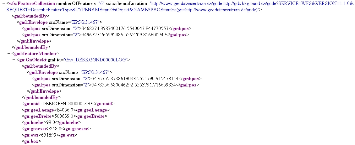
Dieser Downloaddienst dient zur Suche Geographischer Namen Deutschlands in einfacher Datenmodellierung.
Der Datensatz GN-DE beinhaltet im Wesentlichen alle mit Namen bezeichneten geographischen Objekte Deutschlands, die in dem Digitalen Landschaftsmodell 1:250 000 des ATKIS enthalten sind bzw. in topographischen Karten des Maßstabsbereichs 1:200 000 und kleiner dargestellt werden.
Hauptobjekte sind Orte und Ortsteile, Verwaltungsgebiete (z.B. Kreise, Gemeinden), Landschaften, Gebirge, Inseln, Berge, Flüsse, Kanäle, Seen, Meere und ähnliches. Die dazugehörigen Attribute sind Namen, administrative Gliederung (statistische Schlüsselzahl), Höhe, Flusssystem (gewässerkundliche Gebietskennzahl) und naturräumliche Haupteinheit (Leitzahl). Informationen zu den Postleitzahlgebieten liegen ohne Flächenbeschreibungen vor.
Die Lage der Objekte wird jeweils als Punktgeometrie über eine einzelne Koordinate und über kleinste umschreibende Rechtecke (Bounding Boxes) beschrieben.
Der Dienst wird ausschließlich Bundesbehörden zur Verfügung gestellt.
- Identification
- Distribution
- Quality
- Spatial rep.
- Ref. system
- Content
- Portrayal
- Metadata
- Md. constraints
- Md. maintenance
- Schema info
Identification
Identification info
Service Identification (19119)
Citation
- Alternate title
-
wfs_gnde_flat
- Date (Creation)
- 2011-06-28T00:00:00.000+02:00
- Status
- On going
+49 69 6333-235
https://www.bkg.bund.de
+49 69 6333-251
https://www.bkg.bund.de
Maintenance information
- Maintenance and update frequency
- Annually
- Update scope
- Service
-
Service Classification, version 1.0
-
-
infoFeatureAccessService
-
- Keywords
-
-
WFS
-
BKG
-
Deutschland
-
Geonames
-
Geographical Names
-
GN-DE
-
DownloadService
-
infoFeatureAccessService
-
Bundesamt für Kartographie und Geodäsie
-
Legal constraints
- Use constraints
- Other restrictions
- Other constraints
-
Quellenvermerk: © GeoBasis-DE / BKG, Statistisches Bundesamt (Destatis) [Jahr], Deutsche Post Direkt GmbH
Legal constraints
- Access constraints
- Other restrictions
- Other constraints
-
Der Online-Dienst ist lizenzpflichtig.
- Access constraints
- Other restrictions
- Service Type
- download
- Service Version
-
OGC:WFS 2.0
- Service Version
-
OGC:WFS 1.1.0
- Service Version
-
OGC:WFS 1.0.0
Extent
Geographic description
- Extent type code
- Yes
- Geographic identifier
- Raumbezug des Datensatzes
))
- Coupling Type
- Tight
Contains Operations
- Operation Name
-
GetCapabilities
- Distributed Computing Platforms
- Web services
Contains Operations
- Operation Name
-
DescribeFeatureType
- Distributed Computing Platforms
- Web services
- Connect Point
- https://sg.geodatenzentrum.de/wfs_gnde_flat?
Contains Operations
- Operation Name
-
GetFeature
- Distributed Computing Platforms
- Web services
- Connect Point
- https://sg.geodatenzentrum.de/wfs_gnde_flat?
- Operates On
Distribution
Distribution
- Distribution format
-
-
GML
(
2.1.2
)
-
GML
(
3.0
)
-
GML
(
3.1.1
)
-
GML
(
3.2.1
)
-
GML
(
2.1.2
)
- OnLine resource
- Geodatenzentrum
- OnLine resource
- Dokumentation
- OnLine resource
- Dienst "WFS Geographische Namen GN-DE (einfache Modellierung)" (GetCapabilities) ( OGC Web Feature Service )
Quality
Data quality
Scope
- Hierarchy level
- Service
- Other
-
service
Conformance result
Citation
- Date (Publication)
- 2019-12-04
- Explanation
-
see the referenced specification
- Pass
- Yes
Ref. system
- Unique resource identifier
- EPSG 4258: ETRS89 / geographisch
- Unique resource identifier
- EPSG 4839: ETRS89 / LCC Deutschland (N-E)
- Unique resource identifier
- EPSG 3045: ETRS89 / UTM Zone 33N (N-E)
- Unique resource identifier
- EPSG 3044: ETRS89 / UTM Zone 32N (N-E)
- Unique resource identifier
- EPSG 32633: WGS 84 / UTM Zone 33N
- Unique resource identifier
- EPSG 32632: WGS 84 / UTM Zone 32N
- Unique resource identifier
- EPSG 5650: ETRS89 / UTM Zone 33N (zE-N)
- Unique resource identifier
- EPSG 4647: ETRS89 / UTM Zone 32N (zE-N)
- Unique resource identifier
- EPSG 25833: ETRS89 / UTM Zone 33N
- Unique resource identifier
- EPSG 25832: ETRS89 / UTM Zone 32N
- Unique resource identifier
- EPSG 5679: DHDN / Gauss-Krüger Zone 5 (E-N)
- Unique resource identifier
- EPSG 5678: DHDN / Gauss-Krüger Zone 4 (E-N)
- Unique resource identifier
- EPSG 5677: DHDN / Gauss-Krüger Zone 3 (E-N)
- Unique resource identifier
- EPSG 5676: DHDN / Gauss-Krüger Zone 2 (E-N)
- Unique resource identifier
- EPSG 31469: DHDN / Gauss-Krüger Zone 5
- Unique resource identifier
- EPSG 31468: DHDN / Gauss-Krüger Zone 4
- Unique resource identifier
- EPSG 31467: DHDN / Gauss-Krüger Zone 3
- Unique resource identifier
- EPSG 31466: DHDN / Gauss-Krüger Zone 2
- Unique resource identifier
- EPSG 3035: ETRS89 / LAEA Europa
- Unique resource identifier
- EPSG 3034: ETRS89 / LCC Europa
- Unique resource identifier
- EPSG 3857: WGS 84 / Pseudo-Mercator
- Unique resource identifier
- EPSG 4326: WGS 84 / geographisch
Metadata
Metadata
- File identifier
- E6CCA0A6-0F32-4B70-AEC8-7D25E91651AD XML
- Metadata language
- Deutsch
- Character set
- UTF8
- Hierarchy level
- Service
- Hierarchy level name
-
service
- Date stamp
- 2026-05-05
- Metadata standard name
-
ISO19119
- Metadata standard version
-
2005/PDAM 1
Overviews
Spatial extent
Provided by
