 My GeoNetwork catalogue
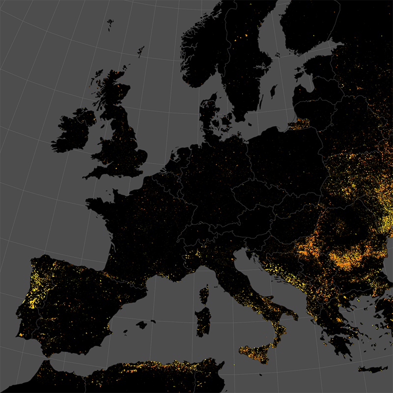
Burnt Area Product - Sentinel-3 - Europe, Monthly
This data set represents the monthly, accumulated results of the final (10-day) version of the fire perimeters from the "Burnt Area Daily NRT Incremental Product - Europe, Sentinel-3" dataset.
The burn perimeters are spatially and temporally correlated, so that interrelated detections from consecutive observations are combined into a single feature.
A perimeter is interpreted as belonging to a given event if a spatial overlap exists within a time frame of 15 days. Besides the geometry, attribute information is also combined while considering the size of the perimeter as a weighting factor.
Each feature contains information about the final fire perimeter, Date/Time of the first detection, and the averaged burn severity.
INSPIRE
Identification
- File identifier
- c657789d-5d9f-4af1-bbfb-c20ab631726e XML
- Hierarchy level
- Series
Online resource
- Protocol
-
OGC:WMS
- Protocol
-
OGC:WMS-http-get-capabilities
- Protocol
-
WWW:LINK-1.0-http--link
- Protocol
-
WWW:LINK-1.0-http--link
- Protocol
-
WWW:LINK-1.0-http--link
Resource identifier
- Metadata language
- English
- Spatial representation type
- Vector
Encoding
- Format
-
GeoPackage
Projection
- code
- EPSG:3035
Classification of data and services
Coupled resource
Coupled resource
Classification of data and services
Coupled resource
Coupled resource
Keywords
-
GEMET - INSPIRE themes, version 1.0
-
-
Natural risk zones
-
Other keywords
- Keywords
-
-
Burnt Area
-
Sentinel-3
-
Europe
-
Near-Realtime
-
Burn Severity
-
time-series
-
monthly
-
inspireidentifiziert
-
Geographic coverage
))
Temporal reference
Temporal extent
- Begin
- 2016-04-01
Temporal extent
- Date (Creation)
- 2022-04-01T00:00:00
Quality and validity
- Lineage
-
The product is based on mid resolution, optical data from the Sentinel-3 A/B OLCI sensor level 1 NRT product. It utilizes information from the red and near-infrared domain, in combination with thermal anomaly data from the MODIS and VIIRS sensors
- Denominator
- 600000
Conformity
Conformity
Conformity
Conformity
Conformity
Conformity
- Explanation
-
See the referenced specification
Restrictions on access and use
- Access constraints
- Es gelten keine Zugriffsbeschränkungen
- Access constraints
-
Nutzungsbedingungen: Lizenz, https://creativecommons.org/licenses/by-nc/4.0 / terms of use: https://creativecommons.org/licenses/by/4.0/
- Access constraints
-
{"id": "cc-by/4.0",
"name": "Creative Commons Namensnennung – 4.0 International (CC BY 4.0)",
"url": " http://dcat-ap.de/def/licenses/cc-by/4.0 ",
"quelle": "Copyright DLR (year)"}
Responsible organization (s)
Contact for the resource
- Organisation name
-
German Aerospace Center (DLR)
- Organisation name
-
German Aerospace Center (DLR)
- Organisation name
-
German Aerospace Center (DLR)
- Organisation name
-
German Aerospace Center (DLR)
Responsible organization (s)
Contact for the resource
- Organisation name
-
German Aerospace Center (DLR)
- Organisation name
-
German Aerospace Center (DLR)
- Organisation name
-
German Aerospace Center (DLR)
- Organisation name
-
German Aerospace Center (DLR)
Metadata information
Contact for the metadata
- Organisation name
-
German Aerospace Center (DLR)
- Date stamp
- 2025-07-22T06:56:27
- Metadata language
- English
- Character set
- UTF8
SDS
Conformance class 1: invocable
Access Point URL
Endpoint URL
Technical specification
Conformance class 2: interoperable
Access constraints
Limitation
Use constraints
Limitation
Responsible custodian
Contact for the resource
Overviews

Spatial extent
Provided by
