 My GeoNetwork catalogue
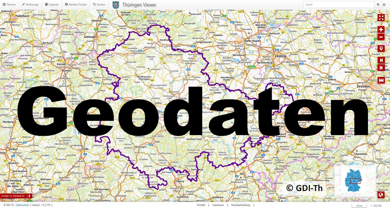
Web-Map-Services Geoproxy
Im Zuge des Aufbaus der Geodateninfrastruktur des Freistaates Thüringen (GDI-Th) werden internen und externen Anwendern ausgewählte Geobasisdaten zur freien Nutzung bereitgestellt.Aus den Geobasisdaten der zentralen Geodatenhaltungs- und Geodatenbereitstellungskomponente Geoproxy werden Datenbestände von besonderem öffentlichen Interesse als öffentliche Daten jedermann ohne Beschränkung des Zugangs und kostenfrei über den Geoclient als Viewing- Dienst zur Verfügung gestellt. Folgende Themen stehen zur Verfügung: ALKIS, ATKIS, Bodenrichtwert, DOP, DTK, Festpunkte, Forst, HKO, Landwirtschaft, Lärm, Planung Schutzgebiete, Straßennetz ,Übersichten, Wind
INSPIRE
Identification
- File identifier
- d9804083-023f-4169-b2fe-3a6c3f3815b8 XML
- Hierarchy level
- Service
Online resource
- Protocol
-
OGC:WMS-http-get-map
- Protocol
-
OGC:WMS-http-get-map
Resource identifier
Encoding
- Format
-
WMS
- Version
-
1.1.1, 1.3.0
Projection
- code
-
31468, 25832
Classification of data and services
- Service Type
- view
- Coupling Type
- Tight
Coupled resource
Coupled resource
Classification of data and services
- Service Type
- view
- Coupling Type
- Tight
Coupled resource
Coupled resource
Keywords
-
VERORDNUNG (EG) Nr. 1205/2008 DER KOMMISSION zur Durchführung der Richtlinie 2007/2/EG des Europäischen Parlaments und des Rates hinsichtlich Metadaten
-
-
humanGeographicViewer
-
Darstellungsdienste
-
-
Spatial scope
-
-
Regional
-
Other keywords
- Keywords
-
-
ALKIS
-
DOP
-
DTK10
-
DTK25
-
DTK25V
-
DTK50
-
DTK100V
-
WMS
-
Flurstücke/Grundstücke (Katasterparzellen)
-
boundaries
-
Geographic coverage
))
Temporal reference
Temporal extent
Temporal extent
- Date (Revision)
- 2009-09-01
Quality and validity
- Lineage
-
ALKIS - Daten
Conformity
Conformity
Conformity
Conformity
Conformity
Conformity
- Explanation
-
Getestet mit der GDI - DE Testsuite
Restrictions on access and use
- Access constraints
-
Nutzungsbedingungen: Dieser Datensatz kann gemäß der „ Allgemeine Geschäfts- und Nutzungsbedingungen des Landesamtes für Vermessung und Geoinformation des Freistaats Thüringen (TLVermGeo) (AGNB)“ ( http://www.thueringen.de/mam/th9/tlvermgeo/agnb-tlvermgeo.pdf ) genutzt werden. Eine kommerzielle Nutzung ist nur nach Abschluss einer Lizenzvereinbarung zulässig.
Responsible organization (s)
Contact for the resource
- Organisation name
-
Thüringer Landesamt für Bodenmanagement und Geoinformation
Responsible organization (s)
Contact for the resource
- Organisation name
-
Thüringer Landesamt für Bodenmanagement und Geoinformation
Metadata information
Contact for the metadata
- Organisation name
-
Thüringer Landesamt für Bodenmanagement und Geoinformation
- Date stamp
- 2022-01-20T15:09:06
- Metadata language
- Deutsch
SDS
Conformance class 1: invocable
Access Point URL
Endpoint URL
Technical specification
Conformance class 2: interoperable
Access constraints
Limitation
- string
-
Nutzungsbedingungen: Dieser Datensatz kann gemäß der „ Allgemeine Geschäfts- und Nutzungsbedingungen des Landesamtes für Vermessung und Geoinformation des Freistaats Thüringen (TLVermGeo) (AGNB)“ ( http://www.thueringen.de/mam/th9/tlvermgeo/agnb-tlvermgeo.pdf ) genutzt werden. Eine kommerzielle Nutzung ist nur nach Abschluss einer Lizenzvereinbarung zulässig.
Use constraints
Limitation
- string
-
Nutzungsbedingungen: Dieser Datensatz kann gemäß der „ Allgemeine Geschäfts- und Nutzungsbedingungen des Landesamtes für Vermessung und Geoinformation des Freistaats Thüringen (TLVermGeo) (AGNB)“ ( http://www.thueringen.de/mam/th9/tlvermgeo/agnb-tlvermgeo.pdf ) genutzt werden. Eine kommerzielle Nutzung ist nur nach Abschluss einer Lizenzvereinbarung zulässig.
Responsible custodian
Contact for the resource
Conformance class 3: harmonized
Contains Operations
- Operation Name
-
GetCapabilities
- Distributed Computing Platforms
- Web services
- Connect Point
- Darstellungsdienst WMS 1.1.1 Capabilities ( OGC:WMS-http-get-map )
- Connect Point
- Darstellungsdienst WMS 1.3.0 Capabilities ( OGC:WMS-http-get-map )
Overviews
Spatial extent
Provided by
