 My GeoNetwork catalogue
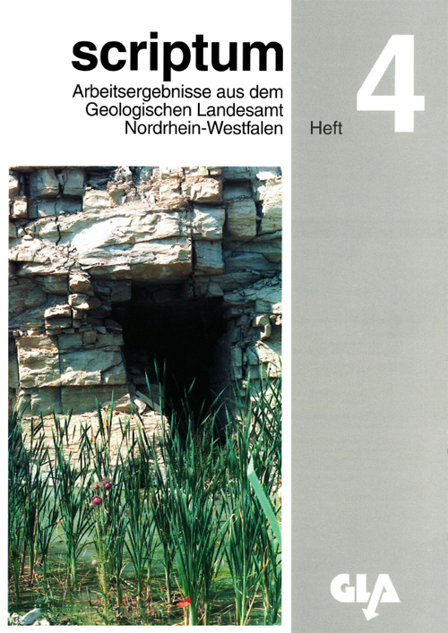
Scriptum 4: Vier Beiträge zur Geologie und Bodenkunde - PDF
Das Heft Nr. 4 aus der Serie „scriptum – Arbeitsergebnisse aus dem Geologischen Dienst Nordrhein-Westfalen“ beinhaltet folgende drei Beiträge zur Regionalgeologie bzw. -stratigraphie von NRW: „Höhlen in den Plänerkalksteinen des Hellwegs bei Anröchte (Münsterländer Kreidebecken)“; „Untercampan und tieferes Obercampan im Westteil der Baumberge (Münsterland, Nordwestdeutschland)“ sowie „Ein Profil des Unteren Keupers am Nordrand der Eifel“. Abschließend werden die Tätigkeiten der geologischen Landesbehörde im Bereich des Bodenschutzes vorgestellt. [1999. 85 S., 30 Abb., 2 Tab., 5 Taf.; ISSN 1430-5267]
INSPIRE
Identification
- File identifier
- ddcf2ceb-6fa3-457a-9ada-fad80071f192 XML
- Hierarchy level
- Series
Online resource
Resource identifier
- Metadata language
- Deutsch
Encoding
- Format
-
PDF
- Version
-
1.6
Projection
Classification of data and services
- Topic category
-
- Geoscientific information
Classification of data and services
Coupled resource
Coupled resource
Classification of data and services
Coupled resource
Coupled resource
Keywords
-
UMTHES Thesaurus
-
-
Bodenschutz
-
Höhle
-
Karst
-
Other keywords
- Keywords
-
-
scriptum
-
opendata
-
- Discipline
-
-
Regionalgeologie
-
Regionalstratigraphie
-
Bodenkunde
-
- Place
-
-
Münsterland
-
Münsterländer Kreidebecken
-
Eifel
-
Geographic coverage
))
Temporal reference
Temporal extent
Temporal extent
- Date (Publication)
- 1999-01-01
Quality and validity
- Lineage
-
Zeitschriftenreihe „scriptum – Arbeitsergebnisse aus dem Geologischen Dienst Nordrhein-Westfalen“
Conformity
Conformity
Conformity
Conformity
Conformity
Conformity
Restrictions on access and use
- Access constraints
- Es gelten keine Zugriffsbeschränkungen
- Access constraints
-
Druckausgabe kostenpflichtig
- Access constraints
- Dieser Datensatz kann gemäß der Lizenz "Datenlizenz Deutschland Namensnennung 2.0" (https://www.govdata.de/dl-de/by-2-0) genutzt werden.
- Access constraints
-
{ "id": "dl-by-de/2.0", "name": "Datenlizenz Deutschland Namensnennung 2.0", "url": " https://www.govdata.de/dl-de/by-2-0 ", "quelle": "Scriptum 4 @ Geologischer Dienst NRW, 1999" }
Responsible organization (s)
Contact for the resource
- Organisation name
-
Geologischer Dienst NRW
Responsible organization (s)
Contact for the resource
- Organisation name
-
Geologischer Dienst NRW
Metadata information
Contact for the metadata
- Organisation name
-
Geologischer Dienst NRW
- Date stamp
- 2023-03-21
- Metadata language
- Deutsch
- Character set
- 8859 Part 1
SDS
Conformance class 1: invocable
Access Point URL
Endpoint URL
Technical specification
Conformance class 2: interoperable
Access constraints
Limitation
Use constraints
Limitation
Responsible custodian
Contact for the resource
Overviews
Spatial extent
Provided by
