 My GeoNetwork catalogue
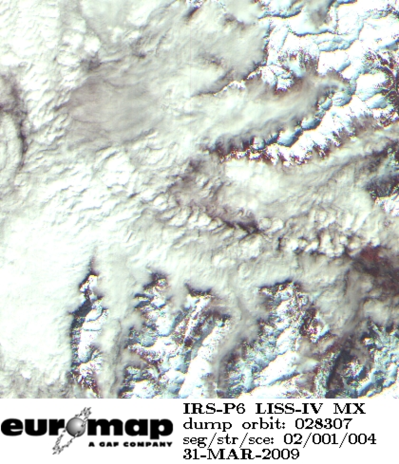
IRS-P6 Resourcesat-1 - Multispectral Images (LISS-IV) - Europe, Multispectral Mode
Indian Remote Sensing satellites (IRS) are a series of Earth Observation satellites, built, launched and maintained by Indian Space Research Organisation. The IRS series provides many remote sensing services to India and international ground stations.
With 5 m resolution and products covering areas up to 23.5 km x 23.5 km IRS LISS-IV multispectral data provide a cost effective solution for mapping tasks up to 1:25'000 scale.
INSPIRE
Identification
- File identifier
- f3865cc7-d9ce-43e5-802c-f115bcf8c67e XML
- Hierarchy level
- Series
Online resource
- Protocol
-
WWW:LINK-1.0-http--link
- Protocol
-
WWW:LINK-1.0-http--link
Resource identifier
- Metadata language
-
eng
- Spatial representation type
- Grid
Encoding
Projection
- code
-
WGS 84 (EPSG:4326)
Classification of data and services
- Topic category
-
- Imagery base maps earth cover
Classification of data and services
Coupled resource
Coupled resource
Classification of data and services
Coupled resource
Coupled resource
Keywords
-
GEMET - INSPIRE themes, version 1.0
-
-
Orthoimagery
-
Other keywords
- Keywords
-
-
urn:eop:DLR:EOWEB:IRS-P6.LISS-IV.P-MULTISPECTRAL
-
IRS-P6.LISS-IV.P
-
IRS-P6
-
Resourcesat-1
-
LISS-IV
-
multispectral
-
visible wavelengths
-
infrared wavelengths
-
FEDEO
-
Geographic coverage
))
Temporal reference
Temporal extent
- Begin
- 2004-01-29T10:46:00
- End
- 2009-01-31T10:32:00
Temporal extent
- Date (Creation)
- 2015-02-06T00:00:00
Quality and validity
- Lineage
-
For details see: https://www.euromap.de/site/index.html/
- Denominator
- 10000
Conformity
Conformity
Conformity
Conformity
Conformity
Conformity
- Explanation
-
See the referenced specification
Restrictions on access and use
- Access constraints
- Public access to spatial data sets and services would adversely affect intellectual property rights.
- Access constraints
-
Nutzungsbedingungen / Terms of Use: https://geoservice.dlr.de/resources/licenses/D-SDA_DataLicenseTerms.pdf
Responsible organization (s)
Contact for the resource
- Organisation name
-
GAF AG
- Organisation name
-
GAF AG
Responsible organization (s)
Contact for the resource
- Organisation name
-
GAF AG
- Organisation name
-
GAF AG
Metadata information
Contact for the metadata
- Organisation name
-
German Aerospace Center (DLR)
- Date stamp
- 2024-09-27T12:48:44
- Metadata language
- English
- Character set
- UTF8
SDS
Conformance class 1: invocable
Access Point URL
Endpoint URL
Technical specification
Conformance class 2: interoperable
Access constraints
Limitation
Use constraints
Limitation
Responsible custodian
Contact for the resource
Overviews

Spatial extent
Provided by
