 My GeoNetwork catalogue
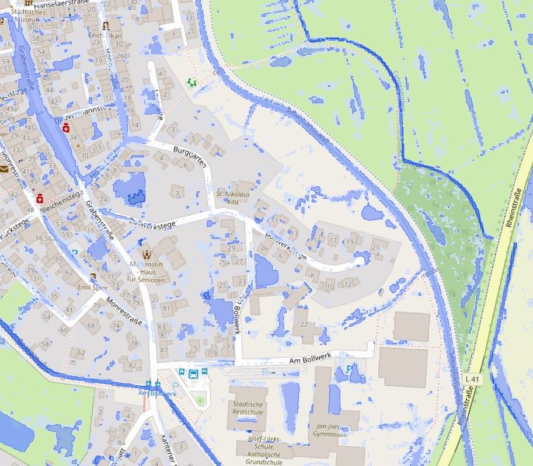
Starkregen Kalkar T=100a
Bei der Starkregenkarte T=100a im Bereich von Kalkar, handelt es sich um Simulationsergebnisse, in denen ein außergewöhnliches Starkregenereignis nach Euler Typ II aufzeigt wird, welches statistisch gesehen nur alle 100 Jahre auftritt.
Von Starkregen spricht man wenn, innerhalb kürzester Zeit, große Niederschlagsmengen fallen. Zudem kann langanhaltender Dauerregen, ebenfalls als Starkregen definiert werden.
INSPIRE
Identification
- File identifier
- f77b42fd-4d6a-435f-a628-159ae83b09eb XML
- Hierarchy level
- Dataset
Online resource
- Protocol
- OGC Web Map Service
Resource identifier
- Metadata language
- Deutsch
Encoding
Projection
Classification of data and services
- Topic category
-
- Planning cadastre
Classification of data and services
Coupled resource
Coupled resource
Classification of data and services
Coupled resource
Coupled resource
Keywords
-
UMTHES Thesaurus
-
GEMET - Concepts, version 3.1
Other keywords
- Keywords
-
-
Kreis Kleve
-
Kleve
-
NW
-
NRW
-
Nordrhein-Westfalen
-
Geoportal
-
Klimakarte
-
Kalkar
-
051540024024
-
opendata
-
- Theme
-
-
ENVI
-
SOCI
-
Geographic coverage
))
Temporal reference
Temporal extent
Temporal extent
- Date (Revision)
- 2023-05-04T00:00:00.000+02:00
Quality and validity
- Lineage
-
Starkregenanalyse
Conformity
Conformity
Conformity
Conformity
Conformity
Conformity
Restrictions on access and use
- Access constraints
-
Datenlizenz Deutschland – Zero – Version 2.0
- Access constraints
-
{"id":"dl-zero-de/2.0","name":"Datenlizenz Deutschland – Zero – Version 2.0","url":" https://www.govdata.de/dl-de/zero-2-0","quelle":""}
- Access constraints
- Es gelten keine Zugriffsbeschränkungen
Responsible organization (s)
Contact for the resource
- Organisation name
-
Kreis Kleve - Der Landrat
- Organisation name
-
Kreis Kleve - Abt. Kataster- und Vermessung - Produktbereich GeoInformation (GIS)
Responsible organization (s)
Contact for the resource
- Organisation name
-
Kreis Kleve - Der Landrat
- Organisation name
-
Kreis Kleve - Abt. Kataster- und Vermessung - Produktbereich GeoInformation (GIS)
Metadata information
Contact for the metadata
- Organisation name
-
Kreis Kleve - Abt. Kataster- und Vermessung - Produktbereich GeoInformation (GIS)
- Date stamp
- 2026-02-12
- Metadata language
- Deutsch
SDS
Conformance class 1: invocable
Access Point URL
Endpoint URL
Technical specification
Conformance class 2: interoperable
Access constraints
Limitation
Use constraints
Limitation
Responsible custodian
Contact for the resource
Overviews
Spatial extent

Provided by
