 www.geodatenkatalog.de (S3L)
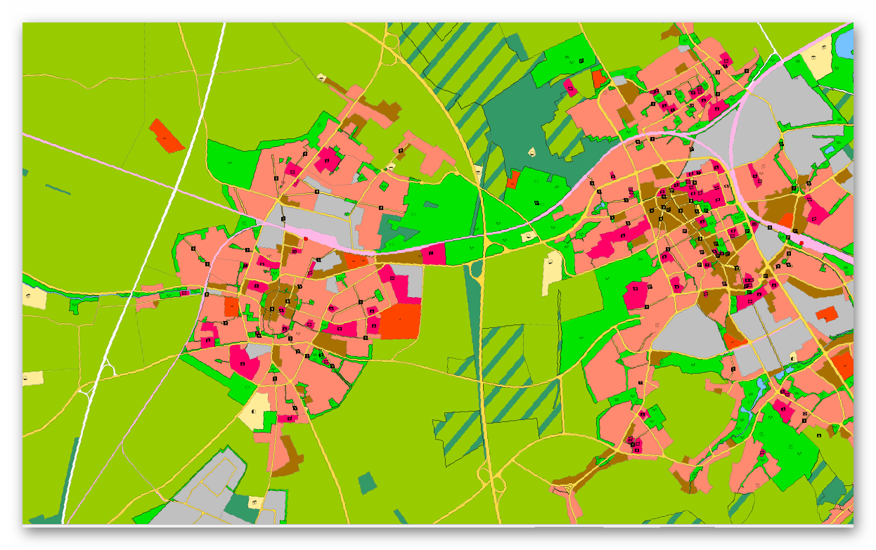
FNP Kreis Viersen
Hier erhalten Sie die Flächennutzungspläne von Niederkrüchten, Grefrath, Tönisvorst und Viersen. Der Flächennutzungsplan stellt die angestrebte Nutzung aller Flächen im Gemeindegebiet dar. Er bereitet die künftige Entwicklung des Gemeindegebietes vor, ohne dass er selbst Baurecht schafft. Durch eine Reihe bereits abgeschlossener Änderungsverfahren wird er an aktuelle Entwicklungen angepasst.
Der Flächennutzungsplan ist die Grundlage für die Aufstellung eines Bebauungsplans.
Die Dienste sind tagesaktuell.
|
|
Citation proposal
. FNP Kreis Viersen. Kreis Viersen https://gdk.gdi-de.org/geonetwork/srv/api/records/04a61ff2-5bad-423a-a813-014d3406c3a1 |
INSPIRE
Identification
- File identifier
- 04a61ff2-5bad-423a-a813-014d3406c3a1 XML
- Hierarchy level
- dataset Dataset
Online resource
Resource identifier
- Metadata language
- German
Encoding
Projection
Classification of data and services
- Topic category
-
- Planning cadastre
Classification of data and services
Coupled resource
Coupled resource
Classification of data and services
Coupled resource
Coupled resource
Keywords
Other keywords
- Keywords
-
- Grefrath
- Niederkrüchten
- Tönisvorst
- Viersen
- Kreis Viersen
- 05166000
- Flächennutzungplan
- Flächennutzungspläne
- Bauleitplan
- Ortsplanungsrecht
- FNP
- bauen
- opendata
- Keywords ( Theme )
-
- REGI
Geographic coverage
N
S
E
W
))
Temporal reference
Temporal extent
Temporal extent
- Date ( Creation )
- 2025-04-10T00:00:00.000+02:00
Quality and validity
- Lineage
- Ortsplanungsrecht der jeweiligen Kommune.
Conformity
Conformity
Conformity
Conformity
Conformity
Conformity
Restrictions on access and use
- Access constraints
- Datenlizenz Deutschland - Zero - Version 2.0 [https://www.govdata.de/dl-de/zero-2-0]
- Access constraints
- {"id":"dl-zero-de/2.0","name":"Datenlizenz Deutschland – Zero – Version 2.0","url":"https://www.govdata.de/dl-de/zero-2-0","quelle":""}
Restrictions on access and use
Responsible organization (s)
Contact for the resource
- Organisation name
- Kreis Viersen
- open@kreis-viersen.de
- Organisation name
- Kreis Viersen
- open@kreis-viersen.de
- Organisation name
- Kreis Viersen - Amt 62/1 - Geobasisdaten und GIS
- open@kreis-viersen.de
- Organisation name
- Gemeinde Grefrath
- info@grefrath.de
- Organisation name
- Gemeinde Niederkrüchten
- info@niederkruechten.de
- Organisation name
- Stadt Tönisvorst
- info@toenisvorst.de
- Organisation name
- Stadt Viersen
- stadt@viersen.de
Metadata information
Contact for the metadata
- Organisation name
- Kreis Viersen - Amt 62/1 - Geobasisdaten und GIS
- open@kreis-viersen.de
- Date stamp
- 2025-09-18
- Metadata language
- German
SDS
Conformance class 1: invocable
Access Point URL
Endpoint URL
Technical specification
Conformance class 2: interoperable
Coordinate reference system
Quality of Service
Access constraints
Limitation
Use constraints
Limitation
Responsible custodian
Contact for the resource
Conformance class 3: harmonized
Overviews
FNP
Provided by

Views
04a61ff2-5bad-423a-a813-014d3406c3a1
Access to the portal
Read here the full details and access to the data.
Associated resources
Not available