 www.geodatenkatalog.de (S3L)
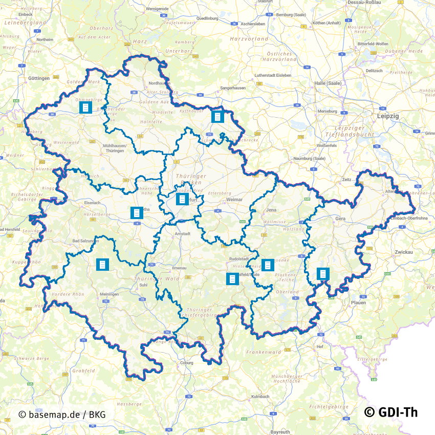
Gutachterausschüsse für Grundstückswerte in Thüringen
Aufgabe der Gutachterausschüsse für Grundstückswerte ist die amtliche Wertermittlung. Ziel ist die Schaffung der Transparenz des Grundstücksmarktes für alle Marktteilnehmer. Zu diesem Zweck wird eine Kaufpreissammlung geführt und ausgewertet, werden Bodenrichtwerte ermittelt und veröffentlicht, Berichte zum Grundstücksmarkt herausgegeben sowie auf Antrag Gutachten erstattet. Bei den Geschäftsstellen der Gutachterausschüsse können amtliche Bodenrichtwertauskünfte, Auskünfte aus der Kaufpreissammlung und die Erstattung von Verkehrswertgutachten beantragt werden.
|
|
Citation proposal
. Gutachterausschüsse für Grundstückswerte in Thüringen. https://gdk.gdi-de.org/geonetwork/srv/api/records/0a760f57-263c-4ce9-a3a3-09883e7c15b3 |
INSPIRE
Identification
- File identifier
- 0a760f57-263c-4ce9-a3a3-09883e7c15b3 XML
- Hierarchy level
- Dataset
Online resource
- Protocol
- OGC:WMS-http-get-map
- Protocol
- WWW:LINK-1.0-http--link
Resource identifier
- code
- 0a760f57-263c-4ce9-a3a3-09883e7c15b3
- Metadata language
- German
- Spatial representation type
- Vector
Encoding
- Format
- Version
- --
Projection
Classification of data and services
- Topic category
-
- Planning cadastre
Classification of data and services
Coupled resource
Coupled resource
Classification of data and services
Coupled resource
Coupled resource
Keywords
Other keywords
- Keywords
-
- Gutachterausschuss
- Verkehrswert
- Bodenrichtwerte
- opendata
- GOVE
- REGI
- JUST
- Kaufpreissammlung
- Thüringen
Geographic coverage
N
S
E
W
))
Temporal reference
Temporal extent
Temporal extent
- Date ( Revision )
- 2022-02-17
Quality and validity
- Lineage
- Die Zuständigkeiten sind im §1 der ThürGAVO definiert
- Distance
- 1 m
Conformity
Conformity
Conformity
Conformity
Conformity
Conformity
- Explanation
- Originäre Daten
Restrictions on access and use
- Access constraints
- Nutzungsbedingungen: Datenlizenz Deutschland-Namensnennung 2.0 in JSON Syntax
- Access constraints
- {"id": "dl-by-de/2.0", "name": "Datenlizenz Deutschland Namensnennung 2.0", "url": "https://www.govdata.de/dl-de/by-2-0 ", "quelle": "© GDI-Th"}
Restrictions on access and use
Responsible organization (s)
Contact for the resource
- Organisation name
- Thüringer Landesamt für Bodenmanagement und Geoinformation
Responsible organization (s)
Contact for the resource
- Organisation name
- Thüringer Landesamt für Bodenmanagement und Geoinformation
Metadata information
Contact for the metadata
- Organisation name
- Thüringer Landesamt für Bodenmanagement und Geoinformation
- Date stamp
- 2024-05-29T11:02:30
- Metadata language
- German
SDS
Conformance class 1: invocable
Access Point URL
Endpoint URL
Technical specification
Conformance class 2: interoperable
Coordinate reference system
Quality of Service
Access constraints
Limitation
Use constraints
Limitation
Responsible custodian
Contact for the resource
Conformance class 3: harmonized
Overviews
Vorschaubild
Provided by

Views
0a760f57-263c-4ce9-a3a3-09883e7c15b3
Access to the portal
Read here the full details and access to the data.
Associated resources
Not available