 www.geodatenkatalog.de (S1L)
WFS Bodenschätzung Kreis Viersen
Das ALKIS (Amtliches Liegenschaftskatasterinformationssystem) stellt mit seinen Flurstücken, Gebäuden, Nutzungsarten, Bodenschätzungen, Grenzpunkten und der Topographie den wesentlichen Anteil der Geobasisdaten dar.
Dieser WFS beinhaltet die Bodenschätzungsflächen im Kreis Viersen.
Der Dienst ist tagesaktuell.
|
|
Citation proposal
. WFS Bodenschätzung Kreis Viersen. Kreis Viersen https://gdk.gdi-de.org/geonetwork/srv/api/records/0e23b7ae-cde7-4143-802e-d70a3d7963f5 |
INSPIRE
Identification
- File identifier
- 0e23b7ae-cde7-4143-802e-d70a3d7963f5 XML
- Hierarchy level
- service Service
Online resource
Resource identifier
Encoding
Projection
Classification of data and services
Classification of data and services
- Service Type
- download
- Coupling Type
- Tight
Coupled resource
Coupled resource
Classification of data and services
- Service Type
- download
- Coupling Type
- Tight
Coupled resource
Coupled resource
Keywords
- Service Classification, version 1.0 ( Theme )
-
- infoFeatureAccessService
Other keywords
- Keywords
-
- Brüggen
- Grefrath
- Kempen
- Nettetal
- Niederkrüchten
- Schwalmtal
- Tönisvorst
- Viersen
- Willich
- Kreis Viersen
- 05166000
- Bodenschätzung
Geographic coverage
N
S
E
W
))
Temporal reference
Temporal extent
Temporal extent
- Date ( Creation )
- 2025-02-20T00:00:00.000+01:00
Quality and validity
Conformity
Conformity
Conformity
Conformity
Conformity
Conformity
Restrictions on access and use
Restrictions on access and use
- Access constraints
- Datenlizenz Deutschland - Zero - Version 2.0 [https://www.govdata.de/dl-de/zero-2-0]
- Access constraints
- {"id":"dl-zero-de/2.0","name":"Datenlizenz Deutschland – Zero – Version 2.0","url":"https://www.govdata.de/dl-de/zero-2-0","quelle":""}
Responsible organization (s)
Contact for the resource
- Organisation name
- Kreis Viersen
- open@kreis-viersen.de
- Organisation name
- Kreis Viersen - Amt 62/1 - Geobasisdaten und GIS
- open@kreis-viersen.de
- Organisation name
- Kommunales Rechenzentrum Niederrhein (KRZN)
- geoservices@krzn.de
Responsible organization (s)
Contact for the resource
- Organisation name
- Kreis Viersen
- open@kreis-viersen.de
- Organisation name
- Kreis Viersen - Amt 62/1 - Geobasisdaten und GIS
- open@kreis-viersen.de
- Organisation name
- Kommunales Rechenzentrum Niederrhein (KRZN)
- geoservices@krzn.de
Metadata information
Contact for the metadata
- Organisation name
- Kreis Viersen - Amt 62/1 - Geobasisdaten und GIS
- open@kreis-viersen.de
- Date stamp
- 2025-10-02
- Metadata language
- German
SDS
Conformance class 1: invocable
Access Point URL
Endpoint URL
Technical specification
Conformance class 2: interoperable
Coordinate reference system
Quality of Service
Access constraints
- Access constraints
- otherRestrictions Other restrictions
Limitation
Use constraints
Limitation
- string
- Datenlizenz Deutschland - Zero - Version 2.0 [https://www.govdata.de/dl-de/zero-2-0]
- string
- {"id":"dl-zero-de/2.0","name":"Datenlizenz Deutschland – Zero – Version 2.0","url":"https://www.govdata.de/dl-de/zero-2-0","quelle":""}
Responsible custodian
Contact for the resource
Conformance class 3: harmonized
Contains Operations
- Operation Name
- GetCapabilities
- Distributed Computing Platforms
- Web services
Contains Operations
- Operation Name
- DescribeFeatureType
- Distributed Computing Platforms
- Web services
Contains Operations
- Operation Name
- GetFeature
- Distributed Computing Platforms
- Web services
Overviews
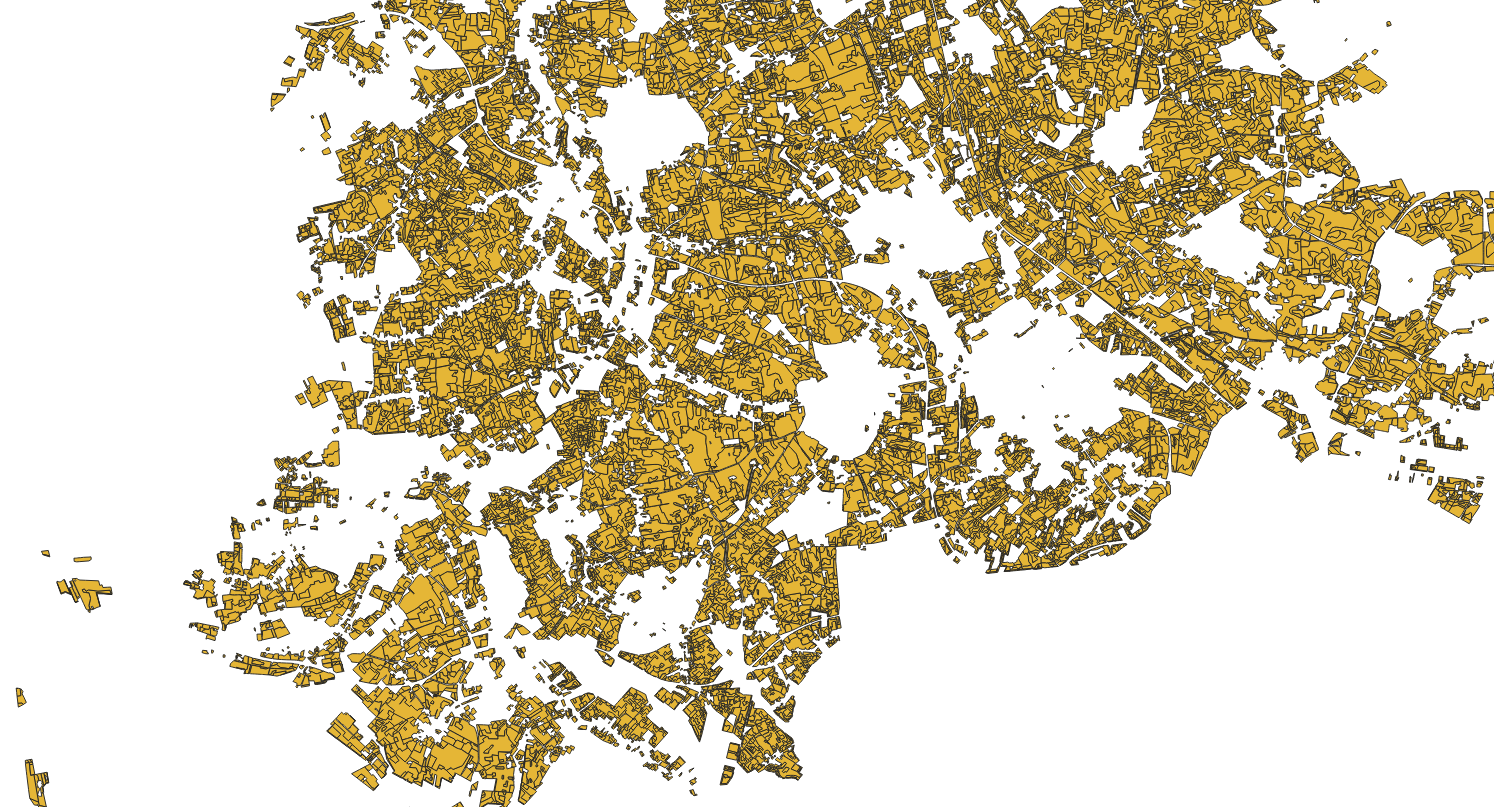
Bodenschätzung
Provided by

Views
0e23b7ae-cde7-4143-802e-d70a3d7963f5
Access to the portal
Read here the full details and access to the data.
Associated resources
Not available