 www.geodatenkatalog.de (S2L)
Gewässerrandstreifen - WMS
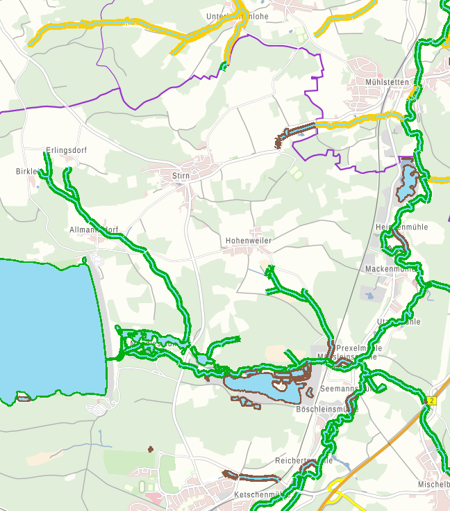
Das Volksbegehren „Artenvielfalt und Naturschönheit in Bayern – Rettet die Bienen“ hat zum 1. August 2019 zu einer Änderung des Bayerischen Naturschutzgesetzes (BayNatSchG) geführt. Infolge dessen müssen Gewässerrandstreifen an natürlichen und naturnahen Gewässern angelegt werden, in denen ein Verbot der garten- oder ackerbaulichen Nutzung gilt. Zusätzlich wurden die Gewässer, für die ggf. ein Gewässerrandstreifen aufgrund der Hangneigung anzulegen ist (§38a WHG) kenntlich gemacht. Die Gewässer werden in drei Kategorien („[Gewässerrandstreifen] erforderlich nach Art. 16 BayNatSchG, ggf. erforderlich nach §38a WHG je nach Hangneigung“, "ggf. erforderlich nach §38a WHG je nach Hangneigung" und „in Überprüfung“) dargestellt. Die Gewässerkulisse wird mit Fortschreiten der Gewässerüberprüfung jährlich zum 01. Juli aktualisiert. Maximale Bildgröße: 4096x4096Pixel.
|
|
Citation proposal
. Gewässerrandstreifen - WMS. https://gdk.gdi-de.org/geonetwork/srv/api/records/0f746ceb-f84c-4d51-b745-1082c73ffb55 |
- Identification
- Distribution
- Quality
- Spatial rep.
- Ref. system
- Content
- Portrayal
- Metadata
- Md. constraints
- Md. maintenance
- Schema info
Identification
Identification info
Service Identification (19119)
Citation
- Alternate title
- Wasser
- Date ( Creation )
- 2020-09-10T00:00:00.000+02:00
- Status
- On going
Point of contact
- Website
- https://www.lfu.bayern.de
Distributor
- Website
- https://www.lfu.bayern.de
Maintenance information
- Maintenance and update frequency
- As needed
- Update scope
- Service
- Service Classification, version 1.0 ( Theme )
-
- infoMapAccessService
- Keywords
-
- gdiby
- Gewässerrandstreifen
- Fließgewässer
- Standgewässer
- Gewässerschutz
- Use limitation
- keine Einschränkungen
Legal constraints
- Use constraints
- Other restrictions
- Other constraints
- Creative Commons Namensnennung - Weitergabe unter gleichen Bedingungen 4.0 International (CC BY-SA 4.0); Datenquelle: Bayerisches Landesamt für Umwelt, www.lfu.bayern.de
- Other constraints
- {"id":"cc-by-sa/4.0","name":"Creative Commons Namensnennung - Weitergabe unter gleichen Bedingungen 4.0 International (CC BY-SA 4.0)","url":"https://creativecommons.org/licenses/by-sa/4.0/deed.de","quelle":"Bayerisches Landesamt für Umwelt, www.lfu.bayern.de"}
Legal constraints
- Access constraints
- otherRestrictions Other restrictions
- Service Type
- view
- Service Version
- OGC:WMS 1.3.0
Extent
- Description
- Der Dienst ist begrenzt auf die Landesfläche Bayerns.
N
S
E
W
))
Coupled Resource
- Operation Name
- GetCapabilities
Coupled Resource
- Operation Name
- GetMap
Coupled Resource
- Operation Name
- GetFeatureInfo
Coupled Resource
- Operation Name
- esri_wms:GetStyles
Coupled Resource
- Operation Name
- GetCapabilities
Coupled Resource
- Operation Name
- GetMap
Coupled Resource
- Operation Name
- GetFeatureInfo
Coupled Resource
- Operation Name
- esri_wms:GetStyles
- Coupling Type
- Tight
Contains Operations
- Operation Name
- GetCapabilities
- Distributed Computing Platforms
- Web services
- Operation Description
- application/vnd.ogc.wms_xml; text/xml;
Contains Operations
- Operation Name
- GetMap
- Distributed Computing Platforms
- Web services
- Operation Description
- image/bmp; image/jpeg; image/tiff; image/png; image/png8; image/png24; image/png32; image/gif; image/svg+xml;
Contains Operations
- Operation Name
- GetFeatureInfo
- Distributed Computing Platforms
- Web services
- Operation Description
- application/vnd.esri.wms_raw_xml; application/vnd.esri.wms_featureinfo_xml; application/vnd.ogc.wms_xml; application/geojson; text/xml; text/html; text/plain;
Contains Operations
- Operation Name
- esri_wms:GetStyles
- Distributed Computing Platforms
- Web services
- Operation Description
- application/vnd.ogc.sld+xml;
Distribution
Distribution
- Distribution format
-
- Sonstiges ()
Distributor
Distributor
- Website
- https://www.lfu.bayern.de
- Fees
- geldleistungsfrei
- OnLine resource
-
URL des Dienstes
URL zum Aufruf des WMS: Gewässerrandstreifen
- OnLine resource
-
Datendokumentation mit Attributbeschreibung
Datendokumentation mit Attributbeschreibung
- OnLine resource
-
Dienst "Gewässerrandstreifen - WMS" (GetCapabilities)
application/vnd.ogc.wms_xml; text/xml;
Metadata
Metadata
- File identifier
- 0f746ceb-f84c-4d51-b745-1082c73ffb55 XML
- Metadata language
- German
- Character set
- UTF8
- Hierarchy level
- service Service
- Hierarchy level name
- service
- Date stamp
- 2024-06-28
- Metadata standard name
- ISO19119
- Metadata standard version
- 2005/PDAM 1
Point of contact
- Website
- https://www.lfu.bayern.de
Overviews
Provided by

Views
0f746ceb-f84c-4d51-b745-1082c73ffb55
Access to the portal
Read here the full details and access to the data.
Associated resources
Not available