 www.geodatenkatalog.de (S3L)
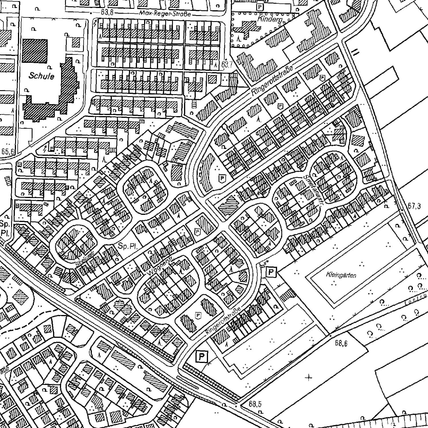
Deutsche Grundkarte 1:5000 DGK5 (Kreis Recklinghausen / Rasterdaten)
Die Deutsche Grundkarte 1:5000 (DGK5) war bis Februar 2016 das topographische Basiskartenwerk in Nordrhein-Westfalen. Sie wird durch die Amtliche Basiskarte 1:5000 (ABK) abgelöst. Aufgrund des Erlasses zur Zukunft des Kartenmaßstabes 1:5.000 des Ministeriums für Inneres und Kommunales vom 23. Februar 2016 sind die Katasterbehörden nicht mehr verpflichtet, die Deutsche Grundkarte 1:5.000 fortzuführen. Der Kreis Recklinghausen führt das Kartenwerk jedoch zum Teil noch weiter fort. Die Daten werden jedoch ausdrücklich als historische Geobasisdaten zur Verfügung gestellt.
|
|
Citation proposal
(2017) . Deutsche Grundkarte 1:5000 DGK5 (Kreis Recklinghausen / Rasterdaten). https://gdk.gdi-de.org/geonetwork/srv/api/records/12eb20c0-da74-406b-8c46-5d365d7c6207 |
INSPIRE
Identification
- File identifier
- 12eb20c0-da74-406b-8c46-5d365d7c6207 XML
- Hierarchy level
- Dataset
Online resource
- Protocol
- OGC:WMS-1.3.0-http-get-map
Resource identifier
- Metadata language
- ger
- Spatial representation type
- Grid
Encoding
- Format
- TIFF
- Version
Projection
- code
- EPSG 25832
Classification of data and services
- Topic category
-
- Planning cadastre
Classification of data and services
Coupled resource
Coupled resource
Classification of data and services
Coupled resource
Coupled resource
Keywords
- High-value dataset categories ( Theme )
-
- Georaum
- GovData ( Theme )
-
- Geographie, Geologie und Geobasisdaten
- Region ( Place )
-
- Kreis Recklinghausen
- GEMET ( Theme )
-
- Karte
Other keywords
- Keywords ( Theme )
-
- opendata
- Deutsche Grundkarte
- DGK5
Geographic coverage
N
S
E
W
))
Temporal reference
Temporal extent
Temporal extent
- Date ( Publication )
- 2017-06-20T13:15:00
- Date ( Revision )
- 2020-06-02T14:00:00
Quality and validity
- Lineage
- Die hier vorliegenden Deutschen Grundkarten sind historisch.
- Denominator
- 5000
Conformity
Conformity
Conformity
Conformity
Conformity
Conformity
Restrictions on access and use
- Access constraints
-
Nutzungsbedingungen: Der Dienst wird unter der „Datenlizenz Deutschland – Zero - Version 2.0“ zur Verfügung gestellt.
(https://www.govdata.de/dl-de/zero-2-0)
Restrictions on access and use
Responsible organization (s)
Contact for the resource
- Organisation name
- Kreisverwaltung Recklinghausen
- Organisation name
- Kreisverwaltung Recklinghausen
Responsible organization (s)
Contact for the resource
- Organisation name
- Kreisverwaltung Recklinghausen
- Organisation name
- Kreisverwaltung Recklinghausen
Metadata information
Contact for the metadata
- Organisation name
- Kreisverwaltung Recklinghausen
- Date stamp
- 2025-07-17T05:06:02.241Z
- Metadata language
- German
- Character set
- UTF8
SDS
Conformance class 1: invocable
Access Point URL
Endpoint URL
Technical specification
Conformance class 2: interoperable
Coordinate reference system
Quality of Service
Access constraints
Limitation
Use constraints
Limitation
Responsible custodian
Contact for the resource
Conformance class 3: harmonized
Overviews
Provided by

Views
12eb20c0-da74-406b-8c46-5d365d7c6207
Access to the portal
Read here the full details and access to the data.
Associated resources
Not available