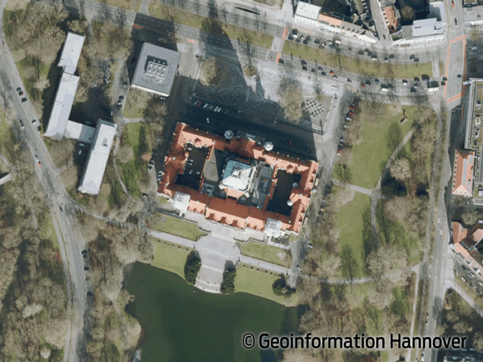
Digitale Orthophotos (DOP) der Landeshauptstadt Hannover (Open GeoData, Download)
Jedes zweite Jahr wird im Frühjahr das gesamte Stadtgebiet der Landeshauptstadt Hannover zur Herstellung
digitaler Orthophotos beflogen. Die digitalen Orthophotos sind maßstabstreu und können direkt mit
Karten gleichen Maßstabs verglichen oder mit Fachdaten digital zusammengeführt und überlagert werden.
|
|
Citation proposal
(2022) . Digitale Orthophotos (DOP) der Landeshauptstadt Hannover (Open GeoData, Download). https://gdk.gdi-de.org/geonetwork/srv/api/records/1fb7da68-d01b-4373-aec6-0a02b6623584 |
INSPIRE
Identification
- File identifier
- 1fb7da68-d01b-4373-aec6-0a02b6623584 XML
- Hierarchy level
- Dataset
Online resource
- Protocol
- WWW:LINK-1.0-http--link
- Protocol
- WWW:LINK-1.0-http--link
- Protocol
- WWW:LINK-1.0-http--link
- Protocol
- WWW:LINK-1.0-http--link
- Protocol
- WWW:LINK-1.0-http--link
- Protocol
- WWW:LINK-1.0-http--link
- Protocol
- WWW:LINK-1.0-http--link
- Protocol
- WWW:LINK-1.0-http--link
Resource identifier
- code
- ff3cc7a5-0bd6-4652-8765-e32d9a4fbab7
- Metadata language
- ger
- Spatial representation type
- Grid
Encoding
- Format
- JPEG
- Version
- 1
Projection
- code
- ETRS89 / UTM zone 32N (EPSG:25832)
Classification of data and services
- Topic category
-
- Imagery base maps earth cover
Classification of data and services
Coupled resource
Coupled resource
Classification of data and services
Coupled resource
Coupled resource
Keywords
- GEMET - INSPIRE themes, version 1.0 ( Theme )
-
- Orthofotografie
- GEMET - Themes, version 4.0.1 ( Theme )
-
- Luftbild
Other keywords
- Keywords ( Theme )
-
- Luftbilder
- DOP
- Orthophoto
- Geografie
- Keywords ( Place )
-
- Hannover
Geographic coverage
N
S
E
W
))
Temporal reference
Temporal extent
Temporal extent
- Date ( Publication )
- 2022-01-17
- Date ( Creation )
- 2021-02-24
Quality and validity
- Lineage
- Bildflug
Conformity
Conformity
Conformity
Conformity
Conformity
Conformity
Restrictions on access and use
- Access constraints
- Creative Commons Namensnennung 4.0 DE
Restrictions on access and use
Responsible organization (s)
Contact for the resource
- Organisation name
- Landeshauptstadt Hannover, Bereich Geoinformation
- Organisation name
- Landeshauptstadt Hannover, Bereich Geoinformation
- 61.22@Hannover-Stadt.de
Responsible organization (s)
Contact for the resource
- Organisation name
- Landeshauptstadt Hannover, Bereich Geoinformation
- Organisation name
- Landeshauptstadt Hannover, Bereich Geoinformation
- 61.22@Hannover-Stadt.de
Metadata information
Contact for the metadata
- Organisation name
- Landeshauptstadt Hannover, Bereich Geoinformation
- 61.22@hannover-Stadt.de
- Date stamp
- 2023-05-15T12:59:43
- Metadata language
- German
- Character set
- UTF8
SDS
Conformance class 1: invocable
Access Point URL
Endpoint URL
Technical specification
Conformance class 2: interoperable
Coordinate reference system
Quality of Service
Access constraints
Limitation
Use constraints
Limitation
Responsible custodian
Contact for the resource
Conformance class 3: harmonized
Overviews

Provided by

Views
1fb7da68-d01b-4373-aec6-0a02b6623584
Access to the portal
Read here the full details and access to the data.
Associated resources
Not available
 www.geodatenkatalog.de (S2L)