 www.geodatenkatalog.de (S1L)
WMS Notfallanlaufstellen KLE KR VIE WES
Der WMS (Web Map Service) ist eine standardisierte Schnittstelle zur Bereitstellung von Kartenausschnitten im Rasterformat. An einen WMS können mit verschiedenen Operationen (siehe Abschnitt Fachinformationen) Anfragen versendet werden. Üblicherweise übernimmt dies ein Geoinformationssystem, in welches die URL des WMS eingebunden wird.
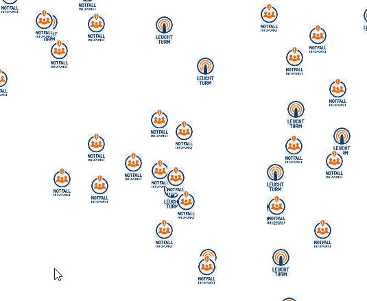
Im Falle eines Notfalls, wie etwa eines langanhaltenden und flächendeckenden Stromausfalls in folge dessen es zu einem Telekommunikationsausfalls kommt, gibt es in Städten und Kommunen, Anlaufstellen für alle Hilfesuchenden Bürgerinnen und Bürger.
Es handelt sich unter anderem um Leuchttürme, welche mit Notstrom versorgt werden und als Verbindungsstellen zwischen den Hilfesuchenden und den Leitstellen fungieren.
Notfall-Infopunkte dienen den Bürgerinnen und Bürgern als Informationsquelle.
Sollte es zum Ausfall der Notrufnummern kommen, dienen unter anderem die personell besetzten Feuerwehrgerätehäuser als Notrufstellen für die Bevölkerung.
|
|
Citation proposal
(2023) . WMS Notfallanlaufstellen KLE KR VIE WES. Kreis Kleve - Der Landrat - Kreis Viersen - Stadt Krefeld - Kreis Wesel https://gdk.gdi-de.org/geonetwork/srv/api/records/237c2ba5-90c5-4d5f-9bf0-ed143521024a |
INSPIRE
Identification
- File identifier
- 237c2ba5-90c5-4d5f-9bf0-ed143521024a XML
- Hierarchy level
- service Service
Online resource
Resource identifier
Encoding
Projection
Classification of data and services
Classification of data and services
- Service Type
- view
- Coupling Type
- Tight
Coupled resource
Coupled resource
Classification of data and services
- Service Type
- view
- Coupling Type
- Tight
Coupled resource
Coupled resource
Keywords
- Service Classification, version 1.0 ( Theme )
-
- infoFeatureAccessService
- infoMapAccessService
Other keywords
- Keywords
-
- Bedburg-Hau
- Brüggen
- Emmerich am Rhein
- Geldern
- Goch
- Issum
- Kalkar
- Kempen
- Kerken
- Kevelaer
- Kleve
- Kranenburg
- Rheurdt
- Rees
- Straelen
- Uedem
- Voerde
- Wachtendonk
- Weeze
- Xanten
- Kreis
- Gemeinde
- Kreis Kleve
- Emmerich
- Wallfahrtsstadt Kevelaer
- NW
- NRW
- Nordrhein-Westfalen
- 05154
- Notfall
- Notfallanlaufstellen
- Leuchttürme
- Leuchtturm
- Notfall-Infopunkt
- Notfallinfopunkt
- Notrufstelle
- Blackout
- Stromausfall
- Krefeld
- Kreis Wesel
- Alpen
- Dinslaken
- Hamminkeln
- Hünxe
- Kamp-Lintfort
- Moers
- Neukirchen-Vluyn
- Rheinberg
- Schermbeck
- Sonsbeck
- Wesel
- Kreis Viersen
- Grefrath
- Nettetal
- Niederkrüchten
- Schwalmtal
- Tönisvorst
- Viersen
- Willich
- 05166000
Geographic coverage
Temporal reference
Temporal extent
Temporal extent
- Date ( Publication )
- 2023-06-30T00:00:00.000+02:00
Quality and validity
Conformity
Conformity
Conformity
Conformity
Conformity
Conformity
Restrictions on access and use
Restrictions on access and use
- Access constraints
- Datenlizenz Deutschland - Zero - Version 2.0 [https://www.govdata.de/dl-de/zero-2-0]
- Access constraints
- {"id":"dl-zero-de/2.0","name":"Datenlizenz Deutschland – Zero – Version 2.0","url":"https://www.govdata.de/dl-de/zero-2-0","quelle":""}
Responsible organization (s)
Contact for the resource
- Organisation name
- Kreis Kleve - Der Landrat
- info@kreis-kleve.de
- Organisation name
- Kommunales Rechenzentrum Niederrhein (KRZN)
- geoservices@krzn.de
- Organisation name
- Kreis Kleve - Abt. Kataster- und Vermessung - Produktbereich GeoInformation (GIS)
- Organisation name
- Kreis Viersen
- open@kreis-viersen.de
- Organisation name
- Kreis Viersen - Amt 62/1 - Geobasisdaten und GIS
- open@kreis-viersen.de
- Organisation name
- Stadt Krefeld
- feuerwehr@krefeld.de
- Organisation name
- Stadt Krefeld
- gis@krefeld.de
- Organisation name
- Kreis Wesel
- post@kreis-wesel.de
- Organisation name
- Kreis Wesel - FD 32-1-1 Gefahrenabwehr und allgemeine Ordnungsangelegenheiten
Metadata information
Contact for the metadata
- Organisation name
- Kreis Kleve - Abt. Kataster- und Vermessung - Produktbereich GeoInformation (GIS)
- Date stamp
- 2025-07-08
- Metadata language
- German
SDS
Conformance class 1: invocable
Access Point URL
Endpoint URL
Technical specification
Conformance class 2: interoperable
Coordinate reference system
Quality of Service
Access constraints
- Access constraints
- otherRestrictions Other restrictions
Limitation
Use constraints
Limitation
- string
- Datenlizenz Deutschland - Zero - Version 2.0 [https://www.govdata.de/dl-de/zero-2-0]
- string
- {"id":"dl-zero-de/2.0","name":"Datenlizenz Deutschland – Zero – Version 2.0","url":"https://www.govdata.de/dl-de/zero-2-0","quelle":""}
Responsible custodian
Contact for the resource
Conformance class 3: harmonized
Contains Operations
- Operation Name
- GetCapabilities
- Distributed Computing Platforms
- Web services
Contains Operations
- Operation Name
- GetMap
- Distributed Computing Platforms
- Web services
Contains Operations
- Operation Name
- GetFeatureInfo
- Distributed Computing Platforms
- Web services
Overviews
Provided by
