 www.geodatenkatalog.de (S1L)
ALKIS - Amtliches Liegenschaftskatasterinformationssystem
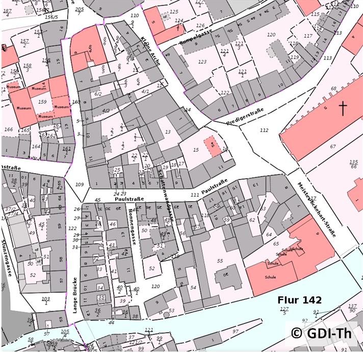
Das Amtliche Liegenschaftskatasterinformationssystem (ALKIS) ist ein Produkt der Arbeitsgemeinschaft der Vermessungsverwaltungen der Länder der Bundesrepublik Deutschland (AdV). In ALKIS wurden die bisher getrennt geführten Daten des Automatisierten Liegenschaftsbuchs (ALB) und der Automatisierten Liegenschaftskarte (ALK-Punktdatei, ALK-Grundrissdatei) in einem Informationssystem migriert. ALKIS ist nunmehr das amtliche Liegenschaftskatasterinformationssystem. Die wesentlichen Bausteine des Programmsystems für ALKIS bilden die Erfassungs- und Qualifizierungskomponente (EQK), die Datenhaltungskomponente (DHK) und die Ausgabe- und Präsentationskomponente (APK).
|
|
Citation proposal
. ALKIS - Amtliches Liegenschaftskatasterinformationssystem. https://gdk.gdi-de.org/geonetwork/srv/api/records/33c5e445-e8eb-426b-a174-d77284d76dc9 |
INSPIRE
Identification
- File identifier
- 33c5e445-e8eb-426b-a174-d77284d76dc9 XML
- Hierarchy level
- Dataset
Online resource
- Protocol
- WWW:LINK-1.0-http--link
- Protocol
- WWW:LINK-1.0-http--link
- Protocol
- WWW:LINK-1.0-http--link
- Protocol
- WWW:DOWNLOAD-1.0-http--download
- Protocol
- WWW:LINK-1.0-http--download
- Protocol
- WWW:LINK-1.0-http--download
- Protocol
- OGC:WMS-http-get-map
Resource identifier
- Metadata language
- German
- Spatial representation type
- Vector
Encoding
- Format
- NAS, SHAPE, TIFF
- Version
- 1
Projection
Classification of data and services
- Topic category
-
- Transportation
- Structure
- Planning cadastre
- Location
- Inland waters
- Boundaries
Classification of data and services
Coupled resource
Coupled resource
Classification of data and services
Coupled resource
Coupled resource
Keywords
- GEMET - INSPIRE themes, version 1.0 ( Theme )
-
- Verkehrsnetze
- Flurstücke/Grundstücke (Katasterparzellen)
- Gewässernetz
- Bodennutzung
- Gebäude
- Verwaltungseinheiten
- Adressen
- Spatial scope ( Theme )
-
- Regional
Other keywords
- Keywords
-
- Liegenschaftskarte
- GK4
- Geoproxy
- Kataster
- Geobasisdaten
- Grundstück
- AdVMIS
- Vektoren
- ALKIS
- GOVE
- opendata
- inspireidentifiziert
Geographic coverage
N
S
E
W
))
Temporal reference
Temporal extent
Temporal extent
- Date ( Creation )
- 2014-04-01
Quality and validity
- Lineage
- Migration von ALK und ALB
- Denominator
- 500
Conformity
Conformity
Conformity
Conformity
Conformity
Conformity
- Explanation
- Getestet mit der GDI - DE Testsuite
- Explanation
- Getestet mit der GDI - DE Testsuite
Restrictions on access and use
- Access constraints
- Datensatz ohne Eigentümerangaben. Es gelten die Lizenzbedingungen „Datenlizenz Deutschland - Namensnennung - Version 2.0“ bzw. „dl-de/by-2-0” (https://www.govdata.de/dl-de/by-2-0) mit den dort geforderten Angaben zum Quellenvermerk. Als Rechteinhaber und Bereitsteller ist die Datenhaltende Stelle, sowie das Jahr des Datenbezugs in Klammern anzugeben. Beispiel für Quellenvermerk: GDI-Th (2021) Datenlizenz Deutschland - Namensnennung - Version 2.0 (www.govdata.de/dl-de/by-2-0).
- Access constraints
-
{
"id": "dl-by-de/2.0",
"name": "Datenlizenz Deutschland Namensnennung 2.0",
"url": "https://www.govdata.de/dl-de/by-2-0",
"quelle": "© GDI-Th"
}
Restrictions on access and use
Responsible organization (s)
Contact for the resource
- Organisation name
- Thüringer Landesamt für Bodenmanagement und Geoinformation
Responsible organization (s)
Contact for the resource
- Organisation name
- Thüringer Landesamt für Bodenmanagement und Geoinformation
Metadata information
Contact for the metadata
- Organisation name
- Thüringer Landesamt für Bodenmanagement und Geoinformation
- Date stamp
- 2025-05-27T09:45:26
- Metadata language
- German
SDS
Conformance class 1: invocable
Access Point URL
Endpoint URL
Technical specification
Conformance class 2: interoperable
Coordinate reference system
Quality of Service
Access constraints
Limitation
Use constraints
Limitation
Responsible custodian
Contact for the resource
Conformance class 3: harmonized
Overviews
Provided by

Views
33c5e445-e8eb-426b-a174-d77284d76dc9
Access to the portal
Read here the full details and access to the data.
Associated resources
Not available