 www.geodatenkatalog.de (S3L)
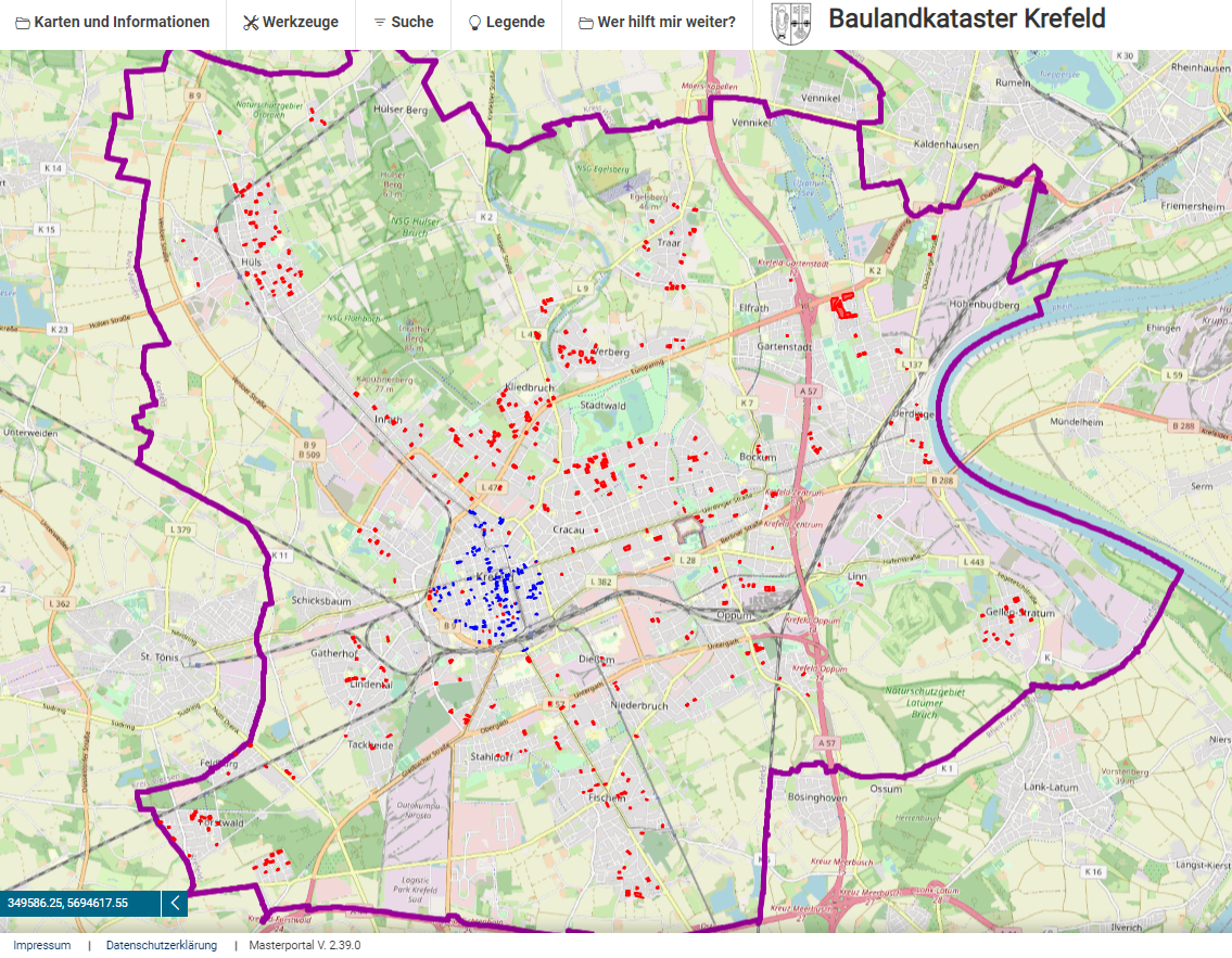
Geoportal Baulandkataster Krefeld
Das Geoportal Baulandkataster Krefeld bietet Ihnen die gezielte Suche nach Grundstücken aus dem Baulandkataster Krefeld. Die Grundstücke können gezielt nach dem Stadtteil, der Eigentumsart sowie der Flächengröße gefiltert werden. Die Fachinformationen können flexibel vor unterschiedlichen Hintergrundkarten wie der Liegenschaftskarte, der OpenStreetMap oder Luftbildern eingeblendet werden. Einzelne Hintergrundkarten und Fachdaten sind nur in bestimmten Maßstabsbereichen sichtbar. Das Geoportal enthält Werkzeuge für das Suchen, Messen, Abfragen von Fachinformationen, Datenimport, Drucken sowie der Erstellung von Listen.
Die Angaben werden ohne Gewähr auf Richtigkeit gemacht. Eine Garantie auf Bebaubarkeit der Grundstücke wird mit dem Hinweis im Baulandkataster nicht gegeben. Weitergehende Informationen zu den Flächen sind nicht enthalten. Eigentümer können gegen die Darstellung Ihrer Grundstücke im Baulandkataster Widerspruch einlegen.
|
|
Citation proposal
(2024) . Geoportal Baulandkataster Krefeld. Stadt Krefeld https://gdk.gdi-de.org/geonetwork/srv/api/records/35bc56eb-b2ab-4eb4-bac0-55e6d2d84346 |
INSPIRE
Identification
- File identifier
- 35bc56eb-b2ab-4eb4-bac0-55e6d2d84346 XML
- Hierarchy level
- application application
Online resource
Resource identifier
- Metadata language
- German
Encoding
Projection
Classification of data and services
Classification of data and services
Coupled resource
Coupled resource
Classification of data and services
Coupled resource
Coupled resource
Keywords
- UMTHES Thesaurus ( Theme )
- GEMET - Concepts, version 3.1 ( Theme )
Other keywords
- Keywords
-
- Geoportal
- Geoportal Krefeld
- Geoanwendung
- Anwendung
- Messen
- Koordinaten
- Abfrage
- KRZN
- Kommunales Rechenzentrum Niederrhein
- Baulücke
- bebaubar
- mindergenutzt
Geographic coverage
))
Temporal reference
Temporal extent
Temporal extent
- Date ( Publication )
- 2024-07-05T00:00:00.000+02:00
Quality and validity
Conformity
Conformity
Conformity
Conformity
Conformity
Conformity
Restrictions on access and use
Restrictions on access and use
Responsible organization (s)
Contact for the resource
- Organisation name
- Stadt Krefeld
- gis@krefeld.de
- Organisation name
- Kommunales Rechenzentrum Niederrhein (KRZN)
- geoservices@krzn.de
- Organisation name
- Stadt Krefeld
- fb61@krefeld.de
Responsible organization (s)
Contact for the resource
- Organisation name
- Stadt Krefeld
- gis@krefeld.de
- Organisation name
- Kommunales Rechenzentrum Niederrhein (KRZN)
- geoservices@krzn.de
- Organisation name
- Stadt Krefeld
- fb61@krefeld.de
Metadata information
Contact for the metadata
- Organisation name
- Stadt Krefeld
- gis@krefeld.de
- Date stamp
- 2024-08-29
- Metadata language
- German
SDS
Conformance class 1: invocable
Access Point URL
Endpoint URL
Technical specification
Conformance class 2: interoperable
Coordinate reference system
Quality of Service
Access constraints
Limitation
Use constraints
Limitation
Responsible custodian
Contact for the resource
Conformance class 3: harmonized
Overviews
Provided by
