 www.geodatenkatalog.de (S1L)
ATKIS - DTK25
Digitale Topographische Karten (DTK) sind aus Digitalen Landschafts- und Geländemodellen erzeugte topographische Karten im Rasterformat. Die Rasterdaten sind nach kartographischen Inhaltselementen in verschiedene Ebenen gegliedert und können als einfarbige Einzelebenen sowie als farbige Kombinationsausgaben abgegeben werden. Aus dem Basis-DLM und DGM abgeleitete Rasterdaten im Maßstab 1:25 000.
|
|
Citation proposal
. ATKIS - DTK25. https://gdk.gdi-de.org/geonetwork/srv/api/records/3a9543bc-0485-4319-b737-4a1744f2c7fe |
Simple
- Alternate title
- Digitale Topographische Karten
- Date ( Revision )
- 2018-03-12
- Date ( Creation )
- 2017-12-07
- Status
- kontinuierliche Aktualisierung
Point of contact
Landesamt für Vermessung, Geoinformation und Landentwicklung
-
Abt.2 Grundlagen,Geotopographie,Kartographie,Invekos,IT-Sicherheit
Von der Heydt 22
Saarbrücken
Saarland
66115
Deutschland
- Name
- egdb-rasterDataset
- Version
- SDE.DEFAULT
- GEMET - Concepts, version 2.4 ( Theme )
-
- Gebäude
- Bodennutzung
- Bahnhof
- Lagefestpunkt
- Insel
- Höhenlinie
- Tiefenlinie
- Teich
- Stausee
- Verwaltungsgebiete
- Meer
- Bach
- Straße
- Höhenfestpunkt
- Ortslage
- Strom
- Fluß
- Binnensee
- Autobahn
- Kanal
- Schienenbahn
- Ortsangaben
- Grenzen
- Verkehrswesen
- Binnengewässer
- Bildaten
- Basiskarten
- Landbedeckung
- Bauwerke
- Planungsunterlagen
- Kataster
- Keywords
-
- AdVMIS
- Geoportal
- Geobasisdaten
- opendata
- Keywords ( Place )
-
- Saarland
- GEMET - INSPIRE themes, version 1.0 ( Theme )
-
- Gewässernetz
- Verwaltungseinheiten
- Bodenbedeckung
- Geografische Bezeichnungen
- Verkehrsnetze
- Bodennutzung
- Gebäude
- Spatial scope ( Theme )
- Access constraints
- Other restrictions
- Use constraints
- Other restrictions
- Other constraints
- Lizenz: dl-de-by-2.0 - Datenlizenz Deutschland Namensnennung 2.0 - https://www.govdata.de/dl-de/by-2-0 - Quellenvermerk: © GeoBasis DE/LVGL-SL (Jahr)
- Other constraints
- {"id":"dl-de-by-2.0","name":"Datenlizenz Deutschland Namensnennung 2.0","url":"https://www.govdata.de/dl-de/by-2-0","quelle":"© GeoBasis DE/LVGL-SL (Jahr)"}
- Spatial representation type
- Grid
- Denominator
- 25000
- Metadata language
- Deutsch German
- Character set
- UTF8
- Topic category
-
- Structure
- Inland waters
- Boundaries
- Imagery base maps earth cover
- Location
- Planning cadastre
- Transportation
N
S
E
W
))
- Geographic identifier
- Saarland
- Distribution format
-
- GeoTIFF (1.0 )
Point of contact
Landesamt für Vermessung, Geoinformation und Landentwicklung
-
4.3 Geodatenvertrieb, Gebühren
Von der Heydt 22
Saarbrücken
Saarland
66115
Deutschland
- OnLine resource
- https://www.shop.lvgl.saarland.de/
- OnLine resource
- https://www.saarland.de/lvgl/DE/themen-aufgaben/themen/verfuegbareGeodatendienste/verfuegbareGeodatendienste_node.html
- OnLine resource
- https://geoportal.saarland.de/layer/view/42006
- Hierarchy level
- Dataset
Conformance result
- Date ( Publication )
- 2008-12-03
- Explanation
- Getestet mit GDI - DE Testsuite und INSPIRE new Geoportal validator
- Pass
- true
Conformance result
- Date ( Publication )
- 2010-12-08
- Explanation
- Getestet mit GDI - DE Testsuite und INSPIRE new Geoportal validator
- Pass
- false
Conformance result
- Date ( Publication )
- 2010-04-26
- Explanation
- INSPIRE Annex-Thema "Geografische Bezeichnungen"
- Pass
- false
Conformance result
- Date ( Publication )
- 2010-04-26
- Explanation
- INSPIRE Annex-Thema "Verwaltungseinheiten"
- Pass
- false
Conformance result
- Date ( Publication )
- 2010-04-26
- Explanation
- INSPIRE Annex-Thema "Verkehrsnetze"
- Pass
- false
Conformance result
- Date ( Publication )
- 2010-04-26
- Explanation
- INSPIRE Annex-Thema "Gewässernetz"
- Pass
- false
Conformance result
- Date ( Publication )
- 2013-12-10
- Explanation
- INSPIRE Annex-Thema "Bodenbedeckung"
- Pass
- false
Conformance result
- Date ( Publication )
- 2013-12-10
- Explanation
- INSPIRE Annex-Thema "Gebäude"
- Pass
- false
Conformance result
- Date ( Publication )
- 2013-12-10
- Explanation
- INSPIRE Annex-Thema "Bodennutzung"
- Pass
- false
- Statement
- Abgeleiten aus dem ATKIS- Basis-DLM
gmd:MD_Metadata
- File identifier
- 3a9543bc-0485-4319-b737-4a1744f2c7fe XML
- Metadata language
- Deutsch German
- Character set
- UTF8
- Hierarchy level
- Dataset
- Hierarchy level name
- lvgl_abt2
- Hierarchy level name
- basisdaten
- Date stamp
- 2024-10-23T10:31:34
- Metadata standard name
- ISO19115
- Metadata standard version
- 2003/Cor.1:2006
Point of contact
Landesamt für Vermessung, Geoinformation und Landentwicklung
-
Abt.3 Geodatenzentrum, EDV,E-Government
Von der Heydt 22
Saarbrücken
Saarland
66115
Deutschland
- Dataset URI
- urn:sde:postgresql:lapllpostgre01.lkvk.saarland.de:novafactory.novadata:LY_DTK25_PAL
Overviews
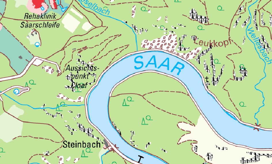
Digitale Topographische Karte 1:25 000
Provided by

Views
3a9543bc-0485-4319-b737-4a1744f2c7fe
Access to the portal
Read here the full details and access to the data.
Associated resources
Not available