 My GeoNetwork catalogue
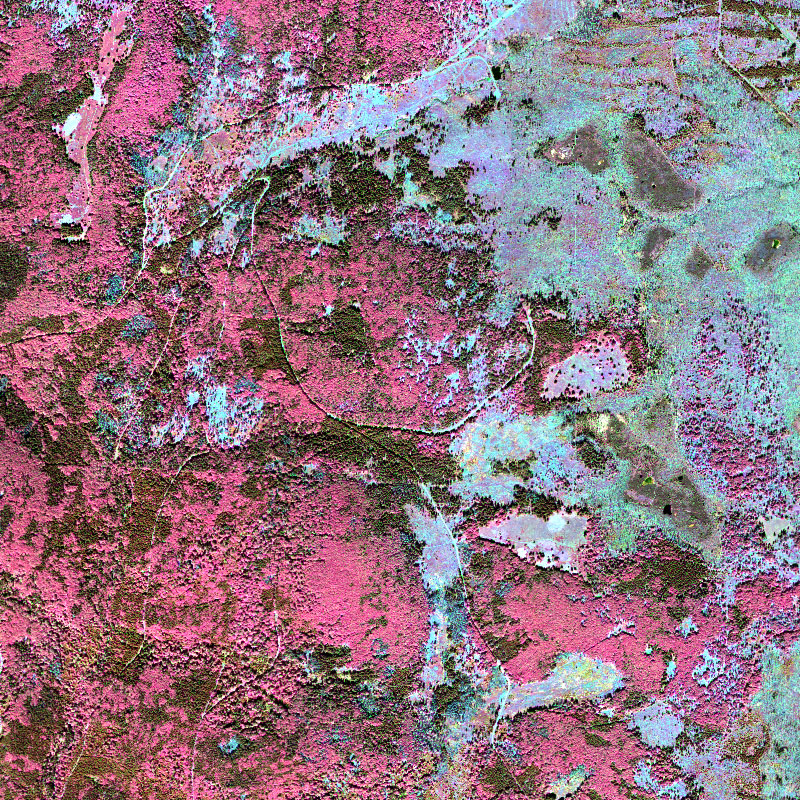
HySpex - Level 2 Hyperspectral Images - Bohemian Forest
This collection contains airborne hyperspectral imagery acquired by the EOC user service OpAiRS. The data was recorded with the airborne DLR EnMAP simulator, which contains two HySpex cameras manufactured by the Norwegian Company NEO. The survey has been conducted within the scope of the “Data Pool Initiative for the Bohemian Forest Ecosystem”. It covers parts of the Bohemian forest, mainly the Bavarian Forest National Park. The data are made available as orthorectified ground reflectance. For more information concerning the airborne sensor system the reader is referred to:
https://www.dlr.de/eoc/en/desktopdefault.aspx/tabid-11411/19998_read-46623/
Simple
- Date (Creation)
- 2019-05-08T16:24:43
- Citation identifier
- https://geoservice.dlr.de/catalogue/srv/metadata/3be0e9ca-cac5-46c9-a856-62fb97667471
- Presentation form
- Digital image
- Other citation details
-
DOI: 10.15489/e8itv4uqol40
- Status
- ongoing
- Maintenance and update frequency
- As needed
- Keywords
-
-
HySpex
-
airborne
-
hyperspectral
-
Bohemian forest ecosystem
-
Level 2
-
-
GEMET - INSPIRE themes, version 1.0
-
-
Orthoimagery
-
Protected sites
-
- Use limitation
-
Nutzungseinschränkungen: Das DLR ist nicht haftbar für Schäden, die sich aus der Nutzung ergeben. / Use Limitations: DLR not liable for damage resulting from use.
- Use limitation
-
Nutzungsbedingungen: https://geoservice.dlr.de/resources/licenses/D-SDA_DataLicenseTerms.pdf / Terms of Use: https://geoservice.dlr.de/resources/licenses/D-SDA_DataLicenseTerms.pdf
- Access constraints
- Other restrictions
- Other constraints
-
Restricted - for further information on data access, please contact: stefanie.holzwarth@dlr.de
- Use constraints
- License
- Use constraints
- Other restrictions
- Other constraints
-
Nutzungsbedingungen: https://geoservice.dlr.de/resources/licenses/D-SDA_DataLicenseTerms.pdf / Terms of Use: https://geoservice.dlr.de/resources/licenses/D-SDA_DataLicenseTerms.pdf
- Spatial representation type
- Grid
- Denominator
- 8000
- Language
- English
- Character set
- UTF8
- Topic category
-
- Imagery base maps earth cover
- Environment
))
- Begin date
- 2013-07-22T09:00:00
- Reference system identifier
- EPSG / DHDN / 3-degree Gauss-Kruger zone 4 (E-N) (EPSG:5678) / 8.6
- Distribution format
-
- OnLine resource
-
DLR HySpex Product Guide (pdf)
(
WWW:LINK-1.0-http--link
)
Product guide (pdf) for the HySpex instrument
- OnLine resource
-
DLR HySpex L2 Processing documentation (pdf)
(
WWW:DOWNLOAD-1.0-http--download
)
PDF-document describing the processing performed for HySpex L2 data
- OnLine resource
-
DLR HySpex information website
(
WWW:LINK-1.0-http--link
)
Webpage with a description of the HySpex instrument
- Hierarchy level
- Series
Domain consistency
- Measure identification
- INSPIRE / Conformity_001
Conformance result
- Date (Publication)
- 2010-12-08
- Explanation
-
See the referenced specification
- Pass
- Yes
- Statement
-
Information on the different processing steps can be found in the following document: https://geoservice.dlr.de/catalogue/srv/api/records/3be0e9ca-cac5-46c9-a856-62fb97667471/attachments/HySpex_L2_Processing.pdf
- File identifier
- 3be0e9ca-cac5-46c9-a856-62fb97667471 XML
- Metadata language
- English
- Character set
- UTF8
- Hierarchy level
- Series
- Hierarchy level name
-
Dataseries
- Date stamp
- 2024-06-20T14:12:17
- Metadata standard name
-
ISO 19115:2003/19139
- Metadata standard version
-
1.0
Overviews

Spatial extent
Provided by
