 www.geodatenkatalog.de (S3L)
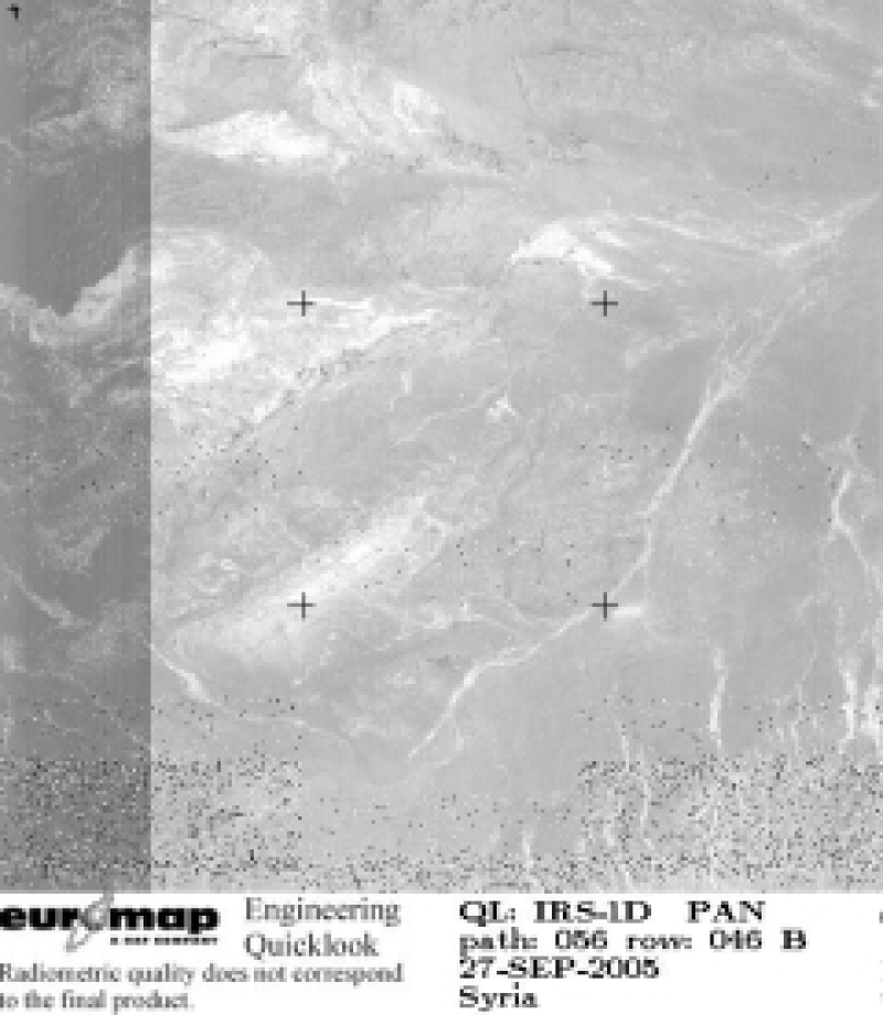
IRS-1D - Panchromatic Images (PAN) - Europe
Indian Remote Sensing satellites (IRS) are a series of Earth Observation satellites, built, launched and maintained by Indian Space Research Organisation. The IRS series provides many remote sensing services to India and international ground stations.
With 5 m resolution and products covering areas up to 70 km x 70 km IRS PAN data provide a cost effective solution for mapping tasks up to 1:25'000 scale.
|
|
Citation proposal
GAF AG. IRS-1D - Panchromatic Images (PAN) - Europe. https://gdk.gdi-de.org/geonetwork/srv/api/records/4003949a-cb4b-41b7-9710-915269990bcd |
- Identification
- Distribution
- Quality
- Spatial rep.
- Ref. system
- Content
- Portrayal
- Metadata
- Md. constraints
- Md. maintenance
- Schema info
Identification
Data identification
Citation
- Date ( Creation )
- 2013-12-02T00:00:00
- Edition
- Presentation form
- Digital map
- Status
- Completed
Point of contact
Author
- Maintenance and update frequency
- Not planned
- GEMET - INSPIRE themes, version 1.0 ( Theme )
-
- Orthoimagery
- Spatial scope ( Theme )
- Keywords
-
- urn:eop:DLR:EOWEB:IRS-1D.PAN.P
- IRS-1D
- PAN
- panchromatic
- visible wavelengths
- FEDEO
- Use limitation
- Nutzungseinschränkungen: Das DLR ist nicht haftbar für Schäden, die sich aus der Nutzung ergeben. / Use Limitations: DLR not liable for damage resulting from use.
Legal constraints
- Access constraints
- Other restrictions
Legal constraints
- Use constraints
- Other restrictions
- Other constraints
- Nutzungsbedingungen / Terms of Use: https://geoservice.dlr.de/resources/licenses/D-SDA_DataLicenseTerms.pdf
- Spatial representation type
- Grid
- Denominator
- 10000
- Metadata language
- eng
- Character set
- UTF8
- Topic category
-
- Imagery base maps earth cover
Extent
N
S
E
W
))
Distribution
Distribution
- Distribution format
-
- ()
Digital transfer options
- OnLine resource
-
IRS-1D.PAN.P access
EOWEB Collection
- OnLine resource
- https://www.euromap.de/site/index.html
Quality
Data quality
- Hierarchy level
- Series
Domain consistency
- Measure identification
- INSPIRE / Conformity_001
Conformance result
Citation
- Date ( Publication )
- 2008-12-04
- Explanation
Lineage
- Statement
- For details see: https://www.euromap.de/site/index.html
- Description
- Browse processing
Ref. system
- Reference system identifier
- EPSG / WGS 84 (EPSG:4326) / 7.4
Metadata
Metadata
- File identifier
- 4003949a-cb4b-41b7-9710-915269990bcd XML
- Metadata language
- English
- Character set
- UTF8
- Hierarchy level
- Series
- Hierarchy level name
- Dataseries
- Date stamp
- 2024-09-27T12:48:45
- Metadata standard name
- ISO 19115:2003/19139
- Metadata standard version
- 1.0
Point of contact
Overviews

thumbnail
large_thumbnail
Provided by

Views
4003949a-cb4b-41b7-9710-915269990bcd
Access to the portal
Read here the full details and access to the data.
Associated resources
Not available