 www.geodatenkatalog.de (S1F)
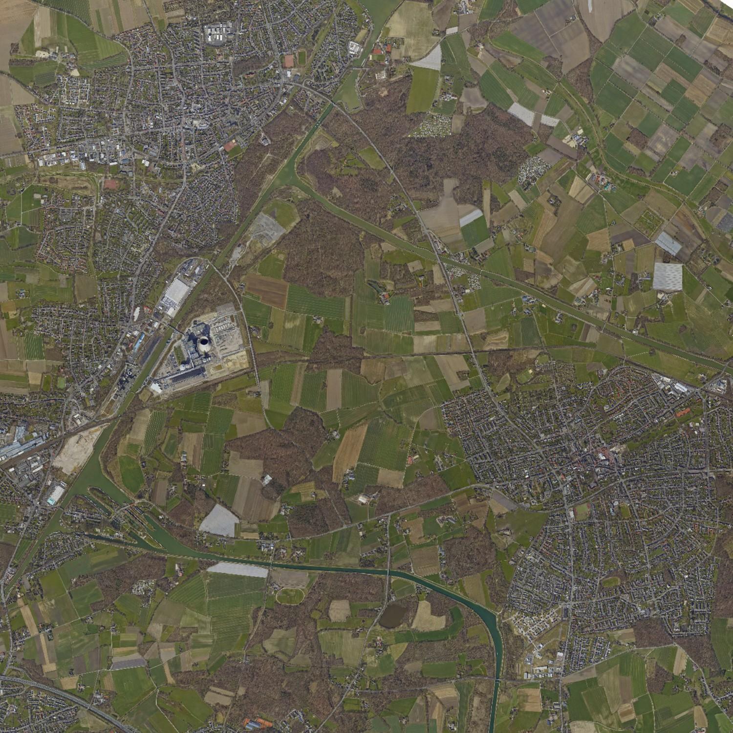
Luftbilder (Kreis Recklinghausen / WMS-Dienst)
Darstellungsdienst (WMS) der Luftbilder im Kreis Recklinghausen aus dem Jahr 2018 (Befliegungsdatum: 06.04.2018)
|
|
Citation proposal
(2018) . Luftbilder (Kreis Recklinghausen / WMS-Dienst). https://gdk.gdi-de.org/geonetwork/srv/api/records/4a1c2757-e1ab-45f1-ae47-f0d0fd148952 |
INSPIRE
Identification
- File identifier
- 4a1c2757-e1ab-45f1-ae47-f0d0fd148952 XML
- Hierarchy level
- Service
Online resource
- Protocol
- OGC:WMS-1.3.0-http-get-map
Resource identifier
Encoding
- Format
- WMS-Dienst
- Version
- 1.3.0
Projection
- code
- EPSG 25832
Classification of data and services
Classification of data and services
- Service Type
- WMS
- Coupling Type
- Tight
Coupled resource
Coupled resource
Classification of data and services
- Service Type
- WMS
- Coupling Type
- Tight
Coupled resource
Coupled resource
Keywords
- GEMET ( Theme )
-
- Luftbild
- Luftbildfotographie
- GovData ( Theme )
-
- Geographie, Geologie und Geobasisdaten
- Region ( Place )
-
- Kreis Recklinghausen
Other keywords
- Keywords ( Theme )
-
- Digitales Orthophoto
- DOP10
- WMS
Geographic coverage
N
S
E
W
))
Temporal reference
Temporal extent
Temporal extent
- Date ( Publication )
- 2018-12-20T08:00:00
Quality and validity
Conformity
Conformity
Conformity
Conformity
Conformity
Conformity
Restrictions on access and use
Restrictions on access and use
- Access constraints
-
Nutzungsbedingungen: Der Dienst wird unter der „Datenlizenz Deutschland – Zero - Version 2.0“ zur Verfügung gestellt.
(https://www.govdata.de/dl-de/zero-2-0)
Responsible organization (s)
Contact for the resource
- Organisation name
- Kreisverwaltung Recklinghausen
- Organisation name
- Kreisverwaltung Recklinghausen
Responsible organization (s)
Contact for the resource
- Organisation name
- Kreisverwaltung Recklinghausen
- Organisation name
- Kreisverwaltung Recklinghausen
Metadata information
Contact for the metadata
- Organisation name
- Kreisverwaltung Recklinghausen
- Date stamp
- 2023-04-13T11:04:30
- Metadata language
- German
SDS
Conformance class 1: invocable
Access Point URL
Endpoint URL
Technical specification
Conformance class 2: interoperable
Coordinate reference system
Quality of Service
Access constraints
Limitation
- string
-
Nutzungsbedingungen: Der Dienst wird unter der „Datenlizenz Deutschland – Zero - Version 2.0“ zur Verfügung gestellt.
(https://www.govdata.de/dl-de/zero-2-0)
Use constraints
Limitation
- string
-
Nutzungsbedingungen: Der Dienst wird unter der „Datenlizenz Deutschland – Zero - Version 2.0“ zur Verfügung gestellt.
(https://www.govdata.de/dl-de/zero-2-0)
Responsible custodian
Contact for the resource
Conformance class 3: harmonized
Contains Operations
- Operation Name
- GetCapabilities
- Distributed Computing Platforms
- Web services
- Connect Point
-
Format : application/vnd.ogc.wms_xml
Format : application/vnd.ogc.wms_xml
Overviews
Luftbilder
Provided by

Views
4a1c2757-e1ab-45f1-ae47-f0d0fd148952
Access to the portal
Read here the full details and access to the data.
Associated resources
Not available