 www.geodatenkatalog.de (S1L)
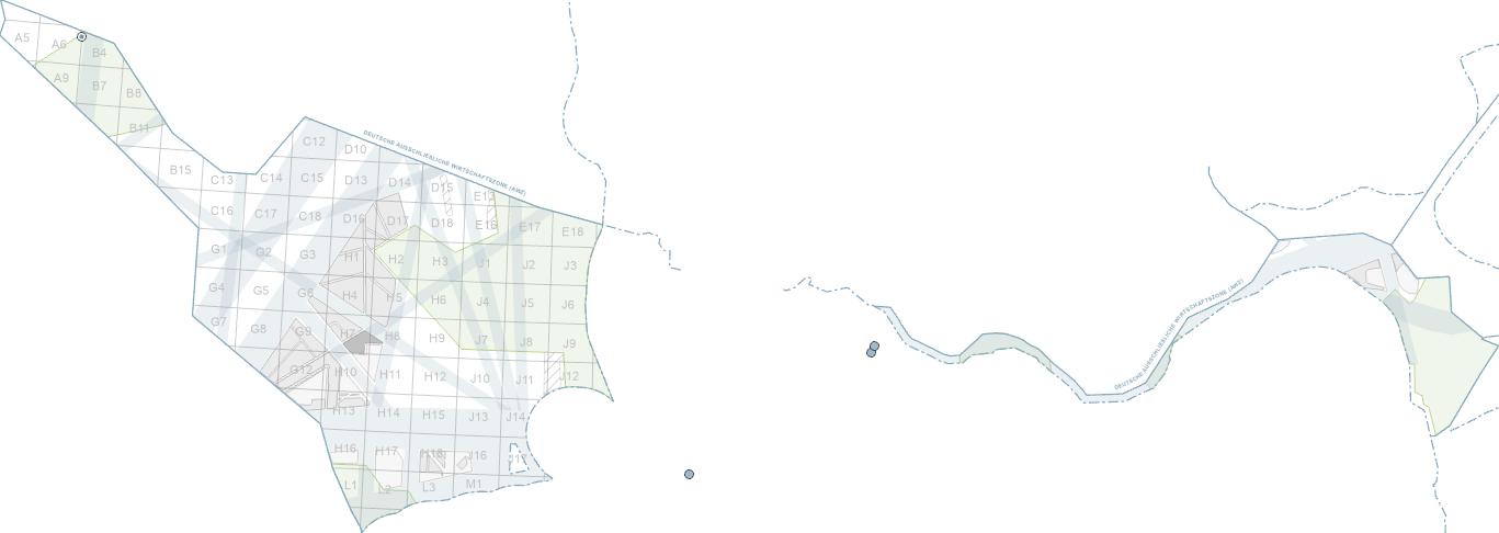
GeolDG: Maritime use of the German Exclusive Economic Zone (EEZ)
This dataset contains sea-borders based on Maritime Boundaries Geodatabase from Flanders Marine Institute. It contains borderlines of the Exclusive Economic Zone (EEZ) and the 12 nautical mile limit (SMZ) of Germany and neighbouring countries of North Sea and Baltic Sea. This data is compiled and prepared for displaying background information for metadata of geological surveys, according to Geological Data Act (GeolDG).
|
|
Citation proposal
(2023) . GeolDG: Maritime use of the German Exclusive Economic Zone (EEZ). https://gdk.gdi-de.org/geonetwork/srv/api/records/5056bcf9-2a62-4833-beda-fca50c4c9c02 |
- Identification
- Distribution
- Quality
- Spatial rep.
- Ref. system
- Content
- Portrayal
- Metadata
- Md. constraints
- Md. maintenance
- Schema info
Identification
Data identification
Citation
- Alternate title
- AWZ SeeFlaechen (GeolDG)
- Date ( Publication )
- 2023-02-28
- Date ( Revision )
- 2025-03-13
- Identifier
- 826b06c9-6f4a-51cc-74ab-02674cfd6104
- Status
- completed Completed
Point of contact
- GEMET - INSPIRE themes, version 1.0 ( Theme )
-
- Geologie
- Geology
- Keywords ( Theme )
-
- Geologiedatengesetz
- GeolDG
- Seegrenzen
- Keywords ( Place )
-
- Ausschließliche Wirtschaftszone
- AWZ
- Nordsee
- Ostsee
- exclusive economic zone
- EEZ
- North Sea
- Baltic Sea
- 12-Seemeilen-Zone
- Deutschland
Legal constraints
- Access constraints
- Other restrictions
- Use constraints
- Intellectual property rights
- Spatial representation type
- Vector
- Metadata language
- ger German
- Character set
- utf8 UTF8
- Topic category
-
- Geoscientific information
N
S
E
W
))
Distribution
Distribution
- Distribution format
-
- WMS (OGC:WMS 1.3.0 )
- OnLine resource
-
BGR-Internetseite zum Geologiedatengesetz
BGR-Internetseite zum Geologiedatengesetz
- OnLine resource
-
Karte im BGR-Geoviewer
Karte im BGR-Geoviewer
Quality
Data quality
Scope
- Hierarchy level
- Dataset
Conformance result
Citation
- Date ( Publication )
- 2010-12-08
- Explanation
- siehe dazu die angegebene Durchführungsbestimmung
- Statement
- Seegrenzen: Flanders Marine Institute (2019) - Maritime Boundaries v11. Source: https://www.marineregions.org
Metadata
Metadata
- File identifier
- 5056bcf9-2a62-4833-beda-fca50c4c9c02 XML
- Metadata language
- German
- Character set
- utf8 UTF8
- Hierarchy level
- dataset Dataset
- Hierarchy level name
- GeolDG
- Date stamp
- 2025-03-13
- Metadata standard name
- INSPIRE Metadata Implementing Rules: Technical Guidelines based on EN ISO 19115 and EN ISO 19119
- Metadata standard version
- n/a
Point of contact
Overviews
Provided by

Views
5056bcf9-2a62-4833-beda-fca50c4c9c02
Access to the portal
Read here the full details and access to the data.
Associated resources
Not available