 www.geodatenkatalog.de (S1L)
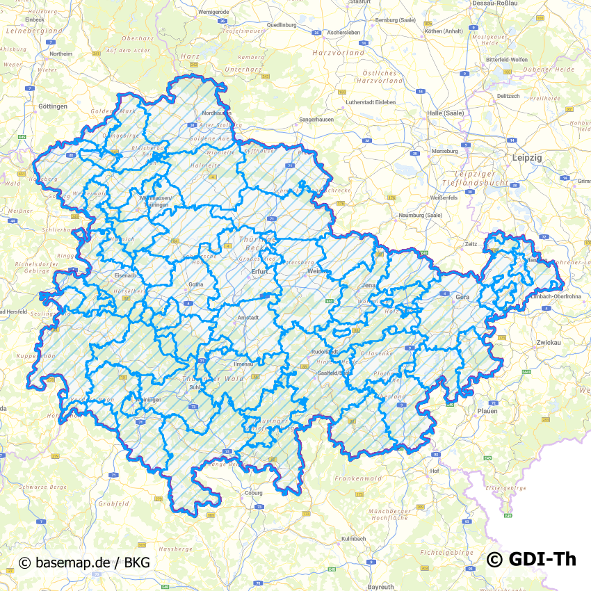
Trinkwasser Versorgungsgebiete Thüringen
In Thüringen sind für die Sicherung einer qualitäts- und quantitätsgerechten Trinkwasserversorgung die Städte und Gemeinden zuständig. Größtenteils haben sich diese zu Wasserversorgungszweckverbänden zusammengeschlossen oder organisieren es selbst. Der thüringenweite Datensatz enthält die Verbands- bzw. Versorgungsgebiete mit weiteren Informationen zu den entsprechenden verantwortlichen Stellen.
|
|
Citation proposal
. Trinkwasser Versorgungsgebiete Thüringen. https://gdk.gdi-de.org/geonetwork/srv/api/records/63f1dcdb-c017-4fb3-b213-aff4b762ed7b |
INSPIRE
Identification
- File identifier
- 63f1dcdb-c017-4fb3-b213-aff4b762ed7b XML
- Hierarchy level
- Dataset
Online resource
- Protocol
- OGC:WMS-http-get-map
- Protocol
- WWW:DOWNLOAD-1.0-http--download
Resource identifier
- Metadata language
- German
- Spatial representation type
- Vector
Encoding
- Format
- ESRI Shapefile
- Version
- 1.0
Projection
Classification of data and services
- Topic category
-
- Utilities communication
Classification of data and services
Coupled resource
Coupled resource
Classification of data and services
Coupled resource
Coupled resource
Keywords
- GEMET - INSPIRE themes, version 1.0 ( Theme )
-
- Versorgungswirtschaft und staatliche Dienste
Other keywords
- Keywords
-
- opendata
- GOVE
- ENER
- ENVI
- Ver- und Entsorgung
- Versorgungsgebiete
- Trinkwasser
- Thüringen
Geographic coverage
N
S
E
W
))
Temporal reference
Temporal extent
Temporal extent
- Date ( Revision )
- 2024-02-19
Quality and validity
- Lineage
- Grundlage Satzungen und Informationen der Versorger auf Basis der Gemeindegrenzen digitalisiert
- Denominator
- 500
Conformity
Conformity
Conformity
Conformity
Conformity
Conformity
- Explanation
- Originäre Daten
- Explanation
- mit GDI_DE Testsuite validiert
- Explanation
- Originäre Daten
- Explanation
- Originäre Daten
Restrictions on access and use
- Access constraints
- Nutzungsbedingungen: Datenlizenz Deutschland-Namensnennung 2.0 in JSON Syntax
- Access constraints
- {"id": "dl-by-de/2.0", "name": "Datenlizenz Deutschland Namensnennung 2.0", "url": "https://www.govdata.de/dl-de/by-2-0 ", "quelle": "© GDI-Th"}
Restrictions on access and use
Responsible organization (s)
Contact for the resource
- Organisation name
- Thüringer Landesamt für Bodenmanagement und Geoinformation
- ZGD@tlbg.thueringen.de
Responsible organization (s)
Contact for the resource
- Organisation name
- Thüringer Landesamt für Bodenmanagement und Geoinformation
- ZGD@tlbg.thueringen.de
Metadata information
Contact for the metadata
- Organisation name
- Thüringer Landesamt für Bodenmanagement und Geoinformation
- Date stamp
- 2024-02-19T15:57:28
- Metadata language
- German
- Character set
- UTF8
SDS
Conformance class 1: invocable
Access Point URL
Endpoint URL
Technical specification
Conformance class 2: interoperable
Coordinate reference system
Quality of Service
Access constraints
Limitation
Use constraints
Limitation
Responsible custodian
Contact for the resource
Conformance class 3: harmonized
Overviews
Vorschaubild
Provided by

Views
63f1dcdb-c017-4fb3-b213-aff4b762ed7b
Access to the portal
Read here the full details and access to the data.
Associated resources
Not available