 www.geodatenkatalog.de (S3L)
WMS Verwaltungsgemeinschaft Dolmar-Salzbrücke
Darstellungsdienst der Geodaten der Verwaltungsgemeinschaft Dolmar-Salzbrücke. Der Darstellungsdienst (WMS) enthält die Geltungsbereiche der Bebauungspläne und Satzungen, Kindertagesstätten, Spielplätze, Friedhöfe sowie den Flächennutzungsplan der Verwaltungsgemeinschaft Dolmar-Salzbrücke. Es handelt sich um einen Sekundärdatenbestand.
|
|
Citation proposal
(2023) . WMS Verwaltungsgemeinschaft Dolmar-Salzbrücke. https://gdk.gdi-de.org/geonetwork/srv/api/records/66147a29-ddd1-4450-a3a7-c0392567349d |
INSPIRE
Identification
- File identifier
- 66147a29-ddd1-4450-a3a7-c0392567349d XML
- Hierarchy level
- Service
Online resource
- Protocol
- OGC:WMS-http-get-map
Resource identifier
Encoding
- Format
- shp
- Version
- QGIS
Projection
Classification of data and services
Classification of data and services
- Service Type
- view
- Coupling Type
- Tight
Coupled resource
Coupled resource
Classification of data and services
- Service Type
- view
- Coupling Type
- Tight
Coupled resource
Coupled resource
Keywords
- GEMET - INSPIRE themes, version 1.0 ( Theme )
-
- Versorgungswirtschaft und staatliche Dienste
- Bodennutzung
- VERORDNUNG (EG) Nr. 1205/2008 DER KOMMISSION zur Durchführung der Richtlinie 2007/2/EG des Europäischen Parlaments und des Rates hinsichtlich Metadaten
-
- humanGeographicViewer
- Darstellungsdienste
Other keywords
- Keywords
-
- WMS
- opendata
- GOVE
- REGI
- SOCI
- EDUC
- Bauleitplanung
- B-Plan
- einfacher B-Plan
- qualifizierter B-Plan
- Vorhabenbezogener B-Plan
- Vorhaben- und Erschließungsplan
- Entwicklungssatzung
- Innenbereichssatzung
- Außenbereichssatzung
- Sanierungssatzung
- Satzung
- Bebauungsplan
- Klarstellungssatzung
- Geltungsbereich
- Ergänzungssatzung
- Flächennutzungsplan
- Kinderbetreuung
- Kindertagesstätten
- Kita
- Kindergarten
- Kinderkrippe
- Spielplatz
- Friedhof
- Thüringen
Geographic coverage
N
S
E
W
))
Temporal reference
Temporal extent
Temporal extent
- Date ( Creation )
- 2021-07-13
- Date ( Publication )
- 2023-10-11
Quality and validity
- Lineage
- WMS
Conformity
Conformity
Conformity
Conformity
Conformity
Conformity
- Explanation
- mit GDI-DE Testsuite validiert
- Explanation
- mit GDI-DE Testsuite validiert
- Explanation
- mit GDI-DE Testsuite validiert
- Explanation
- mit GDI-DE Testsuite validiert
Restrictions on access and use
Restrictions on access and use
- Access constraints
- Nutzungsbedingungen: Datenlizenz Deutschland-Namensnennung 2.0 in JSON Syntax
- Access constraints
- {"id": "dl-by-de/2.0", "name": "Datenlizenz Deutschland Namensnennung 2.0", "url": "https://www.govdata.de/dl-de/by-2-0 ", "quelle": "© GDI-Th"}
Responsible organization (s)
Contact for the resource
- Organisation name
- Thüringer Landesamt für Bodenmanagement und Geoinformation
Responsible organization (s)
Contact for the resource
- Organisation name
- Thüringer Landesamt für Bodenmanagement und Geoinformation
Metadata information
Contact for the metadata
- Organisation name
- Thüringer Landesamt für Bodenmanagement und Geoinformation
- Date stamp
- 2023-10-11T11:31:34
- Metadata language
- German
SDS
Conformance class 1: invocable
- Pass
- true
- Pass
- true
- Pass
- true
- Pass
- true
Access Point URL
Endpoint URL
Technical specification
- Date
- Explanation
- mit GDI-DE Testsuite validiert
- Date
- Explanation
- mit GDI-DE Testsuite validiert
- Date
- Explanation
- mit GDI-DE Testsuite validiert
- Date
- Explanation
- mit GDI-DE Testsuite validiert
Conformance class 2: interoperable
Coordinate reference system
Quality of Service
Access constraints
Limitation
- string
- Nutzungsbedingungen: Datenlizenz Deutschland-Namensnennung 2.0 in JSON Syntax
- string
- {"id": "dl-by-de/2.0", "name": "Datenlizenz Deutschland Namensnennung 2.0", "url": "https://www.govdata.de/dl-de/by-2-0 ", "quelle": "© GDI-Th"}
Use constraints
Limitation
- string
- Nutzungsbedingungen: Datenlizenz Deutschland-Namensnennung 2.0 in JSON Syntax
- string
- {"id": "dl-by-de/2.0", "name": "Datenlizenz Deutschland Namensnennung 2.0", "url": "https://www.govdata.de/dl-de/by-2-0 ", "quelle": "© GDI-Th"}
Responsible custodian
Contact for the resource
Conformance class 3: harmonized
Contains Operations
- Operation Name
- GetCapabilities
- Distributed Computing Platforms
- Web services
- Connect Point
-
Darstellungsdienst für Geodaten der Verwaltungsgemeinschaft Dolmar-Salzbrücke
Darstellungsdienst für Geodaten der Verwaltungsgemeinschaft Dolmar-Salzbrücke
Overviews
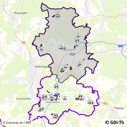
Vorschaubild
Provided by

Views
66147a29-ddd1-4450-a3a7-c0392567349d
Access to the portal
Read here the full details and access to the data.
Associated resources
Not available