 www.geodatenkatalog.de (S1L)
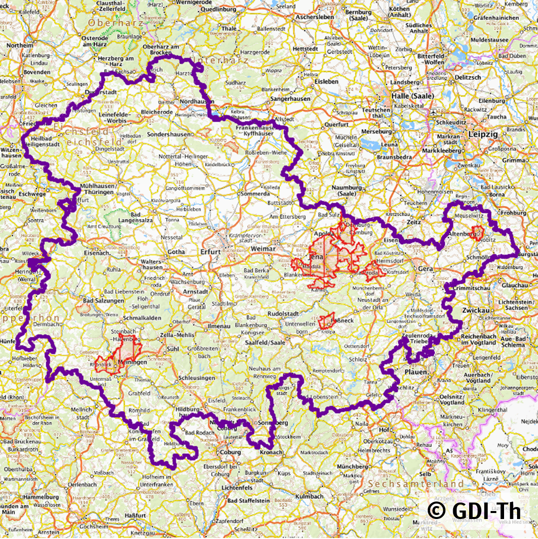
Strom Versorgungsgebiete Thüringen
Zusammenfassung der in der GDI-Th veröffentlichten Strom Versorgungsgebiete von Ver- und Entsorgern in Thüringen. Die originären Daten werden von den jeweiligen Ver- und Entsorgern gepflegt. Bitte schauen Sie in die Objektinformationen, um sich über den zuständigen Ver- und Entsorger zu informieren.
|
|
Citation proposal
. Strom Versorgungsgebiete Thüringen. https://gdk.gdi-de.org/geonetwork/srv/api/records/671eee7a-91f6-4850-a434-aed4a54d1bb6 |
INSPIRE
Identification
- File identifier
- 671eee7a-91f6-4850-a434-aed4a54d1bb6 XML
- Hierarchy level
- Dataset
Online resource
Resource identifier
- Metadata language
- German
Encoding
Projection
Classification of data and services
- Topic category
-
- Utilities communication
Classification of data and services
Coupled resource
Coupled resource
Classification of data and services
Coupled resource
Coupled resource
Keywords
- GEMET - INSPIRE themes, version 1.0 ( Theme )
-
- Versorgungswirtschaft und staatliche Dienste
Other keywords
- Keywords
-
- Thüringen
- Versorgungsgebiet
- Ver- und Entsorger
- Strom
Geographic coverage
N
S
E
W
))
Temporal reference
Temporal extent
Temporal extent
- Date ( Creation )
- 2020-01-15
Quality and validity
- Lineage
- Die Geodaten sind Eigentum des Netzbetreibers
- Denominator
- 150000
Conformity
Conformity
Conformity
Conformity
Conformity
Conformity
- Explanation
- Originäre Daten
Restrictions on access and use
- Access constraints
- Nutzungsbedingungen: Die Geodaten sind Eigentum des Netzbetreibers. Es gelten die Nutzungsbedingungen des Netzbetreibers, Nutzungseinschränkungen: Der Sammel-Darstellungsdienst ist nicht zur Weiterverwendung freigegeben. Bitte recherchieren Sie im GeoMIS.Th nach den Darstellungsdiensten des jeweiligen Ver- und Entsorgers!
Restrictions on access and use
Responsible organization (s)
Contact for the resource
- Organisation name
- Thüringer Landesamt für Bodenmanagement und Geoinformation
Responsible organization (s)
Contact for the resource
- Organisation name
- Thüringer Landesamt für Bodenmanagement und Geoinformation
Metadata information
Contact for the metadata
- Organisation name
- Thüringer Landesamt für Bodenmanagement und Geoinformation
- Date stamp
- 2022-02-09T14:38:17
- Metadata language
- German
SDS
Conformance class 1: invocable
Access Point URL
Endpoint URL
Technical specification
Conformance class 2: interoperable
Coordinate reference system
Quality of Service
Access constraints
Limitation
Use constraints
Limitation
Responsible custodian
Contact for the resource
Conformance class 3: harmonized
Overviews
Vorschaubild
Provided by

Views
671eee7a-91f6-4850-a434-aed4a54d1bb6
Access to the portal
Read here the full details and access to the data.
Associated resources
Not available