 www.geodatenkatalog.de (S3F)
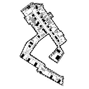
Klarstellungssatzung - Gemeinde Nuthetal OT Fahlhorst
Die Klarstellungssatzung legt die Grenzen für im Zusammenhang bebaute Ortsteile fest.
Damit wird ein Innenbereich bestimmt, der grundsätzlich unter Beachtung gesetzlicher Vorgaben auch ohne Aufstellung eines Bebauungsplanes bebaubar ist.
|
|
Citation proposal
(2001) . Klarstellungssatzung - Gemeinde Nuthetal OT Fahlhorst. https://gdk.gdi-de.org/geonetwork/srv/api/records/6c1371d3-5c5c-490e-9961-384f9e99ae2a |
Simple
- Date ( Publication )
- 2001-02-22T00:00:00
- Purpose
- Status
- completed Completed
Point of contact
- Keywords ( Theme )
-
- bodennutzung
- BE/BB Schlagwortliste, Version 1.0 ( Theme )
-
- Boden
- Use constraints
- Other restrictions
- Use constraints
- Copyright
- Other constraints
- Bereitgestellte Daten dienen ausschließlich der Information und besitzen keine Rechtsverbindlichkeit.
- Access constraints
- Other restrictions
- Classification
- unclassified Unclassified
- Spatial representation type
- vector Vector
- Spatial representation type
- grid Grid
- Denominator
- 2000
- Metadata language
- ger German
- Character set
- utf8 UTF8
- Topic category
-
- Utilities communication
- Description
- Fahlhorst
N
S
E
W
))
- Hierarchy level
- dataset Dataset
- Statement
- Die Plangrundlage wurde gescannt, georeferenziert und vektorisiert.
gmd:MD_Metadata
- File identifier
- 6c1371d3-5c5c-490e-9961-384f9e99ae2a XML
- Metadata language
- ger German
- Character set
- utf8 UTF8
- Hierarchy level
- dataset Dataset
- Hierarchy level name
- Date stamp
- 2017-01-16T13:52:29
- Metadata standard name
- ISO 19115:2003/Cor 1:2006, 19119:2005/Amd 1:2008 (AdV-Metadatenprofil)
- Metadata standard version
- 1.2.1
Point of contact
Overviews
Provided by

Views
6c1371d3-5c5c-490e-9961-384f9e99ae2a
Access to the portal
Read here the full details and access to the data.
Associated resources
Not available