 www.geodatenkatalog.de (S2L)
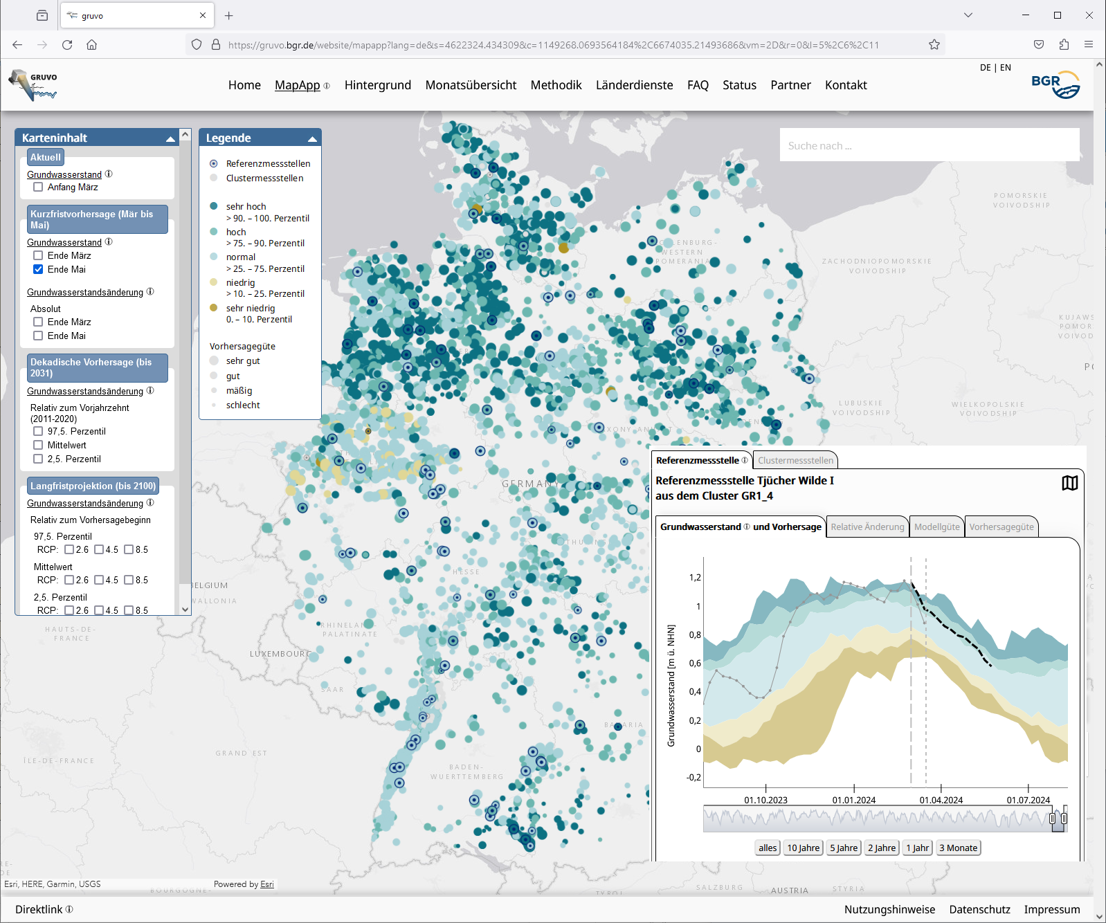
National groundwater levels and forecasts (GRUVO)
A machine-learning based method provides a standardised representation of current and future groundwater levels throughout Germany, which is updated at regular intervals. Forecast periods range from short-term (up to 3 months) to medium-term (10 years) and long-term (up to 2100) to objectively assess the development of groundwater levels against the background of climate change, taking into account the scenarios of the Intergovernmental Panel on Climate Change (IPCC). The application also provides historical groundwater levels.
|
|
Citation proposal
(2024) . National groundwater levels and forecasts (GRUVO). https://gdk.gdi-de.org/geonetwork/srv/api/records/6dffc32f-4ae2-4148-90d4-5c02d5d65b0b |
INSPIRE
Identification
- File identifier
- 6dffc32f-4ae2-4148-90d4-5c02d5d65b0b XML
- Hierarchy level
- application
Online resource
Resource identifier
- Metadata language
- German
- Spatial representation type
- Vector
Encoding
- Format
- online
- Version
- n/a
Projection
Classification of data and services
- Topic category
-
- Geoscientific information
Classification of data and services
Coupled resource
Coupled resource
Classification of data and services
Coupled resource
Coupled resource
Keywords
- GEMET - INSPIRE themes, version 1.0 ( Theme )
-
- Geologie
Other keywords
- Keywords ( Theme )
-
- Grundwasserstand
- Groundwater level
- Vorhersage
- Forecast
- Keywords ( Place )
-
- Deutschland
Geographic coverage
N
S
E
W
))
Temporal reference
Temporal extent
Temporal extent
- Date ( Publication )
- 2024-04-15
Quality and validity
- Lineage
- Grundwasserstandsdaten aus Messnetzen von Staatlichen Geologischen Diensten, Landesumwelt- und Wasserwirtschaftsämtern sowie Wetter- und Klimavorhersagen und Klimaprojektionen des Deutschen Wetterdienstes (DWD). - Groundwater level data from monitoring networks of state geological surveys, state environmental and water management agencies, as well as weather and climate forecasts and climate projections from the German Weather Service (DWD).
- Denominator
- 100000
Conformity
Conformity
Conformity
Conformity
Conformity
Conformity
Restrictions on access and use
- Access constraints
- Allgemeine Geschäftsbedingungen, siehe https://www.bgr.bund.de/AGB - General terms and conditions, see https://www.bgr.bund.de/AGB_en. Die bereitgestellten Informationen sind bei Weiterverwendung wie folgt zu zitieren: Datenquelle: GRUVO, (c) BGR, Hannover, 2024
Restrictions on access and use
Responsible organization (s)
Contact for the resource
- Organisation name
- Bundesanstalt für Geowissenschaften und Rohstoffe (BGR)
- gruvo@bgr.de
Responsible organization (s)
Contact for the resource
- Organisation name
- Bundesanstalt für Geowissenschaften und Rohstoffe (BGR)
- gruvo@bgr.de
Metadata information
Contact for the metadata
- Organisation name
- Bundesanstalt für Geowissenschaften und Rohstoffe (BGR)
- Date stamp
- 2024-04-12
- Metadata language
- German
- Character set
- UTF8
SDS
Conformance class 1: invocable
Access Point URL
Endpoint URL
Technical specification
Conformance class 2: interoperable
Coordinate reference system
Quality of Service
Access constraints
Limitation
Use constraints
Limitation
Responsible custodian
Contact for the resource
Conformance class 3: harmonized
Overviews
Provided by

Views
6dffc32f-4ae2-4148-90d4-5c02d5d65b0b
Access to the portal
Read here the full details and access to the data.
Associated resources
Not available