 My GeoNetwork catalogue
WFS Kommunale Teilgebiete 1:25 000
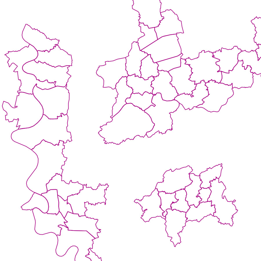
Dieser Downloaddienst stellt die kommunalen Teilgebiete 1:25 000 (KT25) für das Gebiet der Bundesrepublik Deutschland bereit.
Der Datensatz KT25 enthält als Ergänzung zum Datensatz VG25 für die größten Gemeinden (mindestens 75 000 Einwohner) die Flächen der administrativen Verwaltungsebene Kommunale Teilgebiete 1.Ordnung (KT1) sowie deren Grenzlinien innerhalb der Gemeinden (KTLI).
Für die kommunalen Teilgebiete wurde ein gemeindeeigener Schlüssel als KTS übernommen oder für den Datensatz neu erzeugt. Aus der Kombination von Amtlichem Regionalschlüssel (ARS) und KTS wurde der datensatzweit eindeutige Kommunalschlüssel (KS) erstellt.
Die Geometrie der Grenzen ist hinsichtlich Genauigkeit und Auflösung auf das ATKIS®-Basis-DLM ausgerichtet. Maßstab: 1:25000; Bodenauflösung: nullm; Scanauflösung (DPI): null
Simple
Identification info
- Alternate title
-
wfs_kt25
- Date (Creation)
- 2018-10-09T00:00:00.000+02:00
- Status
- On going
+49 69 6333-235
https://www.bkg.bund.de
+49 69 6333-251
https://www.bkg.bund.de
- Maintenance and update frequency
- Annually
- Update scope
- Service
-
Service Classification, version 1.0
-
-
infoFeatureAccessService
-
- Keywords
-
-
Verwaltungsgebiete
-
Kommunale Teilgebiete
-
WFS
-
DownloadService
-
INSPIRE:DownloadService
-
infoFeatureAccessService
-
BKG
-
Bundesamt für Kartographie und Geodäsie
-
Deutschland
-
-
GEMET - Concepts, version 3.1
- Use constraints
- Other restrictions
- Other constraints
-
Quellenvermerk: © BKG (Jahr des letzten Datenbezugs), Datenquellen: https://sg.geodatenzentrum.de/web_public/gdz/datenquellen/datenquellen_kt25.pdf
- Access constraints
- Other restrictions
- Other constraints
-
Es gelten Zugriffsbeschränkungen. Für den Erwerb von Nutzungsrechten wenden Sie sich deshalb bitte an die Zentrale Stelle Geotopographie der AdV (ZSGT) / Dienstleistungszentrum (DLZ) des Bundesamtes für Kartographie und Geodäsie: https://www.bkg.bund.de/DE/Service/Kontakt/kontakt.html .
- Service Type
- download
- Service Version
-
OGC:WFS 2.0
- Service Version
-
OGC:WFS 1.1.0
- Extent type code
- Yes
- Geographic identifier
- Raumbezug des Datensatzes
))
- Coupling Type
- Tight
Contains Operations
- Operation Name
-
GetCapabilities
- Distributed Computing Platforms
- Web services
- Connect Point
- https://sg.geodatenzentrum.de/wfs_kt25?
Contains Operations
- Operation Name
-
DescribeFeatureType
- Distributed Computing Platforms
- Web services
- Connect Point
- https://sg.geodatenzentrum.de/wfs_kt25?
Contains Operations
- Operation Name
-
GetFeature
- Distributed Computing Platforms
- Web services
- Connect Point
- https://sg.geodatenzentrum.de/wfs_kt25?
- Operates On
- Unique resource identifier
- EPSG 25832: ETRS89 / UTM Zone 32N
- Unique resource identifier
- EPSG 3045: ETRS89 / UTM Zone 33N (N-E)
- Unique resource identifier
- EPSG 3044: ETRS89 / UTM Zone 32N (N-E)
- Unique resource identifier
- EPSG 3035: ETRS89 / LAEA Europa
- Unique resource identifier
- EPSG 3034: ETRS89 / LCC Europa
- Unique resource identifier
- EPSG 4258: ETRS89 / geographisch
- Unique resource identifier
- EPSG 4839: ETRS89 / LCC Deutschland (N-E)
- Unique resource identifier
- EPSG 5679: DHDN / Gauss-Krüger Zone 5 (E-N)
- Unique resource identifier
- EPSG 5678: DHDN / Gauss-Krüger Zone 4 (E-N)
- Unique resource identifier
- EPSG 5677: DHDN / Gauss-Krüger Zone 3 (E-N)
- Unique resource identifier
- EPSG 5676: DHDN / Gauss-Krüger Zone 2 (E-N)
- Unique resource identifier
- EPSG 31469: DHDN / Gauss-Krüger Zone 5
- Unique resource identifier
- EPSG 31468: DHDN / Gauss-Krüger Zone 4
- Unique resource identifier
- EPSG 31467: DHDN / Gauss-Krüger Zone 3
- Unique resource identifier
- EPSG 31466: DHDN / Gauss-Krüger Zone 2
- Unique resource identifier
- EPSG 5650: ETRS89 / UTM Zone 33N (zE-N)
- Unique resource identifier
- EPSG 4647: ETRS89 / UTM Zone 32N (zE-N)
- Unique resource identifier
- EPSG 25833: ETRS89 / UTM Zone 33N
- Unique resource identifier
- EPSG 3857: WGS 84 / Pseudo-Mercator
- Unique resource identifier
- EPSG 4326: WGS 84 / geographisch
- Distribution format
-
-
GML
(
2.1.2
)
-
GML
(
3.1.1
)
-
GML
(
3.2
)
-
GML
(
2.1.2
)
- OnLine resource
- Produktseite des Geodatenzentrums
- OnLine resource
- Dokument zu Nutzungsbedingungen und Quellenvermerk
- OnLine resource
- Dienst "WFS Kommunale Teilgebiete 1:25 000" (GetCapabilities) ( OGC Web Feature Service )
- Hierarchy level
- Service
- Other
-
service
Conformance result
- Date (Publication)
- 2019-12-19
- Explanation
-
see the referenced specification
- Pass
- Yes
- File identifier
- 76266D25-3AA0-48B5-9EBE-B3EA896DCDD6 XML
- Metadata language
- Deutsch
- Character set
- UTF8
- Hierarchy level
- Service
- Hierarchy level name
-
service
- Date stamp
- 2026-05-05
- Metadata standard name
-
ISO19119
- Metadata standard version
-
2005/PDAM 1
Overviews
Spatial extent
Provided by
